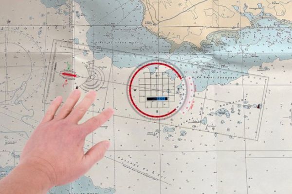
How to use a rapporteur rule in navigation?

Solidarity sale: 129,000 euros raised for sea rescue
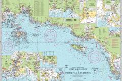
End of an era: Imray discontinues paper charts in 2025
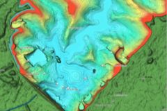
C-MAP map enhancements for inland and coastal waters in Europe
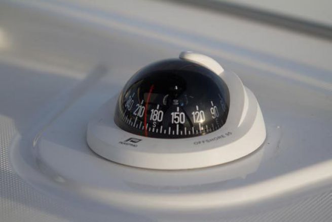
Understand and use magnetic variation well
Deciphering the mysteries of the Carta Marina and its medieval sea monsters
C-MAP announces major European mapping update for 2024
Boating license
When I arrive in port at night, what color lighthouse will guide me?
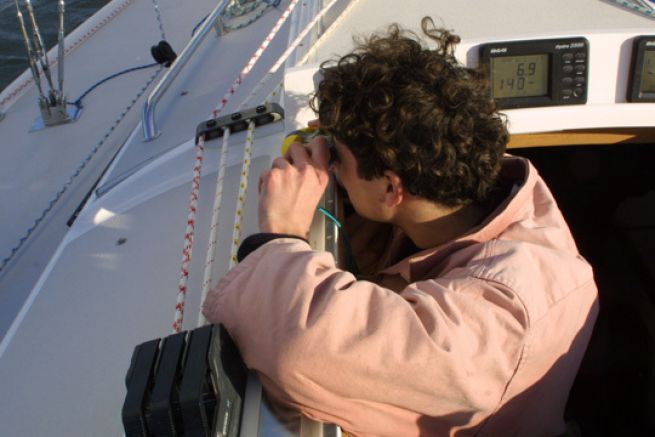
Update the nautical chart with bearings
Cartes marines: An artistic and poetic book about France
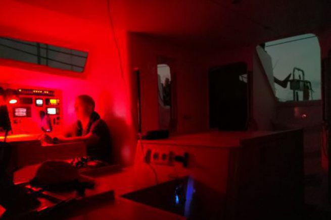
Positioning on GPS and on a nautical chart: knowing the differences
Boating license
How does the weather influence water level?
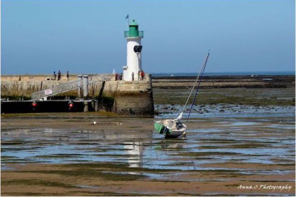
Charts: chart zeros
TZ Maps, a new player in the electronic mapping landscape
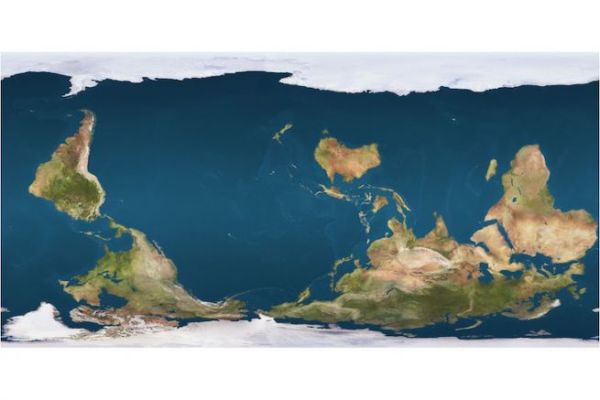
There is no perfect world map!
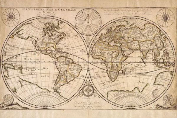
What if all our maps were wrong?
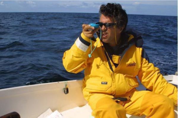
How to postpone a bearing with the reporter rule?
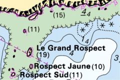
Understanding the Land-Sea Boundary and its usefulness to boaters
Exclusive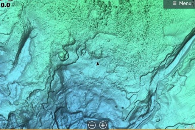
Reveal and Discover, the new C-Map maps now available!
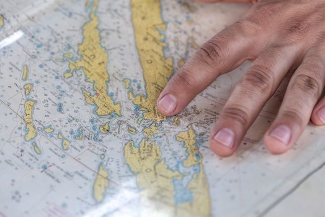
SHOM, 300 years of cartography at the service of sea users
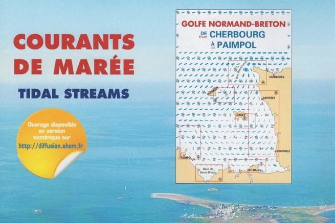
How to read an atlas of SHOM tidal current maps
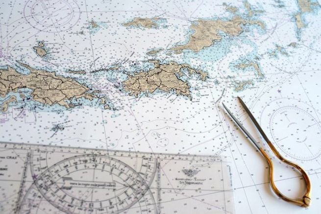
How about I print out my NOAA charts?
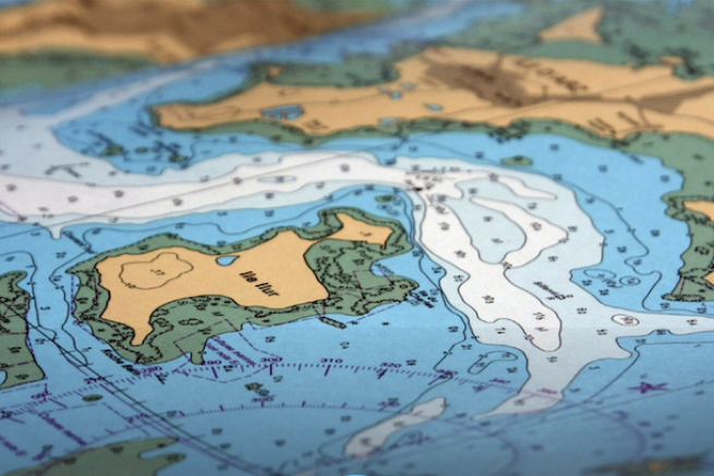
The Shom's paper maps have changed, are you up to date?
Nautic-way.com, all nautical charts online
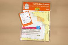
NV Charts, the complementarity of paper card and electronics
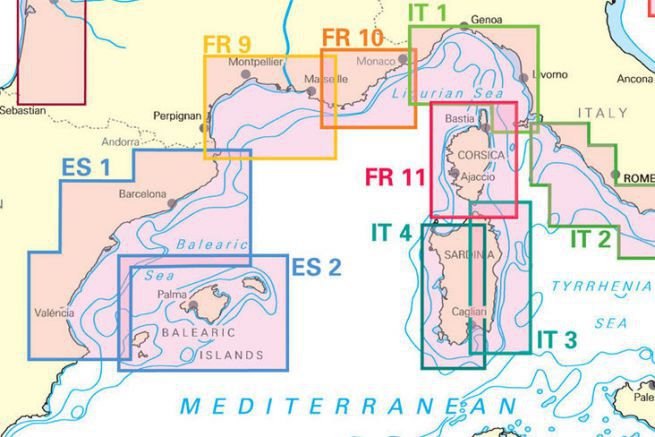
NV Charts lands in the Mediterranean
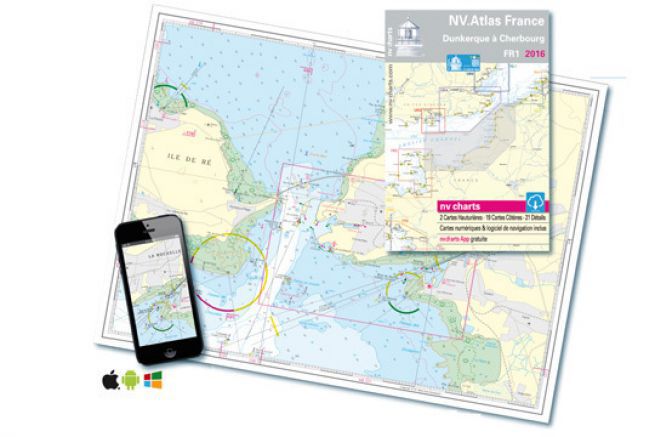
NV Charts marine charts change format
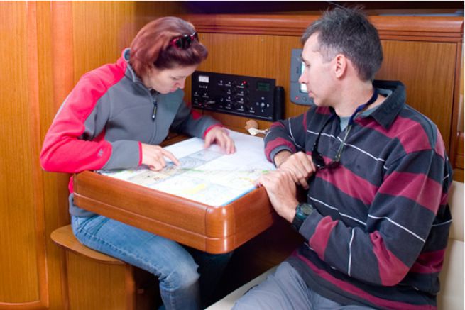
Navicarte, the other way to read a paper map
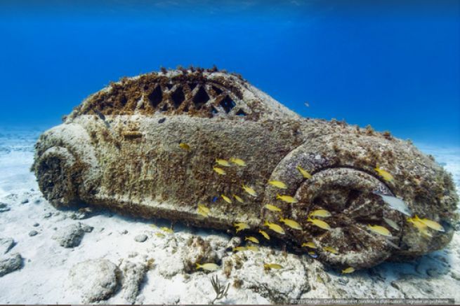
When Google makes you discover the oceans

Do you have a minute? Paper or electronic map
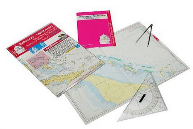
New approach with NV Charts charts
