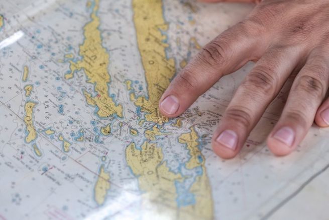
November 19, 2020 will mark the 300th anniversary of the Naval Chart and Plan Depot, of which the SHOM as we know it today is the heir. The Hydrographic and Oceanographic Service of the Navy is a public administrative institution under the supervision of the Ministry of the Armed Forces. Few people know it, but it is also the oldest hydrographic service in the world.
At the end of the 15th century, with the work of Dieppe pilots, the first formal nautical charts appeared. In 1661, Jean-Baptiste Colbert, one of King Louis XIV's principal ministers and Secretary of State for the Navy of the King of France, created other training and hydrographic establishments in various ports of the Kingdom, largely inspired by the Dieppois model. In 1693 the first atlas of maritime cartography, the Neptune François, was published under the direction of cartographers trained at Dieppe.
Engineer's patent created in 1741
In 1741, King Louis XV signed an engineer's patent in favour of Jean-Nicolas Bellin, who in fact became the first hydrographic engineer in history. Later, on June 6, 1814, the Corps of Hydrographic Engineers of the Navy was created, all trained by Charles-François Beautemps-Beaupré. Applying rigorous practical methods, he will become the father of modern hydrography. At the same time, the Dépôt des cartes et plans de la Marine became the Dépôt général de la Marine.
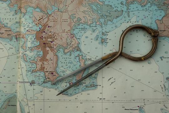
During the 19th century, the nautical document collection developed and diversified. The first publication of notices to mariners - our current AVURNAVs - dates back to 1818. By 1838, the Depot library already had 18,000 books. It was the setting up of a network of tide gauges by Antoine-Marie Chazallon that would add to this catalogue the tide directories, the first copy of which was published in 1839. In 1842, nautical instructions appeared and, in 1847, the coverage of the entire French coastline was completed with 1,044 original maps.
Attachment to the Navy in 1886
On 13 January 1886, the General Depot of the Navy was transformed into the Naval Hydrographic Service (SHM) by decree. It became headed by a Chief Engineer and was attached to the Naval Staff. In 1921, the International Hydrographic Bureau (IHB) was created on the idea of French engineer Renaud. In 1970, it became the International Hydrographic Organization (IHO).
In 1923, the Naval Hydrographic Service became the Central Hydrographic Service (CHS) under the Ministry of the Navy.
A 20th century of progress
As in many fields, the 20th century will be marked by profound technical developments, the two world wars will have left their mark. It was in 1945 that maps began to be printed in offset ( they were previously printed from intaglio engraved plates ). At the same time, radiolocation replaces visual positioning and the ultrasonic depth sounder replaces the plumb line for measuring depths. Gaining in accuracy, cartography will be changed to colour in 1970.

In 1971, on 25 May, the Service Hydrographique et Océanographique de la Marine (SHOM) was created. It was decentralised and set up in Brest. It was placed under the authority of the Chief of the Navy Staff and was given new responsibilities in terms of physical oceanography. In 1990, a Military Oceanography Centre (MOC) was created with the aim of improving the naval forces' knowledge of the ocean environment. The fields covered by the CMO are particularly vast: sedimentology, hydrology, gravimetry, magnetism, acoustics..
Technological revolutions
The end of the 20th century will see technology revolutionize hydrography once again. The use of multibeam sounders, satellite positioning ( GPS, Galileo.. ), spatial imagery, electronic mapping..
At the same time, SHOM is developing and extending its activities to meet the needs of new users and the challenges of the 21st century, risks of marine submersion, coastal protection and development, marine energies of the future..
Last major transformation in 2007. SHOM became a public administrative establishment (EPA) under the supervision of the Ministry of Defence, now the Ministry of the Armed Forces.
A virtual anniversary exhibition
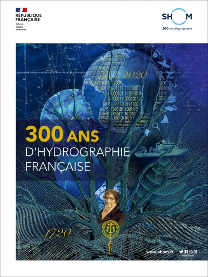
A virtual exhibition (link at the foot of the article) retraces these 300 years of cartography in the SHOM geo room. It is structured around 6 main axes:
- the hydrographic accompaniment to the exploration of the world,
- the safety of navigation,
- advances in science and technology,
- risk prevention,
- the blue economy,
- support to defence and naval operations.
Permanent partner of nautical users
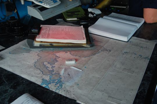
The Hydrographic and Oceanic Service of the French Navy is a permanent and discreet partner of the yachting world. It has constantly reinvented itself throughout its history, going from hand-drawn charts to fully computerised creation, to provide us with the most accurate vision of the maritime space we frequent in all circumstances. This vision is only precise thanks to the surveys carried out by the people working for SHOM in the field, on the one hand, and on the other hand by the feedback from all the users, yachtsmen, professional sailors or military personnel, because the sea is changing, the seabed is shifting and can, in some cases, move.
This is the point of keeping its on-board mapping as up to date as possible.
