iPolar, an application to calculate your polars.
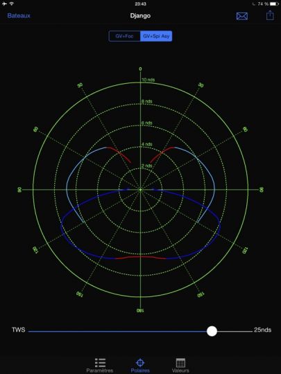
Polars represent in the form of a semi-circular diagram, the speed of a boat according to the direction and strength of the wind. There are 2 ways to determine them: spending very long hours on the water, with ideal conditions to define them empirically or using a software, which according to many parameters, will be able to calculate them. In general, the first solution is far from being funny and the second one requires very sophisticated computer programs like VPP (Velocity Prediction Program). The results are very important since they allow them to be used by the sailing federations for the classification of regattas in compensated time.
As you have understood, getting fleeces for your boat with the right set of sails is not easy and few boatyards or architects make them available to their customers. However, obtaining target values in order to fine-tune your settings is a very good way to progress.
iPolar is a small application for iOS developed by Olivier Bouysson. It allows, using only a few parameters, to calculate polars with its iPhone. HT length, mass, mainsail, genoa and spinnaker area are enough to calculate. Version 2 is available for iOS8, it brings a few new features, including the export of a CSV, TXT or POL by e-mail to allow the results to be reintegrated into a mapping or routing software. Note that iPolar is compatible with the Weather4D PRO routing module.
Weather4D PRO has also just been updated.
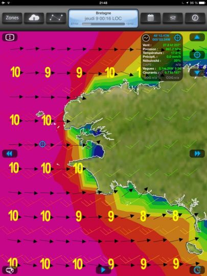
The application, also developed by Olivier Bouyssou has just been released in 1.4.2. No new features for the weather forecasting software, but compatibility with iOS8.
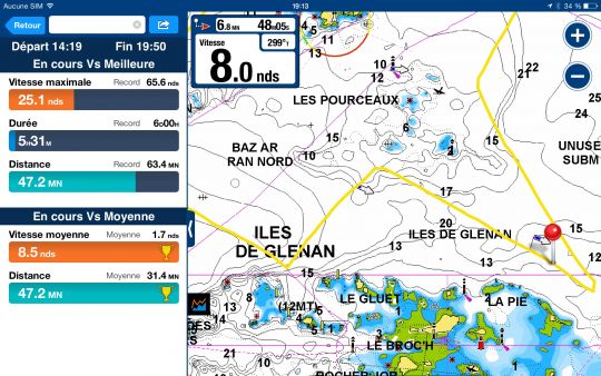
Navionics' mapping app also improves compatibility with iOS8
Navionics' mapping is slowly improving, although it still lacks some essential functions such as road management.
