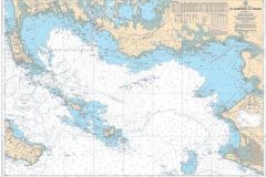
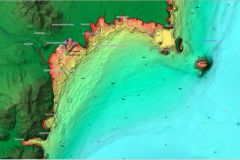
New enhancements to C-MAP charts enrich navigation in several European regions. These digital charts, indispensable for pleasure boaters and professional navigators, now include more accurate and comprehensive data for both inland and coastal waters.
Extensive coverage of inland waters and rivers
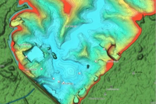
C-MAP has reinforced its coverage of inland waters, particularly in the south and east of France. This extension includes 58 new lakes, bringing to over 250 the number of water bodies updated for the year 2024. The river network also benefits from improved data on over 7,000 bridges and 1,000 locks, offering safer and more efficient navigation on French rivers and canals.
Optimization for the UK and Ireland
In addition to France, the updates also include improvements to shorelines and lakes in the UK and Ireland. Indeed, 25 new lakes have been added, along with updated information on coastal areas. These improvements are designed to enhance map accuracy, particularly for boating activities on lakes and rivers.
High-resolution bathymetry for Spain and the UK
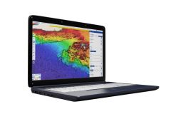
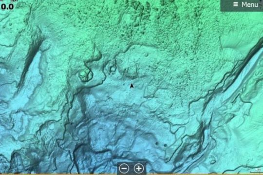
The Spanish and British coasts, including the Canary Islands, have seen their bathymetric surveys enhanced with improved definition. This high resolution allows better interpretation of depths and underwater relief, providing crucial information for navigators approaching coastal areas and tides. This improvement is particularly useful for navigation in maritime areas with highly variable depths.
Updated DISCOVER, REVEAL and X Generation cards
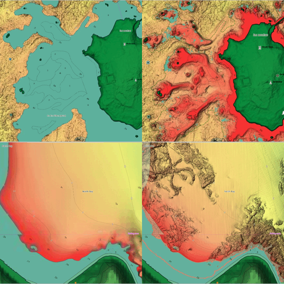
These new data will benefit users of the DISCOVER, REVEAL and X Generation charts. These three map ranges are distinguished by their visualization and accuracy options, including shaded relief representations that make intertidal zones easier to read. They are available for purchase, or as free updates for 12 months after purchase.

 /
/ 