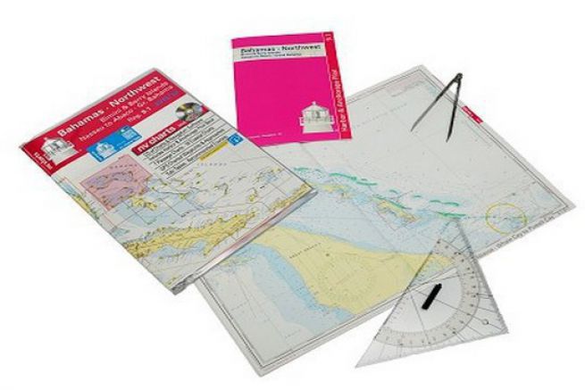
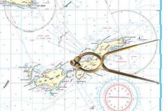
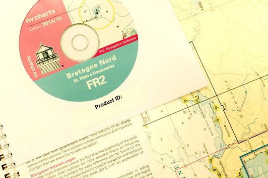
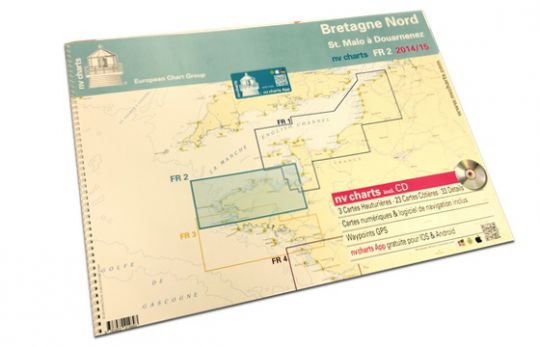
The pleasure of laying out a chart on the saloon table to dive into your next sail, to share good spots or to have an overview of an area is a pleasure that is lost with electronic charts. NV Charts had the idea, to stand out from its competitors, to offer a pack of nautical charts on three different media. " Originally, the paper chart was used a lot to find your way on the water, but today, sailors are increasingly using their tablets." In response to this, the German company has put together a package containing a set of paper cards, an application for tablet and cell phone and a CD-ROM . "When you buy our pack, you have three options for navigation. It's much safer: in case of battery failure, you can always use the paper charts."
A novelty on the French market
What distinguishes NV Charts from its competitors is that currently, " no one provides a complete package containing three ways to read the cards. We are the first to offer this in France." In addition, the coverage of NV Charts is much more extensive and detailed. " In France, it is the Shom that does the maritime cartography, but their maps are small and do not cover all the areas as you can do on a single map. So, you have to buy several maps against a single pack for us ."
Price/area coverage ratio, NV Charts offers about 50 paper maps, bound and at different scales, for a global price of 98 euros.
A complete and detailed map pack
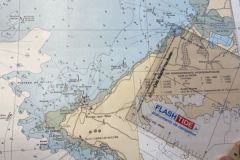
NV Charts proposes in a pack about fifty A2 size paper cards (42x59cm), bound by a metal spiral, which can be turned without constraints. The packs are delivered with a thick plastic sleeve to protect the cards from water splashes and dirt.
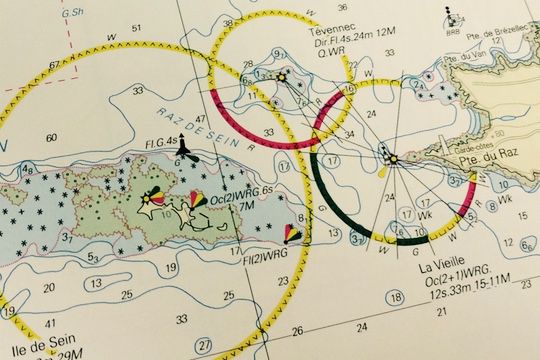
The maps are offered with different scales, from the wide shot to the harbor shot. " With the different scales, you can choose to define your path on a broad scale and then refine by choosing a smaller scale." Another advantage is that their graphics remain the same, regardless of the medium. Thus "you can look at the paper map and then continue on your phone or computer and easily find your way around since they are presented the same way."
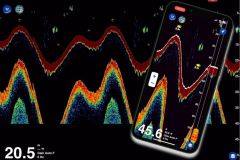
The mobile application is free to download and will include additional data such as currents and tides by next season.
Cards that are recognizable at a glance
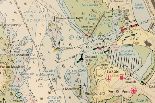
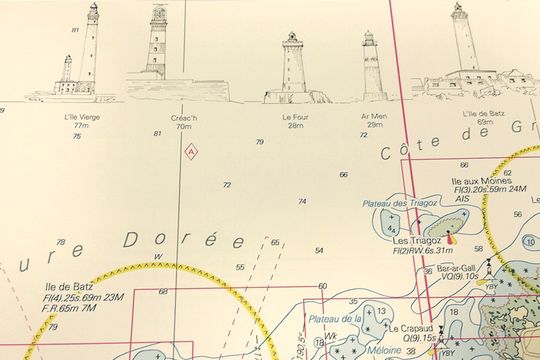
Based on the Shom maps, NV Charts are reworked by the mapping company to be easy to understand, clear and attractive. It's their trademark, so to speak. " On our maps, we use many colors. For example, to signal a shallow area, we use red to signal danger. The colors are used to warn, but also to make the maps attractive." Another feature of the NV Charts is the " These little drawings of lighthouses or towers make it possible to distinguish right away in the landscape what is indicated on the map. It's very important to get the information as quickly as possible so people can find their way around quickly."
35 years of experience in the mapping market
NV Charts has been a leader in Germany for 35 years and offers maps for other destinations: the United States, the Caribbean, Cuba, Germany, the Netherlands and a large part of the Baltic Sea with Poland, Sweden, Norway and Denmark. In France and for the moment, only the Atlantic coast is available, but it is already planned to map the Mediterranean. In the other countries, the company itself carries out its mapping, by probing and analyzing the seabed. For the moment, in France, the computer data comes from the Shom, but all the pages are reworked according to the company's know-how.
The French maps are grouped by region and for the moment " we offer the entire Atlantic coast, divided into regions that are the English Channel, North Brittany, South Brittany and the mouth of the Loire River to the Spanish border."
The SD card, new on the French market
NV Charts also offers on the French market, SD cards compatible with Simrad or B&G and Lowrance. This map covers the entire Atlantic coast, from the Belgian border to the Spanish border, for 98 euros.
The folios are distributed by FixMyBoat.fr on the net, in Uship stores, but also in specialized bookstoresâeuros¦
