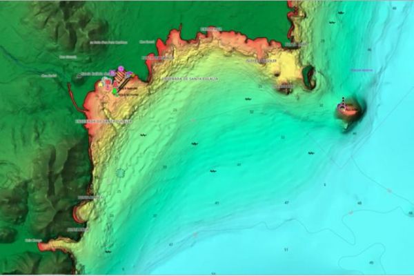
On May 1, 2024, in Viareggio, Italy, C-MAP announced a substantial update to its marine charts for Europe, promising significant improvements for navigators. This initiative mainly concerns inland water charts and European coastal relief, aiming to provide a more accurate and safer navigation experience.
Greater depth and detail on new maps
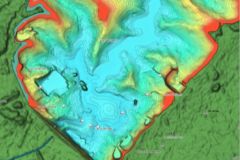
The update focuses on enriching bathymetry and shaded relief, particularly around key areas such as the inland waters of northern France and lakes. Over 200 new French lakes now benefit from improved bathymetric data, essential for recreational boating. These improvements facilitate the detection of underwater variations and enhance safety when navigating in shallow waters.
Integration and technological compatibility
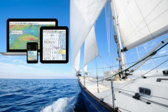
These revised boards are available across all C-MAP product ranges, including the Discover, Reveal and X Generation series, and can be integrated into the most popular marine electronic equipment. What's more, these updates are available free of charge to purchasers of the previous year's C-MAP products. Chart updating is simplified thanks to the X Chart Store Manager application, accessible directly from Simrad NSX chartplotters.
This update represents considerable added value for professional and leisure sailors in Europe. With widespread availability and easy integration, C-MAP consolidates its leading position in digital marine cartography, offering even greater accuracy and reliability.
Details of European mapping updates :
- Enhanced high-resolution bathymetry and shaded relief in selected regions of coastal Europe, including France, Italy, Spain, Portugal and Belgium.
- Improved inland water bathymetry and standard data in northern France and the Netherlands, including Canal Rijn, Nieuwe Rijn and others.
- Shoreline improvement and updating of over 6,303 bridges and 1,100 locks on inland waterways in northern France.
- Significant improvements to 230 French lakes, with new or improved shorelines and new bathymetric data, notably for the Orient and Auzon lakes.
- Standard updates, including up-to-date information on marinas and port plans, notices to mariners, the latest paper charts and ENCs from official sources. Standard updates apply to all charts, including the Max, 4D, DISCOVER, REVEAL and X Gen charts in the EMEA range.
