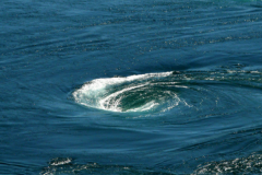
The tidal current... Unknown to most, yet it is the current of all currents, permanent. Whether or not there is wind, whether or not there is a swell, as long as the moon and the sun meet, the tide will come and with it, the current.
What is the tidal current?
Empirically, it is the manifestation of the tide on the water. It is the way in which sea water enters or leaves the foreshore throughout its cycle. This current evolves and changes, sometimes radically, during the same tide. However, except at the margin, it is the same every 25 hours or so. So at the same tide time (rising or falling), the current will be identical. Beware, not at the same human hour however ( for a good understanding of the tides refer to this topic )
This approach is only theoretical. Indeed, the tidal current is never alone. Like all marine mechanics, it is subject to the influence of wind, atmospheric pressure, offshore wind... And the resulting measure will never be the same, because the conditions will never be exactly the same from one day to the next.
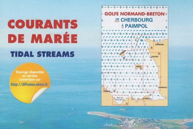
The tidal current chart is a set of works cut into sections, similar to our nautical charts. For the examples here, work 562-UJA (Golfe Normand Breton, from Cherbourg to Paimpol) was used. But rest assured, the charter and standards will remain the same, whatever your sailing area, as long as you use the SHOM editions.
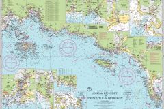
Less detailed, the cartridge present on our nautical charts allows to approach with a lower level of accuracy, the value of this current, zone by zone.
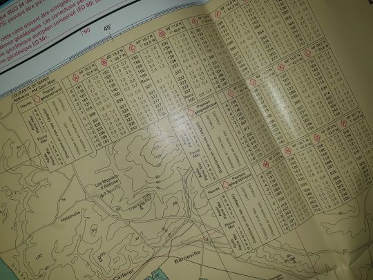
Before reading this atlas, he explains the timetable. A reference port is taken into account (in this case, Saint-Malo) and it is with regard to this port that the currents are drawn during the day. It is therefore important for the yachtsman to define the difference between this reference and his position. A phone call to the harbour master's office of your traditional port may be useful.
Finally, the book informs us that the currents exposed are average currents in a zone. Local specificities (channel, release of water from dams, etc.) can modify the content of these currents.
The legend of this document is very succinct and corresponds to its only use, to indicate the tidal currents.
Thus, the arrows on the maps in this document, the example of which is given above, signify the "pictured" direction of the current and its speed, depending on the thickness and length of the arrow line. The present details, in our case :
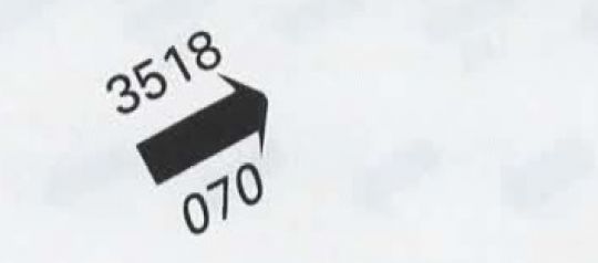
- The current brings the current to 070
- The current will have a speed of 3.5 knots for an average spring tide. (coefficient 95)
- The current will have a speed of 1.8 knots for a medium neap tide. (coefficient 45)
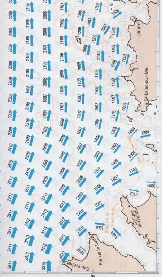
Each map (both the general and the details) is present 13 times, 6 hours before high sea, 5 hours before high sea... High sea, 1 hour after high sea, 2 hours after high sea... The reference is always high sea, so the central timetable to be considered is always that of PM.
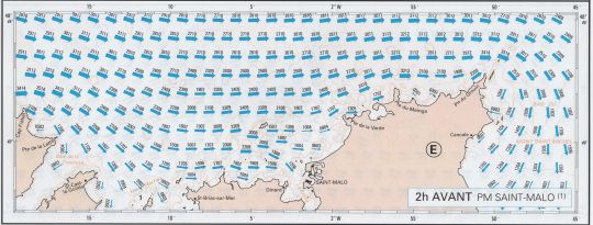
Two levels of detail are available, a map of the entire area covered, and details, sub-area by sub-area. The lack of detail indicates that there are few local specificities and that the overall mapping is sufficient.
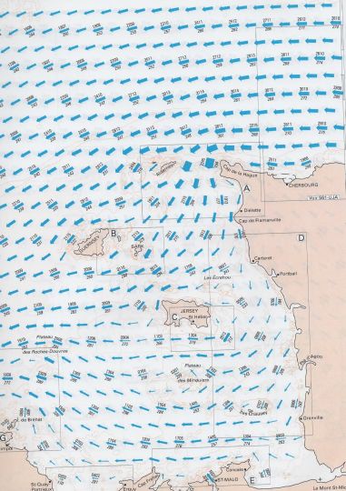
When used properly, the current map is a practical and easy tool for better control of navigation and comfort on board.
Don't deprive yourself, this book is worth about thirty euros and will often be useful when you start using it.

