

Which repository to give a hauteur??
For the proper understanding of a nautical chart, geographers and hydrographers have agreed on the same vertical reference called hydrographic zero or chart datum.
This common height reference is used to measure the depths at sea, which will then be plotted on a nautical chart. It is also this same reference that will be used for tidal predictions in specialized directories.
But there is another chart datum. It is reserved for the altitudes of the land that can be read on our nautical charts or IGN (land maps).
So on our nautical charts there are two reference lines for heights.

Tour du marégraphe de la Rance in Saint-Malo (France), built in 1844 and now used by the tidal power plant of la Rance
Depths at sea
The first reference line is the hydrographic datum (ZH) also known as chart datum. It only concerns what will be covered by water.
On the Shom documents, the hydrographic zero represented is close to the level theoretically reached by the lowest astronomical seas (a theoretical tide with a coefficient of 120).
Since Beautemps-Baupré in 1838 - the "father" of contemporary hydrography - the level of the lowest seas has in principle been that of French marine cartography.
We can say that in general we always have more water than the indication on the map. It will be enough to add the instantaneous tidal range to know the water level at the probe.

How to identify water levels on a carte??
On your nautical documents, the representation system is as follows:
If the number is not underlined, the probe is still below chart datum, so even at the highest low tide this probe will be covered with water.
If the number is underlined, it means that the probe is above chart datum. Depending on the tidal height - in particular - the probe will be covered or not.

Screenshot data.shom.fr
A universal system
Today, this system is universally recognized. However, until a certain period, on the nautical documents of our English neighbours, we could read a chart zero defined at the height of low water of average white water, i. e. a coefficient of 95.
Chart datum is not the same as land chart datum
The second reference line concerns everything that is never covered by water. This is called the geographical zero of altitudes. This reference is valid for all of France.
This fundamental benchmark was obtained by averaging water level observations made in Marseille between 1885 and 1897.

This fundamental landmark is still represented by a platinum rivet sealed in the building that still houses the tide gauge at Calvo Cove.
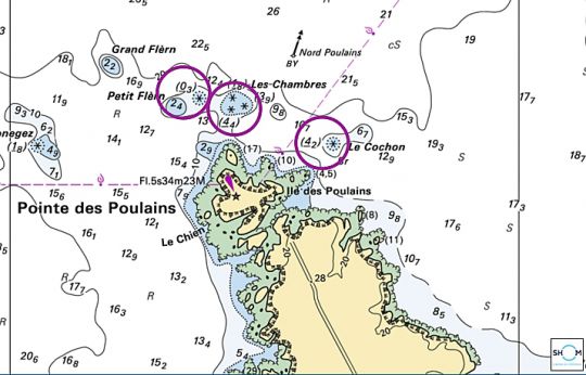
How to identify altitudes on a carte??
On your nautical chart, the representation of constantly emerging land is yellow/brown. Altitudes are not highlighted, nor are water depths below chart datum.

Screenshot data.shom.fr
What about lighthouses and ponts??
The height of a lighthouse does not correspond to an earthly altitude, it is important for certain sextant uses such as measuring a distance between us and a lantern.
The same goes for knowing if you can go under a bridge with your boat.
To calculate the altitude of a light as well as the clear height under a bridge, the reference will be the mean high water mark of the reference port.

Screenshot data.shom.fr
Chart datum elsewhere in the world
There are other definitions of chart datum that are sometimes still used in foreign countries:
- In Germany, these are the middle low-water lowlands of white water
- In the Netherlands, it is the average of the lowest white water seas of each month
- In the United States, this is the level of the average lower low water level
- In Indonesia, it is the average of the lowest white water seas occurring every six months
But since 1996, the International Hydrographic Organization (IHO) has recommended harmonizing nautical charts by adopting the lowest astronomical sea level (PBMA) as chart datum. This is the standard used in France for more than a century and a half


