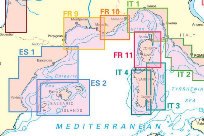
For the past 2 years, the German map publisher NV Charts has been offering coverage of the entire Atlantic seaboard. But for 2017, it announces maps of the Mediterranean coasts of France and Spain. Maps drawn internally from data provided by SHOM.

Available in a bound booklet in A3 format, each booklet comes with a code for loading digital maps. Thus the user can work classically on paper or use his computer or tablet to navigate. Each booklet includes about thirty paper charts with different scales from the general chart to the detail of each port. The booklets are delivered in a plastic pouch that protects the maps.

Last but not least, each booklet is offered at the very affordable price of 49.00 euros (paper and digital cards and their software).
Italy and Croatia should soon be proposed in the same format.
Spanish coasts
- ES1: From Cape Hollow to Cape San Antonio
- ES2: Balearic Islands
Côtes Française and Corsica


