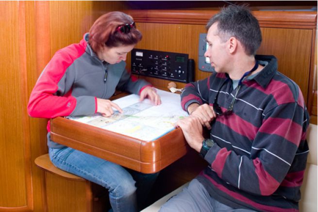
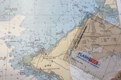
Much more colorful, with many easily interpretable symbols, the Navicarte charts are more accessible and less austere than the SHOM charts. Foldable, printed on waterproof paper, they can be found on many boats.
The regulation requires a card on board
The regulation requires to have a map on board, whether it is in paper or electronic format. Beyond the regulations, it is prudent to have at least the local map in paper format. I remember an outing on a boat accompanying a race starting from La Rochelle where the fog came to play the spoilsport. No map on board, nor any GPS. Difficult in this case to take a course, even approximate, to return to the portâeuros¦
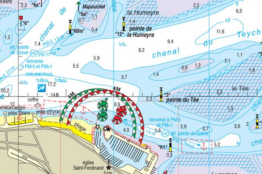
Navicarte: easy to read
On the Navicarte, the symbols used are representative. A red buoy is presented in red with its cylinder, a water tower has its real shape, the poles are poles. The reading is then immediate, especially for the non-initiated in navigation. In addition, the coloring makes it possible to clearly differentiate the zones. The land is green, the coast yellow and the sea blue for the shallowest parts (white afterwards).
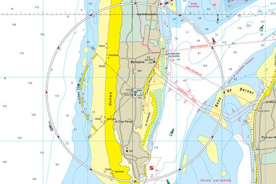
Fires as if you could see them
But it is especially on the lighting of lights or buoys that the Navicarte is the most efficient. Let's take the indication on a SHOM chart: FI(2) 10s 104m31 M. From this indication written next to the lighthouse symbol, you must understand that it is a flashing lighthouse with 2 flashes in 10 seconds located at 104 m altitude and a range of 31 nautical milesâ?¦ In short, gibberish for enlightened amateurs.
On a nautical chart, the same lighthouse will be represented by a circle on which the color and time of each flash is displayed. The range is added next to it. The farther the lighthouse reaches, the larger the circle. It's clear, readable and simple.
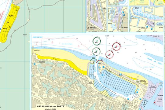
Port and detail plans
These maps are also enhanced with large-scale maps of the main ports. This allows you to have all the important information to navigate in the area on the same document. Information on tides, currents or wind patterns is also added.
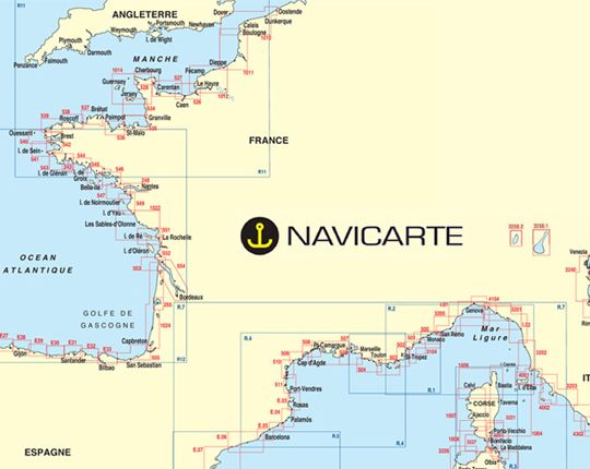
Navicards simplify navigation
Since 2011, the edition of Navicartes has been taken over by the company Topoplastic which ensures regular updates. To facilitate our navigation.

 /
/ 