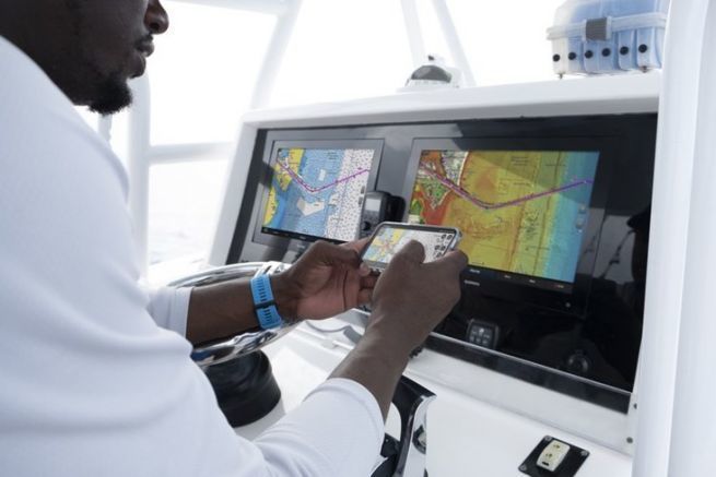
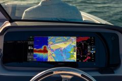
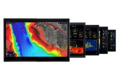
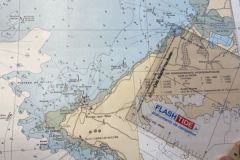
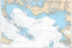
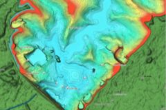
BlueChart mapping is dedicated for Garmin plotters. However, other competing brands (Simrad, Lowrance, Humminbirdeuros) use Navionics charts. From now on, all boaters will have the same user experience since both worlds will offer similar charts.
Thus, the division of the regions has been simplified and unified. There are now 2 map sizes and 2 levels of detail. Also, the colors used are now the same in both universes. The best of one is applied to the best of the other.
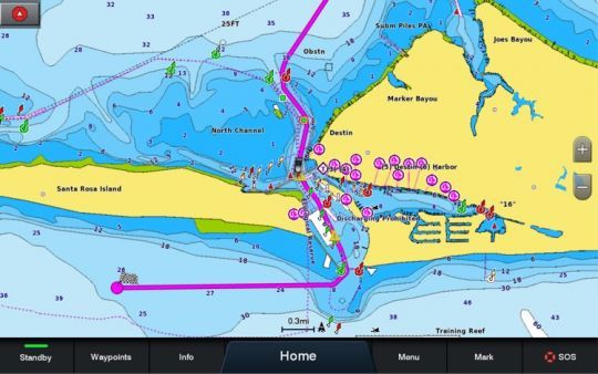
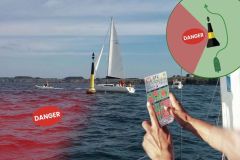
Among the innovations, the autoguiding function (now called Autoguiding +) has been improved. It no longer responds to a simple algorithm that calculates the route according to the boat's draft, but it also integrates the routes most used by users.
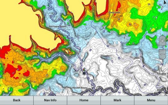
In order to improve the content, the charts will be updated on a daily basis both at sea and on inland waters. A one-year subscription is included with the purchase of the charts, which allows a cell phone to be synchronized with the chartplotters via the ActiveCaptain or Navionics Boating applications.
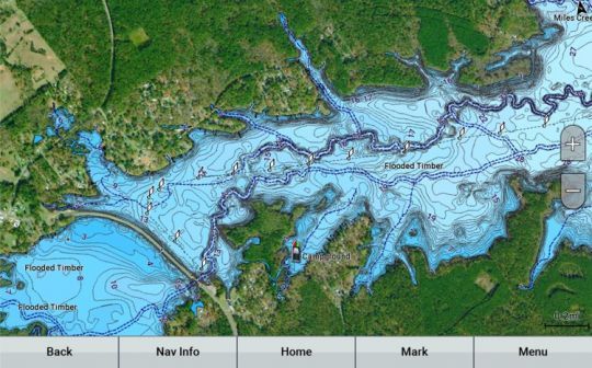
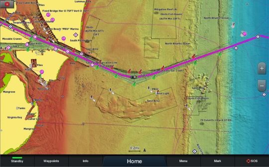
A high-end version, named Vision+, includes all the standard features of Garmin Navionics+, with the addition of relief shading, 3D views, high-resolution satellite images, aerial photos, etc. This version is a tool expected by fishermen.
The recommended retail prices range from 159.99 euros to 349.99 euros depending on the coverage desired and the version chosen. This price is the same whether you choose Garmin Navionics+ or Navionics+. For Europe, the availability is announced in March 2022.

