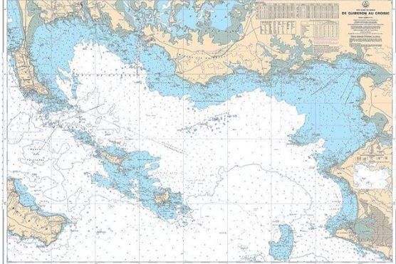
Discover the Mercator map
Navigating the seas and oceans may seem complex, but there's one thing that makes it all so much clearer: the Mercator nautical chart. Designed in the 16th century by Gerardus Mercator, this is one of the most useful charts for sailors. Why is it so useful? Because it simplifies the way we read routes and understand where we are, thanks to a very simple grid system: longitudes and latitudes.
Longitude and latitude bases
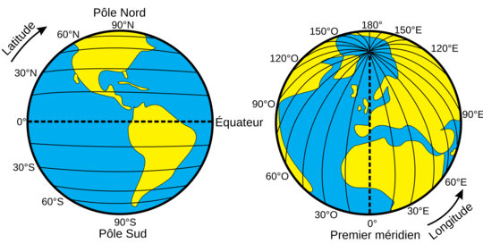
Longitudes and latitudes are like GPS coordinates on a paper map.
- Latitudes are horizontal lines that indicate how far you are from the equator. The equator is the "zero" line that cuts the Earth into two halves: the northern and southern hemispheres.
- Longitudes are vertical lines running from the North Pole to the South Pole. The "zero" line for longitudes is the Greenwich meridian.
These two types of line form a kind of grid that covers the whole earth, and each point on this grid has a unique address.
Why is the Mercator map so practical?
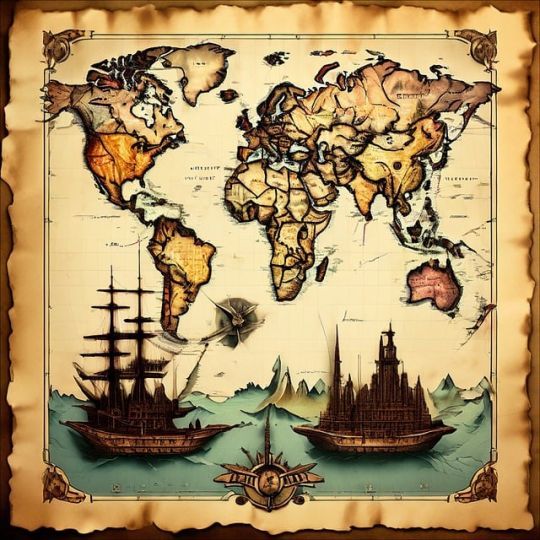
The Mercator map has a special feature: it transforms the Earth's spherical surface into a flat one. To achieve this, Mercator used a cylindrical projection. This means that the meridians (lines of longitude) are transformed into lines that are vertically parallel to each other. Similarly, the parallels (lines of latitude) also become parallel, but horizontal.
This transformation makes the map very useful for plotting routes, since a straight line on a Mercator map corresponds to a route on a constant heading, known as a rhumb line. However, you should be aware that this projection distorts distances. The closer you are to the poles, the larger the continents appear in relation to their actual size.
The importance of longitudes and latitudes for navigation
With a Mercator map, longitudes and latitudes become indispensable tools for finding your bearings. For example:
- If you know your latitude, you know how "high" you are on the Earth.
- If you know your longitude, you know your "east-west position".
For sailors, this enabled them to calculate their exact position at sea, using instruments such as the sextant or today's GPS.
Orthodromy and loxodromy: two ways of sailing
There are two main ways to draw a route on a map:
- Orthodromy: the shortest path between two points on a sphere. But on a Mercator map, this route appears as a curve.
- Loxodromy: a route at a constant angle to the meridians. It is represented as a straight line on the Mercator map. Although not the shortest route, it is often used for its simplicity.
In conclusion
The Mercator chart, with its system of longitudes and latitudes, is an indispensable tool for all sailors. By understanding these basic concepts, you can better appreciate the ingenuity of navigators past and present, and above all prepare for your future navigations.

 /
/ 