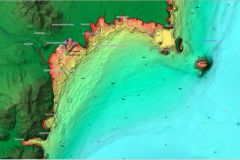
Mapping applications compete in imagination and ingenuity to try to attract users. This is usually to the benefit of these users but, unfortunately, to the detriment of the performance of mobile devices.
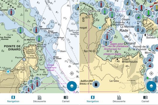
To attract us, they offer more and more options, more or less useful. It's up to the user to decide who will go further in these features and options, sometimes at the risk of losing the users.
Mapping application, period
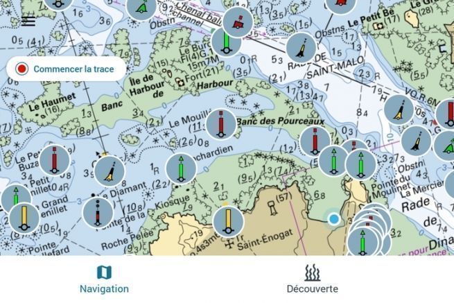
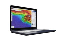
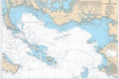
Proposed by the French Office of Biodiversity and the SHOM, Nav&Co offers ... maritime cartography. No information on the speed of the boat, no routing forecast or weather forecast. The only accessory function of this application is the tides, indicated on the basis of data from the SHOM.
Ideal complement to dashboards
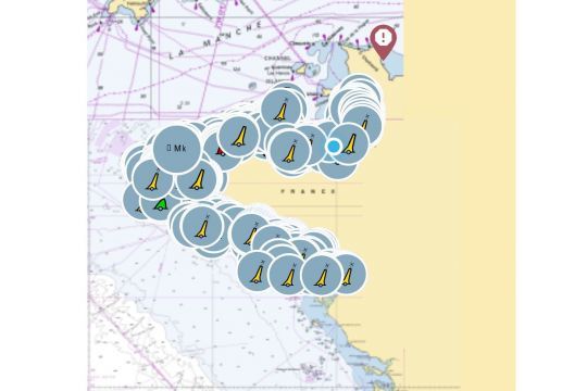
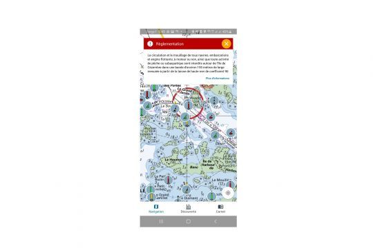
The application proposes to enhance the marine charts we have on board our boats with information about the ecosystems we encounter during our navigations. Marine animals, bird breeding areas or marine protected areas are not only indicated but also explained, in general and in detail, when the information is available. The strength of Nav&Co lies in the contextualization of the information. The geography of the area, the rationale for the classification or the measures to be taken to maintain good protection are clearly indicated and explained.
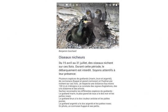
All of this is accompanied by actions to raise awareness of environmental preservation. For example, the information about a port proposes an awareness of careening and the possible pollution caused by a badly done antifouling.
Fun application to keep passengers occupied
Let's be clear, Nav&Co is not a navigation application. It will be the ideal complement to the cartography to keep the passengers busy or to bring a dose of intelligence to our movements at sea. It will keep children busy, for example, as they will be able to search for information related to a given navigation area. As they become more aware, they will become the spokespersons for the environment to the other crew members, including the skipper.
Two distinct operating modes
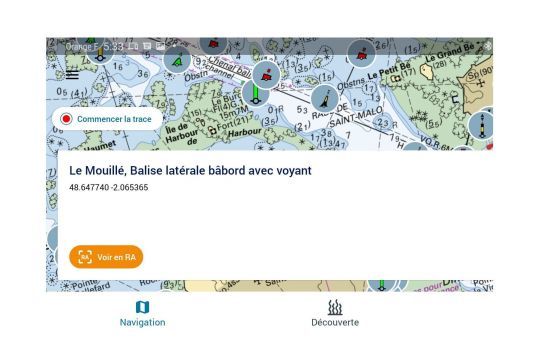
In "navigation" mode, Nav&Co will indicate the beacons and the barnacles. With an augmented reality function, the application will couple the GPS location and the phone display to try to show such a beacon or such a pitfall. The detection is quite effective and, even in motion, it is quite accurate. The navigation trace, if activated, remains recorded and can be reviewed later.
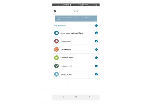
The discovery mode brings the ecological added value of this application. As you navigate, it will enrich the cartography of the elements encountered. To avoid overloading the display, it is possible to select only certain elements among the marine protected areas, regulations ..
Nav&Co is an application recommended by the National Observation System for the Safety of Nautical Activities as a method of combining safe navigation and respect for the environment, which are inseparable from each other today.
Convenient Offline Mode
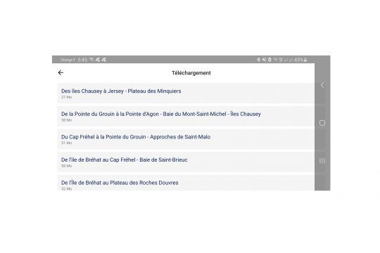
The proposed application has a convenient offline mode that allows you to download all the maps of the western part of France (from the Cotentin to the Loire) on your phone. The use of the application will be possible even if there is no GSM coverage.
Creating your boat profile
If, for the moment, the information required to create a profile is useless, the interest of creating an account and informing your boat could be imagined in the application's ability to contextualize the experience even more. For example, by inviting the owner of a motorboat to stay away from a nesting area so as not to scare off the birds that might be present.
Nav&Co is not, for sure, the best or the most original mapping application. It fills a gap, that of clear ecological information, at the moment you are in an area, for an even more eco-responsible navigation.
Technical data
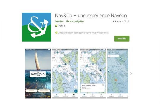
Available on Google play, Nav & Co is a free application that works only on Android. In its version 1.2.1, it requires an Android version higher than 6.0.
This application requires the following permissions to operate:
- Location
- approximate position (network)
- precise position (GPS and network)
- Photos/Media content/Files
- Read the contents of the USB storage device
- Edit or delete the contents of the USB storage device
- Storage
- Read the contents of the USB storage device
- Edit or delete the contents of the USB storage device
- Camera
- take pictures and shoot videos
- Wi-Fi connection information
- show Wi-Fi connections
- Other
- receive data from the Internet
- show network connections
- benefit from full access to the network
- prevent the device from going to sleep
- Google Play License Verification

 /
/ 