Specialist in marine cartography
The SHOM is the specialist in marine charts, and it is from this public administrative establishment that the majority of the data used by all French marine chart suppliers comes from. But the Hydrographic and Oceanographic Service of the Navy does not stop there, since they also offer many tools to help in the preparation of navigation.
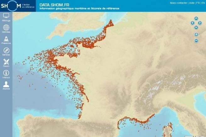
"Our core business is data. We have focused on applications for the web, particularly with our portal data.shom.fr, offering oceanographic models that can be retrieved in open data. We do not offer navigation software, we are in the idea of helping boaters to prepare their navigation. The applications use our digital maps that they integrate into their software." explains Nicolas Weber, in charge of public relations at SHOM.
Prepare your navigation well
And precisely, to prepare his navigation, the boaters can use the numerous data available for free (except nautiShom). They can be used before leaving to sail since they are more easily readable on a computer and require an Internet connection. The charts can also be easily printed and taken on board.
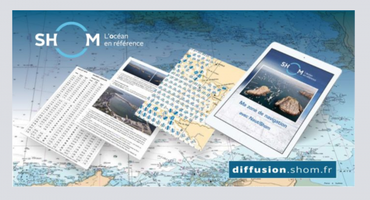
NautiShom Allows you to create a compilation of nautical documents: tide, sailing instructions, light book, currents.
"NautiShom is intended for those who want to do more advanced navigation and need to have documents to navigate safely according to their location. For a modest price of about 10 euros, they have access to PDF documents that can be consulted on a tablet and updated for a year." nicolas explains.
maree.shom.fr (free) : tide prediction service (more than 1000 ports in the world) one year in advance.
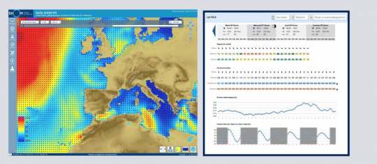
Oceanographic forecasts (free) : Users of data.shom.fr have a complete offer of coastal forecasts, from Shom and Météo-France models, useful for planning their professional or leisure nautical activities.
Oceanographic Bulletins (free): The oceanographic bulletin is a customizable PDF digital work that allows to gather automatically, in a single document, different products such as forecast maps, oceanograms, tide predictions on an area or a point of interest. The bulletin is built by the user via an interactive interface and sent by email according to the chosen parameters.
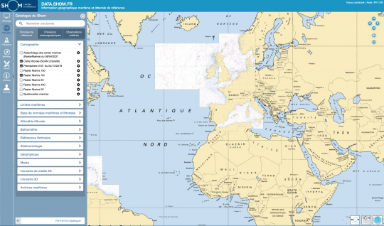
Data.shom.fr portal This portal gives access to the different maps available, to oceanographic forecasts and to draw your own maps. It is possible to obtain a lot of information (sea state, bottom state, waves, wind, sedimentology, currents, traffic separation devices...).
It is possible to play with the different layers, to superimpose them, to play on the transparency. The application is used a lot by the state services or the federations and associations organizing regattas.
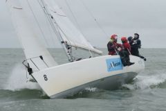
"Regatta organizers can draw their course buoys and waypoints on the map, print it and distribute it to all participants, explains Nicolas.
"These tools can be consulted for free, without subscription or registration. There is an educational aspect behind it. We want boaters to prepare their navigation. Sailing can be dangerous, the sea is not an easy environment. So we allow people to collect the information they will need to go sailing. We are a public service, and this is also our role", concludes Nicolas.

 /
/ 