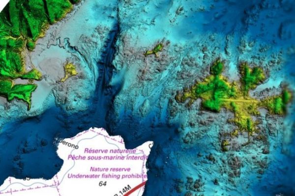
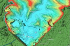
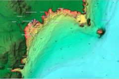
Litto3D is a cartographic tool made available by SHOM in free access. This product offers a mapping of coastal altimetry, whether on land or at sea for a large part of the French coast.
Land and sea relief
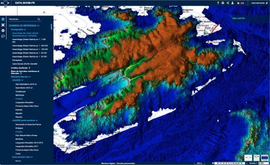
With Litto3D, you can walk on the map and discover both the land relief and the trenches and other underwater faults. This information is limited to the coast, and does not enter the land, creating sometimes a little frustration. But the drawing of the relief, whether it is terrestrial or marine, with colored areas and shading, gives a good vision even for the neophyte.
The details of the coasts will be appreciated by the fisherman who will be able to use it to locate faults, but also by the yachtsman who will discover the relief of a mooring.
Most of the French coastline
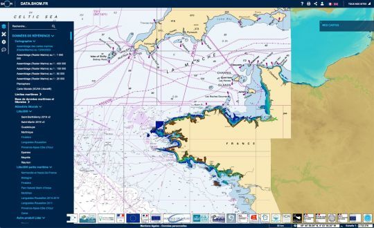
Discovering or rediscovering a place while walking through the map is always very poetic. This vision of the land and sea relief brings a new dimension to the chart, allowing the navigator of the moment to walk on the shores. Whether you are in Corsica or at the entrance of the Brest Narrows, this vision of the SHOM is a new virtual way to navigate.
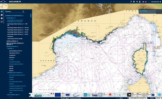
The only small drawback is that the numerous data and the calculation time to display them in color require a certain amount of time. The user must therefore be patient. This virtual visit is therefore to be reserved for good computers.
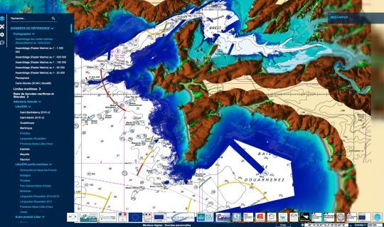
These data are available on the site www.data.shom.fr by selecting the maps in the menu "Reference data" > Coastal altimetry > Litto3D and Litto3D maritime part.
