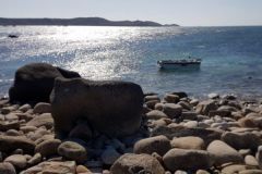
Naval architect and boat builder (he designed the Daydream series in particular), Patrick Dubois is now retired. His pleasure, sailing in the rocks of the Bréhat archipelago from Lézardrieux. From the waters of the English Channel where the tides have a big tidal range.
To pass close to the rocks, to enjoy the foreshore, this yachtsman would always have liked to take advantage of a drone that gives him instantaneous depths. So he thought about a digital tool that would give him these indications.
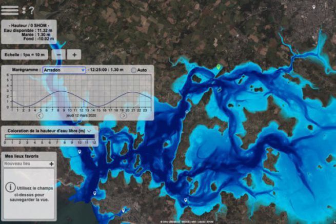
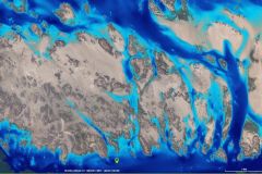
It has therefore just developed an online application based on terrestrial digital files. The DTMs (Digital Terrestrial Model proposed in Open Data) give depth indications more or less informed according to the zones. Probes can be found up to -20 m below chart datum. Coupled with a tide gauge, the application redraws the foreshore at any time of the tide. By playing on a palette of colours to indicate the available depths.
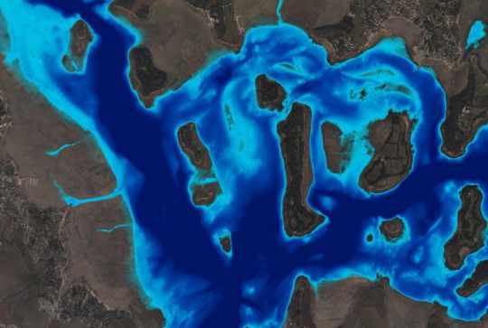
A base that works well
We are facing a first development version. The software still needs to be improved in terms of design and ergonomics. But it works! You can change the tide times by passing your mouse over the tide gauge to see the tide rising and falling before your eyes. The software works over 4 days of tide.
By moving your mouse over the map, you can instantly see the available water level. A minimum probe system (with a red tint) can also be affixed to the map according to your draught, to find out which way you can go.
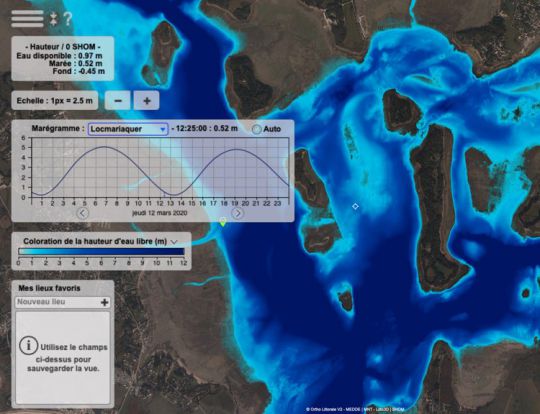
A playful animation
It is not a question of offering this tool to navigate. Indeed, insurance and liability problems force the designer not to offer this map for navigation. There is therefore no positioning system on it. The water heights for example are the result of calculations (with a certain precision) and do not take into account the wind or the atmospheric pressure (which can make the water height vary).
The playful side is really reached and playing to change the tides according to the hours with his simple mouse and see the changing landscape works wonders. We become real children again.
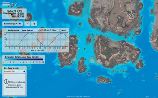
For all boaters and fishermen
Even if it has been imagined by a boater, this application is for everyone: kayak, paddle, fishermen on foot or by boat, and why not coastal longliners? Fishermen will find here information that is very relevant to their practice.
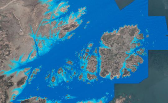
Depending on DTM coverage
Currently 7 areas are available, naturally in the English Channel and Atlantic (not much interest of this product for the Mediterranean). These areas are available according to the available DTM data. For the moment few are documented, as aerial photo campaigns do not cover much coastline.
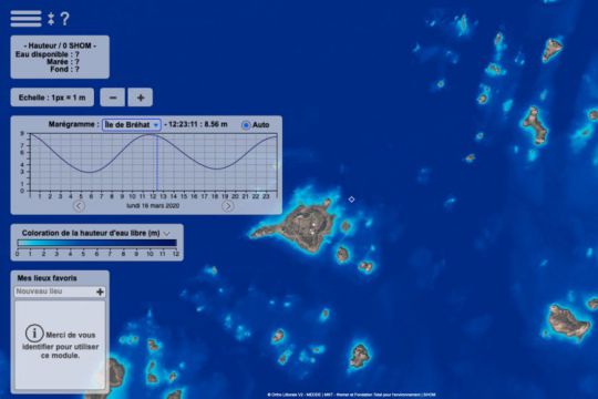
Subscription
To present the application, the area of Ile Verte (Bréhat) is offered. You will be able to play with the application without any reservation. For the other zones, a payment system is requested in order to participate in the development costs of this application and hopefully see it evolve soon.

 /
/ 