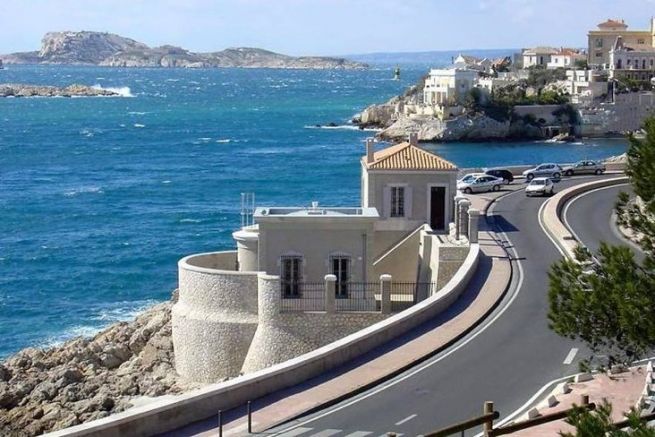
What is a tide gauge?
The tide gauge is a recording device used to measure sea (or river) level at a specific location over a defined period of time. The principle is simple, but recording and averaging a large number of data records over a defined period of time was a technological feat in its day. For the tide gauge not only records data (by plotting it on paper like a barograph), but above all is capable of calculating the average height of water. It has a sort of mechanical calculator built into the cylinder.
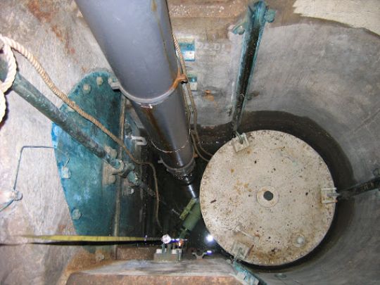
To do this, the tide gauge is connected by a cable to a float located beneath it in a vertical tunnel. It is the position of this float that indicates the water level.
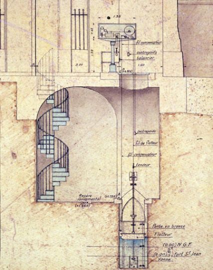
The Marseille tide gauge
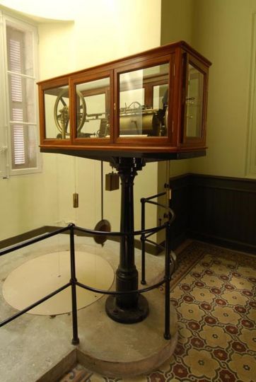
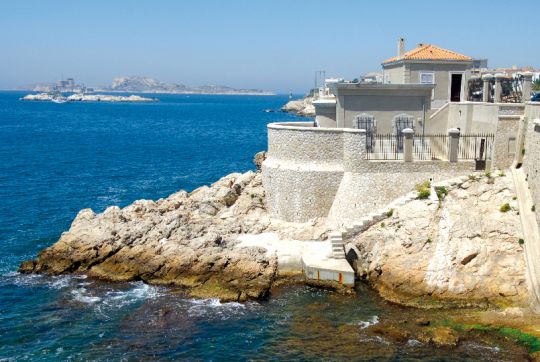
It's a small, unassuming building on the Corniche Kennedy, in the southern harbor of the city of Marseille. This location was chosen because the Mediterranean doesn't have many tides, and it was easy via the Rhone valley to bring up the altitudes throughout France. Tide gauge measurements began in Marseille in February 1885. After twelve years of observing sea-level variations, zero altitude was determined.
To materialize it, a physical point called the "fundamental marker" was sealed in the tide gauge premises at 1.661 m above the chosen zero.
This mean level has been adopted as the French reference zero altitude, and is used by SHOM for the calibration of our marine charts and by IGN for all land charts.
What's the point of this Hydrographic Zeropoint?
It is of immediate operational interest for :
- Hydrography (tide prediction, nautical charts, navigation safety, improved tidal models...)
- Environmental applications (prevention plans for foreseeable natural hazards, storm surge and tsunami warning systems, validation of climate models, etc.)
- Calibration of satellite-borne radar altimeter measurements, evaluation and validation of space altimetry results
It is also used for longer-term studies:
- Understanding the processes that generate variations in mean sea level (tectonics, subsidence, hydrodynamics, etc.)
- Study of the influence of the tide on coastal ecosystems
- Study of the secular evolution of mean sea level
At international level, for example, it is part of the GLOSS (Global Sea Level Observing System) program and supplies data to the PSMSL (Permanent Service for Mean Sea Level).
Is the sea level rising?
Yes, by cross-checking data from various French tide gauges, we can estimate the rise in mean sea level at Marseille since the end of the 19th century at 16 cm. This levelling value is consistent with that given by the GLOSS curve obtained from tide gauge measurements collected in other countries.

 /
/ 