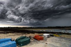
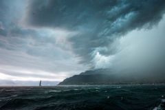
High clouds (6,000 m and over): messengers of change
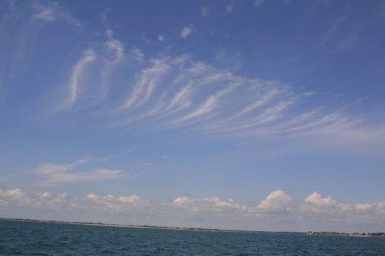
High-altitude clouds are composed mainly of ice crystals. They are often the first indicators of a change in the weather.
- Cirrus clouds: these white filaments high in the sky are the first signs of meteorological change. When they appear in large numbers and thicken, it often heralds the arrival of a warm front within 24 to 48 hours. For sailors, this is a signal to watch out for, especially before a crossing.
- Cirrostratus: A milky veil that gradually covers the sky, often accompanied by a halo around the sun or moon. This phenomenon is due to the refraction of light by ice crystals. When it spreads, it generally heralds a disturbance accompanied by precipitation within 12 to 24 hours.

- Cirrocumulus: Small white flakes arranged in banks, these clouds give the sky a dappled appearance. They're often referred to as "musty skies". Their appearance may precede a deterioration in the weather, but if the wind remains stable, they are not necessarily cause for concern.
Medium clouds (2,000 to 6,000 m): signs of weather evolution
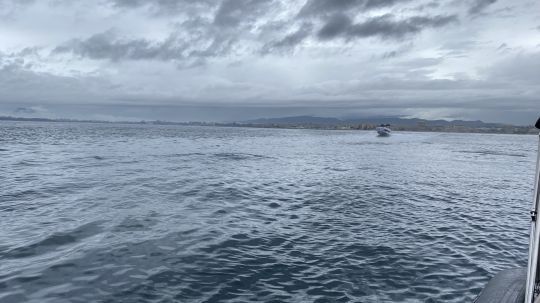
These clouds can be made up of water droplets or ice crystals, depending on the temperature. They are often the harbingers of approaching weather changes.
- Altostratus: Thick, greyish cloud mass masking the sun, but not casting a strong shadow. When these clouds settle in, continuous rain is often expected in the next few hours. This is an important sign for sailors, who need to make sure they're on the right course and check their boat's watertight integrity before a possible disturbance.

- Altocumulus: Pebble-like clouds, often arranged in parallel lines. They are a sign of atmospheric instability, and may precede the arrival of thunderstorms if the wind strengthens and shifts. If you see them while sailing, be sure to keep an eye on the weather and anticipate changes in wind conditions.
Low clouds (up to 2,000 m): carriers of precipitation and mist
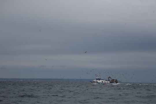
Low-level cloud formations have a direct impact on navigation conditions, notably by reducing visibility or bringing precipitation.
- Stratus: Uniform grey cloud resembling high fog. It can considerably reduce visibility, which is dangerous at sea. If you're on a coastal approach, radar and navigation lights are essential.
- Stratocumulus: sheets of dark or light clouds forming large rolls. They generally herald overcast but stable weather. If the wind does not strengthen, these clouds do not bring significant precipitation.
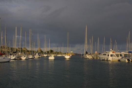
- Nimbostratus: Large, dark, thick cloud mass, heralding continuous rain or snow in winter. These clouds are often associated with depressions and sustained winds. At sea, they generally imply a lasting deterioration in the weather.
Vertical-developing clouds: watch out for squalls and thunderstorms!
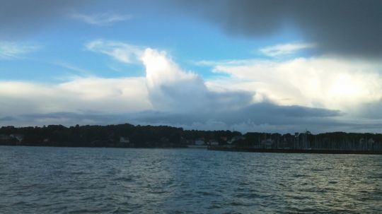
These clouds are the most dangerous for sailors, as they can generate violent phenomena in a very short space of time.
- Cumulus ? : Thick, white clouds with a horizontal base. Fair-weather cumulus clouds are harmless, often appearing in the middle of the day before disappearing in the evening. Darker, more developed cumulus clouds, on the other hand, can herald growing instability.
- Cumulonimbus ??: The cloud to fear at sea. These veritable cloud mountains, recognizable by their anvil-shaped tops, are synonymous with thunderstorms, squalls and strong winds. They can generate gusts in excess of 40 knots, heavy rain and sometimes even hail. For a sailor, the approach of a cumulonimbus requires an immediate reaction: reduce sail, check lifelines and prepare for a sudden change in conditions.
Anticipate for better navigation
Cloud-watching is a valuable skill for any yachtsman or skipper. At sea, where weather reports are not always accessible, looking up at the sky helps you anticipate and adapt your navigation. Learning to recognize these formations and understand their significance can avoid many unpleasant surprises!
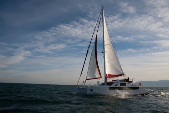
Sailor's tip: When sailing both inshore and offshore, always combine cloud observation with barometer and wind readings. Rapidly falling pressure combined with the arrival of high clouds should alert you to a probable deterioration.
Clear skies don't always mean stable weather, but a sky filled with specific clouds can be the harbinger of a change that any good sailor will know how to anticipate.

 /
/ 


