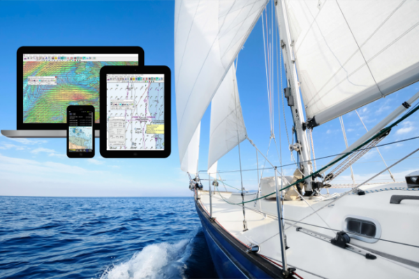
Intuitive, configurable software
Based in France, in Cestas near Bordeaux for over 20 years, ScanNav specializes in navigation and cartography software solutions. Around its ScanNav software, designed to meet the needs of both yachtsmen and professionals, the company has developed a comprehensive, scalable range of products for the sailing world.
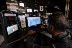
Intuitive and user-friendly, ScanNav lets you prepare and monitor your navigation in real time, including all safety and performance criteria, and analyze previous navigations to refine performance criteria or simply view past navigations.
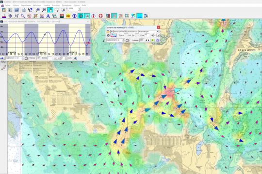
All the tools available to prepare your navigation, such as waypoints, routes, danger zones... are included in the basic version. Modules such as weather (grib), currents and weather routing are available as optional extras.
For effective navigation, ScanNav is compatible with all GPS and other instruments connected via NMEA 183 or 2000, as well as other more specific interfaces (e.g. internal GPS). Its NMEA outputs also enable it to interface with autopilots or repeaters from various brands.
The AIS module lets you view boats and manage anti-collision alarms. It can also interface with ARPA (radar targets) and DSC (Digital Selective Calling), including a number of advanced functions specific to ICOM VHFs.
All these decision-support tools, tailored to the real needs of sailors, together with numerous safety-related functions (MOB, AIS, alarms), guarantee safe cruising and sailing.
All you need for routing
Routing is based on weather and current information, taking into account the engine (routing sail only, mixed sail and engine, or engine only), coastline contours, danger zones, avoidance of zones where the wind or swell would be too strong, as well as limit angles for upwind and/or broad reaching to avoid uncomfortable points of sail (too close-hauled or downwind).
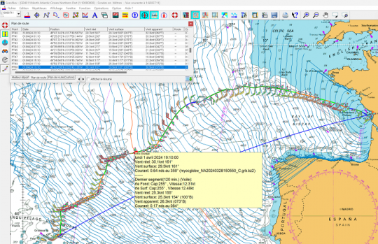
ScanNav also hosts a Grib file service for both weather and currents, based on data from renowned weather services such as MétéoFrance, Copernicus, NOOA... Access to this service is included with all Grib and/or current licenses. All external sources in Grib format are also supported.
A new version to come
The forthcoming release of version 24.0 will bring a number of new features, including a new tracking service with the following main functions:
- send complete trace with all details and periodic log points
- send information such as routes, waypoints, danger zones...
- visualization with mapping on a dedicated web page that can be customized for each user.
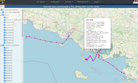
This new version will also bring major enhancements to existing functions, including KML/KMZ export, Nmea 2000 instrument connectivity, and various other minor improvements.
A wide range of maps
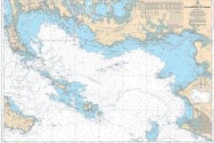
ScanNav also offers high-quality cartography based on 3 standards:
- Official ENC mapping these SOLAS-approved vector charts come directly from the various Hydrographic Offices. As a Primar distributor since 2006, ScanNav was the first to make ENCS available to pleasure boaters, while also targeting the professional market through several key accounts. The ScanNav team has many years' experience in both technical and commercial matters, and can provide you with expert support in this area.
- SnMap vector and raster mapping : This is a very high-quality offer, created by ScanNav exclusively from hydrographic service data, updated several times a year, and at a very affordable price. The offer is available in vector and/or raster format, depending on coverage.
- Navionics cartography these are maps published by Navionics. They are regularly updated with new data and offer worldwide coverage. Distributed on SD/MSD media, you can use the same map at no extra cost on your compatible chartplotter and ScanNav software.
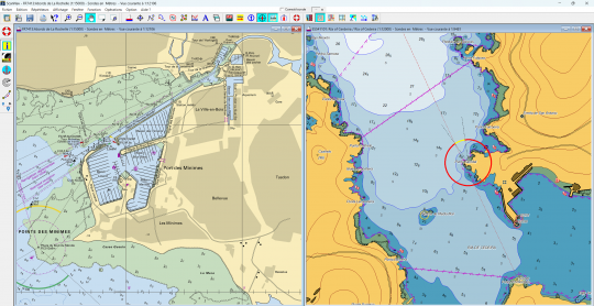
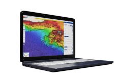
In addition, you can overlay satellite or aerial images of various types with adjustable transparency, providing additional support with a single click.
Different solutions for testing the ScanNav environment
The software is available as a free download, with the option of obtaining a trial license to access all its features before deciding to purchase.
Companion a simplified version of ScanNav, is now available for Android. Initially intended as a complement to ScanNav, the software is free of charge. Users who already have SnMap raster maps for the standard version can use them free of charge for Compagnon. But it can also be used independently of ScanNav by purchasing the maps.

 /
/ 