Do you want to get away from it all, to sail in the sun, to enjoy quiet anchorages and welcoming marinas? There are many criteria for choosing a sailing area. But have you thought about everything? The most beautiful sailing areas can be seen differently with the European Commission's European Atlas of the Seas.
Navigate in a quiet area
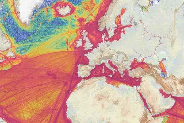
Are you looking for a less crowded sailing area? With the help of the maps on the maritime traffic data, you can choose a quiet place.
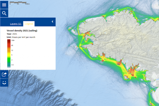
Sailing in warm waters
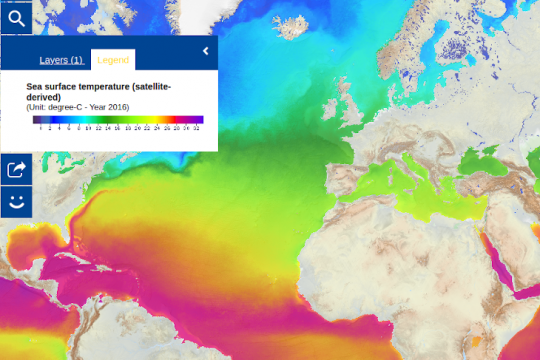
To choose water that is always warm, the surface water temperature maps will help you.
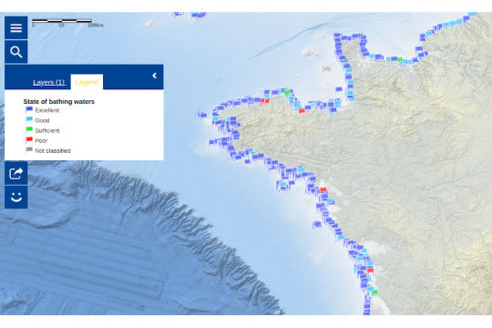
In this case, it may be advisable to also consult the bathing water quality map.
A place without pollution
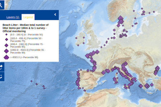
Looking for a place without pollution is a challenge today. However, it is possible to find out where the most litter is concentrated. A map allows you to visualize the volume of marine waste per beach and per year.
Attractive coastlines
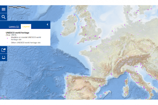
To find activities in between sailing, it is worthwhile to consult the map of the location of UNESCO World Heritage maritime and coastal sites to visit in Europe and around the world. There you can learn more about history and travel back in time to understand societies and the rich legacy they have left behind.
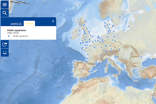
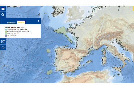
The map of public aquariums can also be an option or the Natura 2000 areas.
A safe navigation area
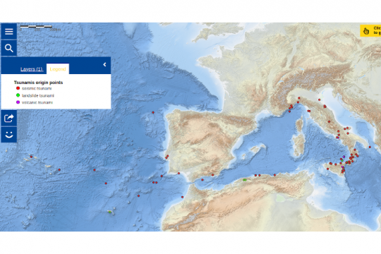
Sailing is never truly risk-free, but it is possible to avoid going with your boat to known tsunami areas.
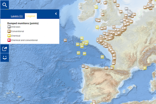
However, it will not be possible to avoid underwater ammunition dumping areas. Indeed, memories of World War II and the post-war munitions disposal policy, our coastal waters are filled with conventional munitions, but also with chemical weaponsâeuros¦
And for more maps and information, visit the European Atlas of the Seas website.
