Every week, we present you with a question about your boating license. Whether you want to validate your knowledge or discover new and unexplored areas. This week, we tackle a question on buoyage and cartography.
Landmarks, a useful navigation tool
There are many different markers at sea, and we're more used to seeing colored buoys or turrets, green and red for channels, yellow or black for cardinals and other special markings. White is less common. However, it is used for landmarks, which are used to position oneself on the map, and more often than not to take bearings. With GPS, the use of landmarks is less common, but when electronics are lacking, they can be very useful.
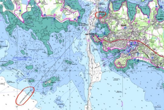
Lining up for a tricky pass
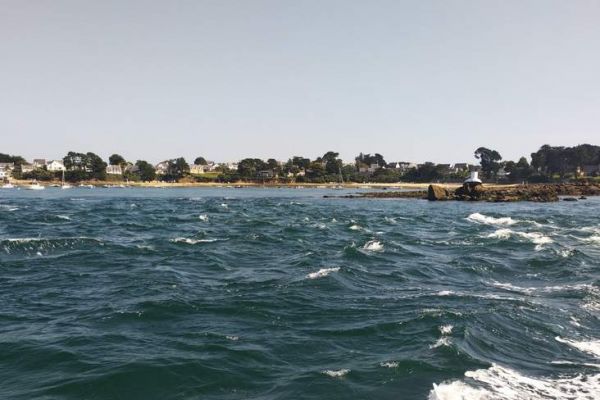
In our case, it's the Faucheur, a landmark located in the Port Navalo Narrows, at the entrance to the Gulf of Morbihan. As is often the case, it is only useful in conjunction with another prominent feature of the landscape, in this case the tower on the island of Berder. A glance at the nautical chart will show that by aligning the two elements at heading 41°, the boat will be able to enter the Gulf of Morbihan via an alternative channel to the main one, slipping in to the west of the island of Méaban.
If, once you've reached the distance of the photo, answer C could be relevant depending on your artistic tastes, as the alignment is no longer useful, the right attitude is that of answer D, even if you should have studied the card further in advance.
