Rather than blindly relying on the sententious words of old-timers in caps who watch the water rise while stuffing their hands in their pockets, it is preferable to refer to the reliable measurements made available on the Vigicrues website. There is an interactive map of France that allows you to follow the ratings and curves of each watershed. You will thus know if the trend is upward or downward.
A map of the basins
The Vigicrues website gathers data from measuring stations located along the main rivers. The home page opens on a map of France that uses the usual four-color vigilance code: green, yellow, orange and red. A click allows you to zoom in on the watershed you are interested in. Remember that a watershed is made up of all the tributaries of a main river.
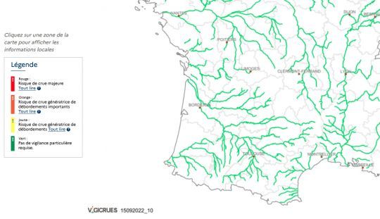
Reliable measurements
Once this one is displayed, you can point to each measuring station to display a table of ratings or a curve reflecting the current situation. From these curves it is relatively easy to extrapolate the evolution for the next hours or days. Of course, a good experience of the concerned waterway allows to refine the reading and to better estimate the speed of propagation of the flood wave.
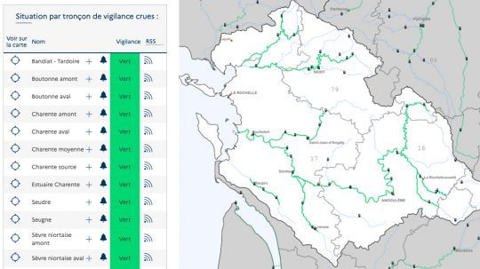
A reading to be weighted
It is easy to understand that one should not limit oneself to reading the levels at the place where one is located. A rise upstream will inevitably be reflected downstream, while a rise downstream can create a backwater that will slow the decline. It is therefore important to understand the topography of the river you are interested in, and to take into account the rainfall. In times of warning, a bulletin helps with interpretation.
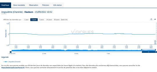
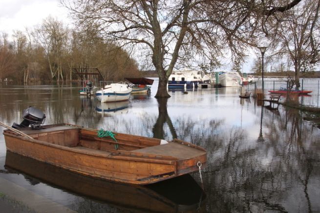
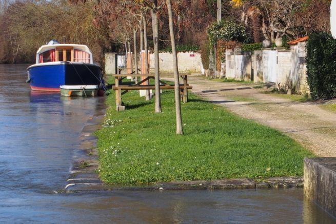
In addition to noting the reaction of the river in relation to its tributaries and the propagation times, it is recommended that you take reference marks according to your own benchmarks: the edge of the dock or sidewalk for example. This will allow you in the future to foresee the consequences of the rise on your direct environment and not to forget the boots if necessary.

 /
/ 