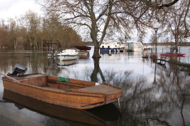
Before being waterways, our waterways are first of all rivers, alive and subject to climatic hazards. To react in the best way, it is important to think in terms of watershed, that is to say to look at the hydraulic network which converges with the concerned river. For this, experience is useful, but not as much as the governmental site Vigicrues, which offers a valuable forecasting and prevention tool.
A global vision
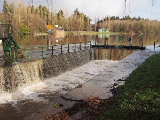
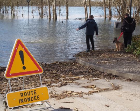
Although canalization has made it possible to regulate the levels and flows of natural waterways, nature sometimes takes over. The waterway is said to be "in flood" as soon as navigation becomes problematic, without even mentioning overflow. A flood is not limited to a one-time increase in water level. The conditions may still seem manageable, while the swelling of the tributaries prepares for a significant rise that will make navigation difficult or even dangerous.
Warning signs
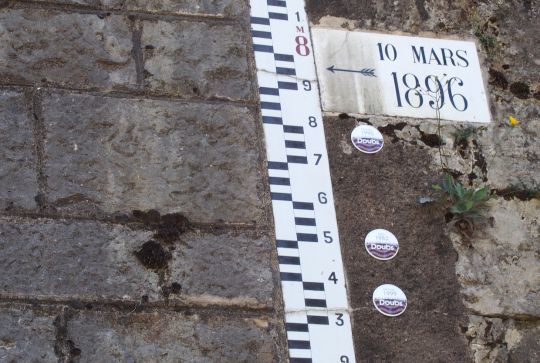
An acceleration of the flow, a rise in water level, but also water that is loaded with sediment are signs that are not mistaken. If there is a flood scale nearby, its reading is a good indication. To confirm your observations, the best thing to do is to call the navigation service or a local rental company. They follow the water level variations with a maniacal attention.
What do the rules say?
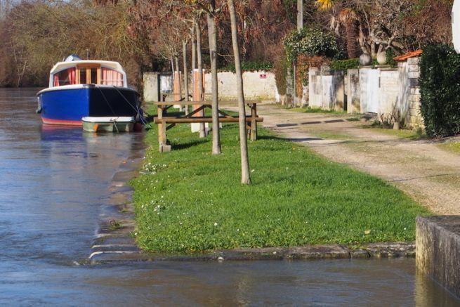
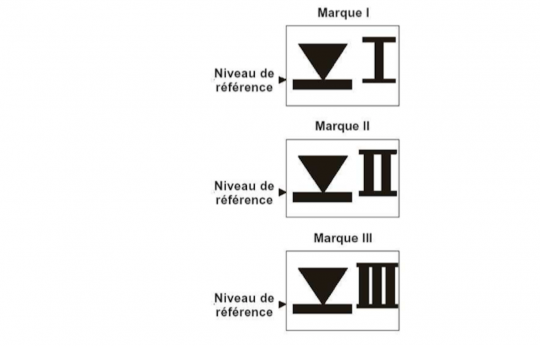
The warning levels are mainly for landlubbers. Long before they are expected, navigation structures will be submerged, the current will be strong and the risk of damage from a floating object will be increased. The Special Police Regulations for each waterway sets a threshold above which it is no longer possible to navigate. Sometimes this level is materialized on the shore by PHEN signs indicating the Highest Navigable Waters. When they have their feet in the water, it is better to have your boat in a safe place.
Each river has its own rhythm
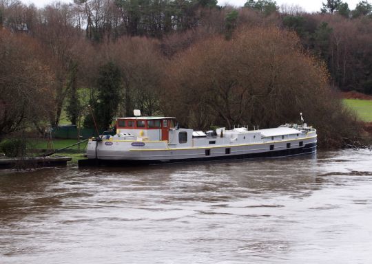
It is of course necessary to take into account local characteristics: steep slope and deep valley or low and open banks which allow a natural flow, number and importance of tributaries... The waters of a river bordered by plains will rise less quickly than those of another enclosed between two cliffs. Indeed, the water will be able to spread out, flooding the riparian meadows but slowing down the flow and limiting the rise of the level.
Some useful definitions:
- Stretching minimum flow of a river during low water periods.
- Watershed this is the geographical area of water supply of a river including all its tributaries.
- Outlet the most downstream point of a river system through which all runoff from the watershed passes.
- Minor bed ordinary bed of the watercourse. It extends from the low water level to that of frequent floods.
- Major bed the geographical area that includes all low-lying areas on either side of the minor bed. Its limit is that of the maximum probable flood.
- 100-year flood event with a one in a hundred chance of occurring during the century.
- Logjams flooding: accumulation of waste and materials carried by the flood and which can form dams holding back water or on the contrary, releasing it suddenly.
- PHEN highest navigable waters. Water level marks
- RPP the Particular Police Regulations specify the height above which navigation is no longer authorized.
- Vigicrues : governmental site of alert and follow-up of the floods
The governmental site Vigicrues allows the monitoring of a flood episode basin by basin. As soon as a significant rise occurs or before undertaking a navigation, it is prudent to refer to it. It is easy to understand that if the rise is confirmed upstream, the flood wave will spread downstream and that it is better to watch your moorings.
