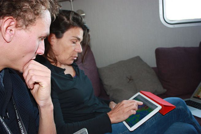
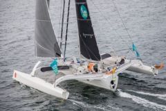
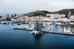
With 4 days to go, we met Karine Fauconnier, router of the Multi50 Arkema and her skipper Lalou Roucayrol Find here the interview with Karine Fauconnier conducted before the start of the Transat Jacques Vabre 2016 - the job of router.
A very disturbing cyclone
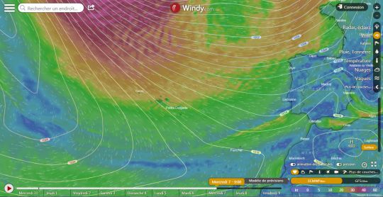
There is the return of Cyclone Oscar, which is seriously disrupting the general situation. It is a cyclone that was born in the tropical zone and is now returning to Europe and is shifting our classic low pressure system. We see him quite valiantly now in the middle of the Atlantic, off the Azores.
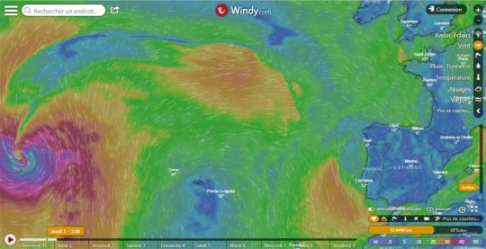
Hurricane Oscar on the left on the Atlantic map Wednesday evening, October 31
"He's a bit of a mess," Karine admits, "because he's coming very hard and even if he doesn't come to impact us directly, he's going to create himself along the fronts of this depression of secondary minima[NDLR small secondary depressions]. This kind of phenomenon is created quickly, without being able to predict at what level on the front."
Two opposite models for the first 2 days of racing
For the first two days of the Route du Rhum race (Sunday 4 and Monday 5 November 2018), the forecasts in the European model are opposite to those in the American model. It's not easy to do a routing under these conditions!
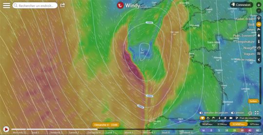
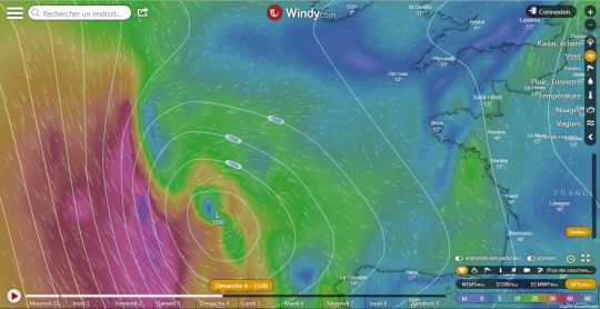
Forecast of the European ECMWF model Sunday, November 4 at 15:00
Based on the European model (ECMWF), the riders will have to pass the low positioned at the exit of the Channel, a little like crossing a front: the start of the race will be fairly close hauled (strong wind) and the riders will have to pass south of the low pressure centre when entering the Bay of Biscay.
Forecast of the American GFS model Sunday, November 4 at 15:00
On the contrary, the American GFS model positions the centre of this depression much further south, near Cape Finisterre. With this weather situation, the start of the race would be downwind in light winds and the competitors will have to round the depression from the North
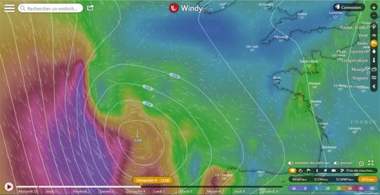
Still in this hypothesis of the low pressure system placed fairly low, the rest of the race would become much more windy with winds between 50 and 60 knots (the purple colour on the map), "but it's downwind", says Karine...
Awaiting a more reliable forecast
Before being able to do a routing, the models must therefore agree on the evolution of these secondary minima that are created - there may be 2, more or less south..
Ideally, the situation should evolve towards the forecasts of the European model, there would be a front to spend in the night from Sunday to Monday, "not very funny, but the riders know how to do. In this situation, you have to make a round back," says Karine. This would allow them to descend quickly behind the front, in a crossed and "boring" sea and to leave the Channel quickly. It will still be necessary to pass very close to the eye (depression centre) while remaining cautious, as the gusts can be very strong. "This depression remains a somewhat tropical and very unstable system."
The rest is much clearer
However, after Tuesday, November 6, 2018, the models agree. The situation is clearer. Depressions are placed in the same place, regardless of the model.
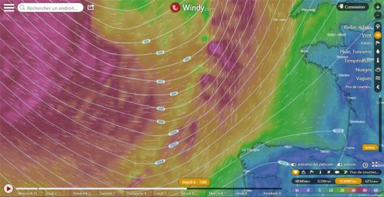
Forecast of the European ECMWF model Tuesday, November 6 at 7:00
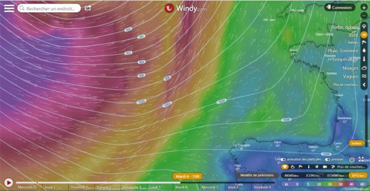
Forecast of the American GFS model Tuesday, November 6 at 7:00 am
The wind is more or less strong depending on the models, but this enormous depression which leaves no escape is present on both models. Fast boats will already have passed Cape Finistère (Multi 50 and Ultimate), but this is likely to be problematic for the Class40, the older IMOCAs and the Rum Classes, which should sail in very strong conditions.
From Wednesday onwards, the trade winds route opens up
Then, as the depression descends, the fleet is likely to hit a front before leaving for the trade winds.
