How do you define tramontaneâeuros?
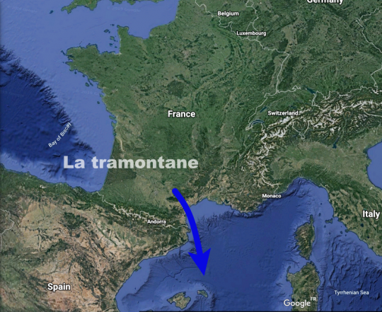
The tramontane is a regional wind. It blows over Occitania and more particularly Languedoc-Roussillon.
This north to north-westerly wind accelerates in a corridor created by the Pyrenees to the south and the Massif Central to the north. The bottleneck formed by these mountain ranges creates a venturi effect that increases the force of the wind tenfold.
Tramontane through history
The roots of tramontane come from the Latin transmontanus (Gaffiot dictionary) meaning "beyond the mountains", in reference to its mountainous and polar origins. As early as the end of the 13th century, the word is used in an account by Marco Polo.
Later, in the western Mediterranean, the name tramontane was given to the North Star, because like the star, it indicates north. By contrast, the expression "perdre la tramontane" ("to lose the tramontana") was coined, meaning to lose one's bearings, or to be disoriented, lost or even out of one's mind. Victor Hugo, in his collection of poems "Les rayons et les ombres" (1837), said of the tramontane: "The wind that comes through the mountain will drive me mad".
In the more contemporary Georges Brassens song "Je suis un voyou", the singer also uses this expression to express his dismay: "J'ai perdu la tramontane en trouvant Margot...".
Last but not least, sea chanteys also celebrate this Mediterranean wind, with the famous eponymous song sure to be heard echoing late into the night in the port bar (link at the bottom of the article).
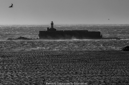
Cold, turbulent and powerful
The tramontana is very often associated with the mistral, like a twin sister, with which it shares many similarities. Here are the main characteristics:
- Location: South of France
- Sector: north with a westerly component.
- Character: violent, gusty and cold
- Period: tenfold in winter and spring, but possible in any season
- Frequency: on average 115 days a year, as in Perpignan
- Duration: several consecutive days, and up to 17 days as in 1993
- Power: violent gusts well in excess of 75 knots towards Cap Béar
- Record: 110 knots recorded at Sète, Port-Vendres and Perpignan.
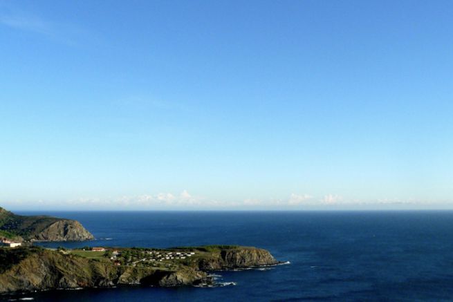
- Effect: Seems to "clear the skies" by bringing colder, drier air to the coast
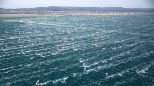
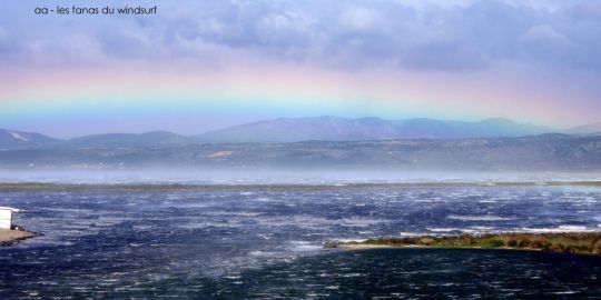
Like the mistral, the tramontane is a foehn effect, a meteorological phenomenon created when a prevailing wind meets a mountain range. When an air mass is forced aloft by its movement over mountainous terrain, a highly characteristic orographic or relief wave is created.
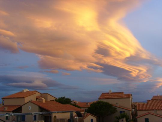
A wind capable of changing the climate
Despite its violence, the tramontane is essential to the balance of coastal marine ecosystems. In fact, by pushing the waters of the lagoons towards the sea, it enables them to renew themselves and oxygenate the environment.
With the tramontane wind blowing down from the mountains, the air temperature will drop sharply, sometimes giving the horrible sensation of being in a polar region.
What's more, the water temperature will rapidly plummet too. Warm surface waters are pushed offshore by the wind, which causes deeper, colder layers of water to rise. In summer, the sea temperature will easily drop to 18 degrees after a few days of wind, and in winter, 12-degree water is bound to freeze your fingers off.
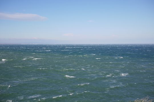
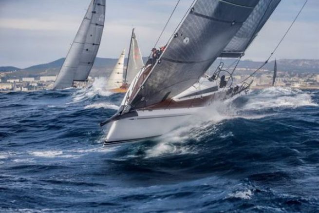
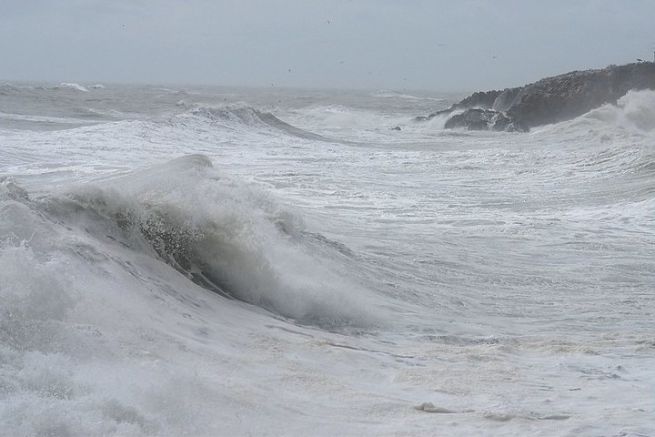
In the coastal regions of southern France, if the onshore wind leaves the sea white, no significant waves will be observed. However, the powerful Tramontane could easily generate 5 m waves offshore.
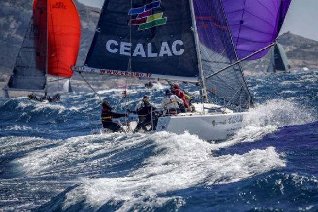
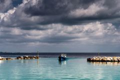
The short "period" of these waves will cause them to break, making navigation a particularly trying experience for boats and their crews. The high dikes that protect the harbors of the northern Balearic Islands bear witness to the violence of the tramontana waves.
How to predict the tramontaneâeuros?
The meteorological context favorable to the establishment of the tramontana is a zone of high pressure over the near Atlantic, extending towards Spain and south-west France.
This zone of high pressure will generate a north to north-westerly flow of cold air.
A low-pressure system over the Gulf of Genoa or the Tyrrhenian Sea will tighten the isobars.
The mountain ranges of the Massif Central and the Pyrenees will reinforce this wind due to the venturi effect.
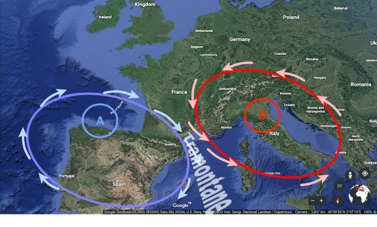
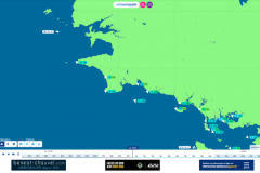
The strength of the tramontane generally depends on the pressure difference: if the pressure difference between Toulouse and Cap Béar exceeds 4 hPa, the Languedoc region is likely to experience strong gusts.
Another context is also favorable to the creation of the tramontana. In fact, when a low-pressure system crosses the western Mediterranean on its way eastwards, there is a high probability of the appearance of the tramontana over the Balearic Islands and the Gulf of Lion (frequent in autumn and spring).

 /
/ 

