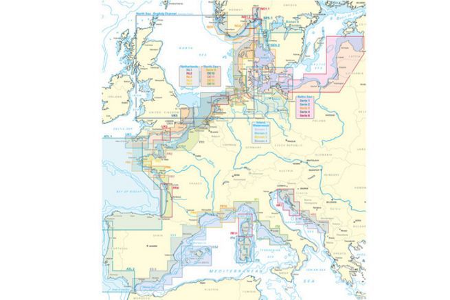
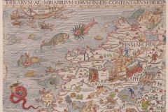
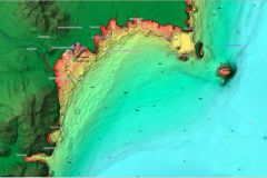
The German nautical chart publisher NV Charts regularly completes its collection. With these charts one can now connect the Baltic Sea (Norway) with the Mediterranean Sea (Croatia). Indeed, Spain is now fully covered with a new map (ES3) from Gibraltar to Cabo San Antonio.
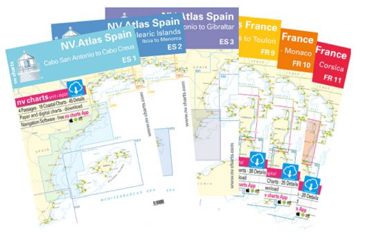
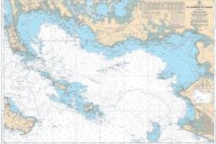
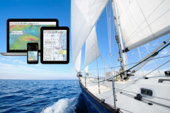
All these maps are offered in Atlas format with each time the paper maps and the application with its digital maps. Indeed, this editor offers with its paper maps a software (computer or tablet) to find the same maps (raster) in digital format.
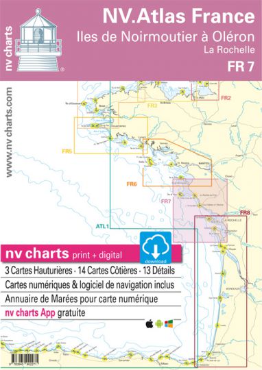
The policy of this publisher is to be able to propose new geographical areas or updates of old maps every year. Thus all the French Atlantic coast maps have been reissued (from FR1 to FR7) with a change of cut-out for the FR7 map. The map now includes the entire Pertuis d'Antioche with its islands Ré, Aix and Oléron.
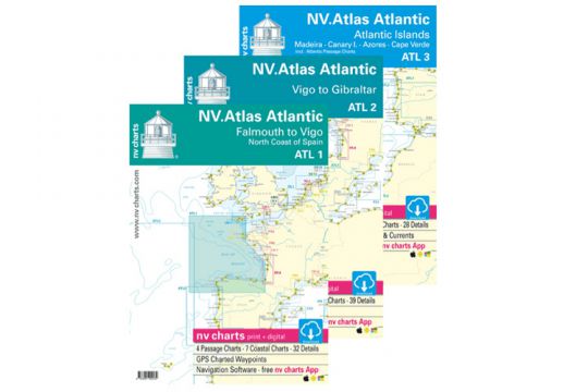
Maps to cross the Atlantic
With 3 atlases (ATL1 to ATL3) the editor now covers the Atlantic crossing :
- ATL 1: The Atlantic from England to Spain with details of northern Spain
- ATL 2: the coast of Portugal
- ATL 3: the Atlantic islands (Madeira, the Azores, the Canary Islands and Cape Verde) and the crossing to the Caribbean
