Navionics Boating
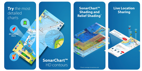
This application provides you with detailed nautical maps (even on the bottom) regularly updated and enriched by the community of users, who can point out rocks, buoys, holds, etc.
Many features are also included such as route suggestion, real-time position sharing, weather and tides... For the latter, it is not possible to display them on the map, you will have to open another window. You can also create your personal maps, save your route..
If you have an AIS Wifi receiver, by connecting the application, you can also display this data on your map.
Available as a trial version or with a one-year subscription - iTunes and Android
TZ iBoat
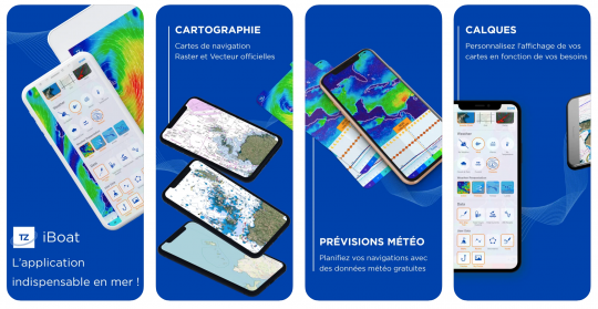
This application allows to gather all the functionalities in one to help you in your navigation: weather, C-MAP vector charts, anchor alarm, radar and AIS module. Easy to use and fun, it can be used with or without Internet connection. Discover our test of the TZ iBoat app .
Available by subscription - iTunes
Avalon Offshore

This complete application offers both a weather routing and navigation/mapping system for your boats. You will also be able to track and record your tracks, calculate your polars and even use it during your races by positioning your course buoys from the starting line.
From 54 euros - iTunes and Android
Weather 4D
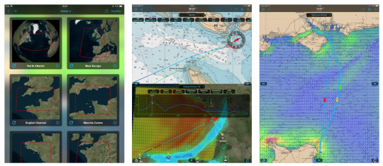
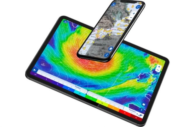
If at the base, Weather 4D is a weather application, it has become a real navigation tool with the possibility to load maps and use them to navigate. You can also save waypoints and create routes. It also allows you to display boats equipped with AIS directly on the chart (provided, of course, that your boat is itself equipped with an AIS and a router).
Starting at $44.99 - iTunes
SailGrib
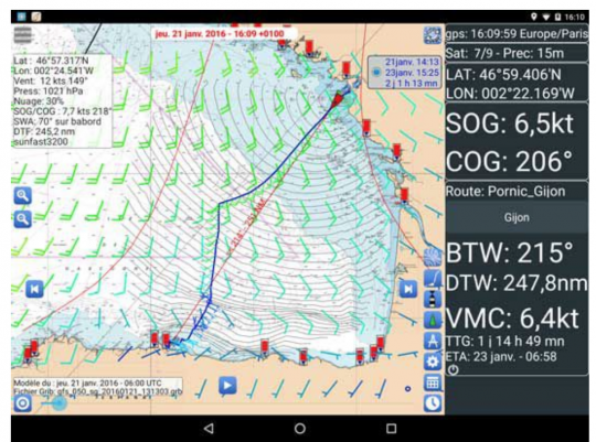
Historically designed to provide weather data to boaters, SailGrib now allows you to make routings and to follow your navigation (track, position, speed, course to follow, distance, travel time...).
From 40 euros - Android
C-Map
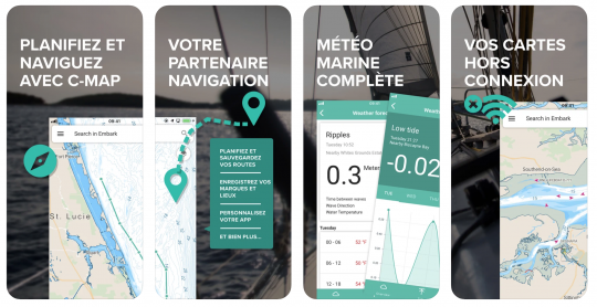
C-Map is a free mapping application, but it requires to be connected. You can save waypoints, plot routes and record your track. The navigation mode allows you to indicate the speed and the course to follow. The application also retrieves AIS data from the web to indicate its position to other users, and allows you to check the weather.
On subscription - iTunes and Android
qtVlm
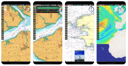
qtVlm is a navigation and routing software for sailboats. In its free version, it includes basic maps and weather files can be downloaded. This package also includes the Anchor Alarm module and allows to receive the boat's position via the internal GPS.
The paid version brings even more features: weather and route routing, navigation instruments, AIS module, race start, raster and vector chart modules.
From 39,99 euros - iTunes and Android

 /
/ 