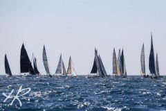
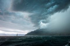
The South Finistere coast now has a complete navigation aid. After windmorbihan.com and windloireatlantique.com the marine weather service has been extended to Cornouaille, with a clear objective: to offer users of the sea a simple, free and accurate reading of conditions at sea.
Weather data critical to user safety
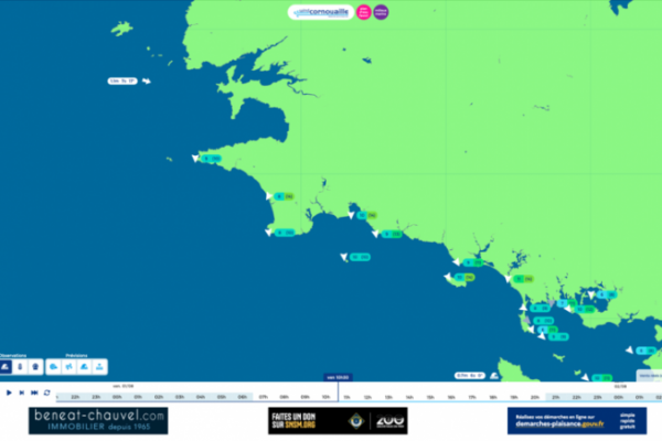
The heart of the system is a network of sensors placed at strategic maritime locations such as the Pointe du Raz, Penmarc'h and Les Glénan. These particularly exposed sites enable us to collect representative data from the water: wind speed in knots, gusts, wave height and changes in real time. This instantaneous measurement is invaluable for adapting coastal or offshore navigation, and avoiding unpleasant surprises offshore.
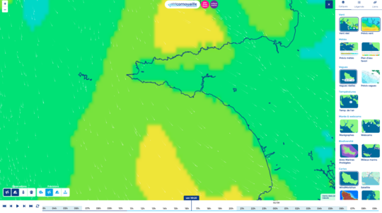
Real-time overlay and forecasts: a decision-making tool
The site doesn't just display current data. It superimposes current measurements with 4-day forecasts, enabling you to assess their reliability and track weather trends. This is an invaluable function, particularly for water sports enthusiasts or professionals who depend on weather slots, such as oyster farmers or local shipping companies.
Ergonomics designed for mobile and field use
The interface has been designed for fast reading, even on a smartphone. At a glance, the navigator can consult key data, view a live webcam on certain sites, or plan his departure according to tide times. Site-by-site navigation enables you to target your practice area and refine your choices in terms of equipment or itinerary.
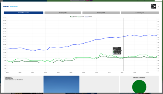
Integration of marine and environmental data
In addition to weather parameters, windcornouaille integrates data from the Office Français de la Biodiversité. In each zone, the user is informed of the fauna, flora and associated ecological issues. A way of raising awareness of the environments crossed, and encouraging boating practices that respect coastal ecosystems.
A scheme supported by local authorities and ENVSN
The project is coordinated by the École Nationale de Voile et des Sports Nautiques, with financial support from the Pays Bigouden Sud community of municipalities, the Brittany Region and public partners (DGAMPA, OFB, Météo France). Investment in the sensors was entrusted to LCJ Capteurs, specialists in marine instrumentation.

 /
/ 