A winter race
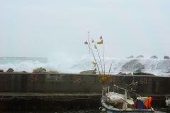
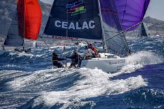
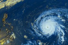
From a meteorological point of view, in November, the North Atlantic is crossed from West to East by low-pressure systems, bringing into the Bay of Biscay a wind essentially from the West to the South-West, quite consistent with often rough seas.
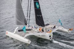
To the south âeuros close to the equator âeuros is blowing an easterly wind âeuros the trade winds âeuros which will propel the competitors at high speed towards Guadeloupe. The skippers of the Route du Rhum will therefore go through a winter weather before encountering warm and humid tropical conditions.
The phases of the race
Phase 1: the descent of the English Channel
In general
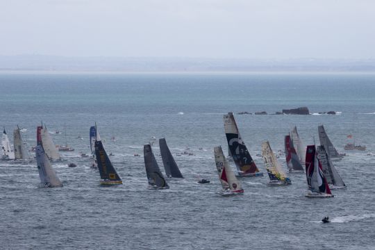
At this time of the year, the wind, predominantly westerly, lifts a fairly strong sea for the start of the race. The exit from the English Channel is often done upwind, because in winter at the latitude of Europe, the period of low pressure regimes offers winds with a westerly tendency, therefore upwind for our competitors.
The route to take is due west and the current is alternating from east to west. Thus, it often raises a very short sea to face, which we call a breakwater sea. During this first phase of the race, you will have to place the cursor so as to be in the right pack of boats at the exit of the Iroise Sea, but above all not to break anything before attacking the Bay of Biscay.
Phase 2: Crossing the Bay of Biscay
In general
This season, the depressive regimes sweep regularly the Bay of Biscay. It is often at this time that the first crucial options are taken. As we have seen, one or more winter lows will present themselves to the Route du Rhum competitors. In order to negotiate them in the best possible way, will they have to go around them from the north, from the south, or dare to cross them as quickly as possible?
The strength of the phenomenon, its position on the competitors' route, the ability of the boat and the sailor to endure the bad weather are the factors that will determine the best route to follow. In any case, the reputation of the Bay of Biscay in winter is well established.
Phase 3: Going South
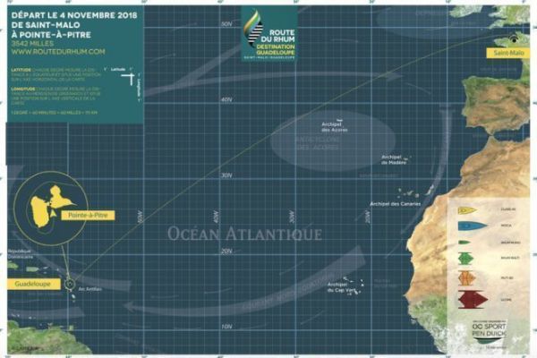
Before reaching the South, we must decide to turn right, since Guadeloupe is to the west. But at which latitude should we do it? Spain, Canary Islands or Cape Verde? The choice of this right turn is crucial!
Should we look for the shortest route, often with a less downwind regime, or should we look for well-established trade winds with a very southern route, but with a considerable increase in the distance to cover? It is the position of the Azores high, and the speed potential of the boat that will guide the choice to be made and there are 3 options:
- Option 1 if the high is positioned more to the north, we could be tempted to choose a fairly direct route. The advantages will be a stronger wind and a shorter route. The disadvantages will be a fairly close wind speed, and then a wind that is often quite weak to get back to the south and catch the trade winds.
- Option 2 : Ãeuros the opposite of the 1 re the idea is to go directly south to catch the established trade winds, " deep trade winds the disadvantage is of course the longer distance to cover and the feeling of falling back in the ranking during the "> Finally, the last few miles will be played out upwind to the finish line. The trade winds will be channeled and often reinforced by the island's relief. Finally, after having given their all and more, the racers will cross the finish line.
