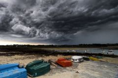
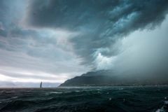
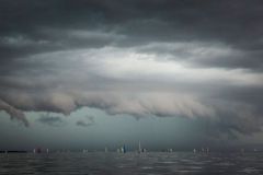
Clouds are classified into ten types, according to their shape (layer or stratiform or ball or cumuliform) and their base altitude (some clouds have a vertical development and extend over several levels).
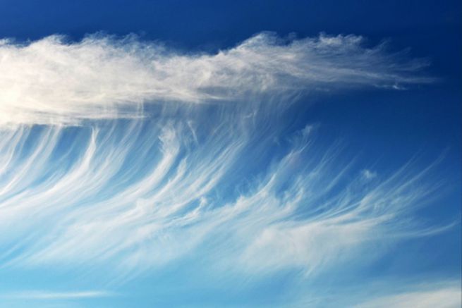
Cirrus (Ci): from 6 to 12 km altitude
They have the shape of white filaments, like feathers or commas, with a fibrous aspect and/or a silky shine. Very thin and transparent, they let the sun pass through, even if they dull its shine. They are essentially composed of small scattered ice crystals. They appear in the sky before other clouds that will cause a disturbance
Effect They are a sign of good weather and their precipitation never reaches the ground. If followed by Cirrostratus, they often precede a disturbance.

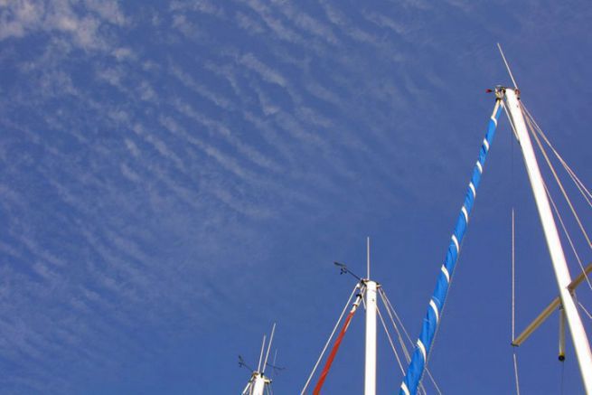
Cirrocumulus (Cc) : 5 to 13 km altitude
These are small white clouds in the form of granules or wrinkles that form a bench, a layer or a thin layer, letting the sun filter. Essentially composed of ice crystals, they follow the cirrus and cirrostratus and announce a change in weather.
Effect They do not announce any particular weather and very rarely give rainfall that never reaches the ground.

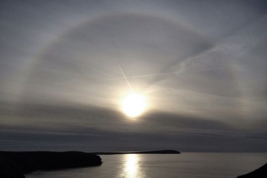
Cirrostratus (Cs): 5 to 13 km altitude
It appears as a transparent, whitish cloud veil with a fibrous or smooth appearance and partially or completely covers the sky, yet it is not thick enough to remove cast shadows. In general, it is associated with a halo phenomenon. Composed of small, widely dispersed ice crystals, it often announces a change in the weather.
Effect Precipitation: It never gives precipitation. It is often found at the front of a warm front and can precede precipitation up to 24 hours after its appearance.
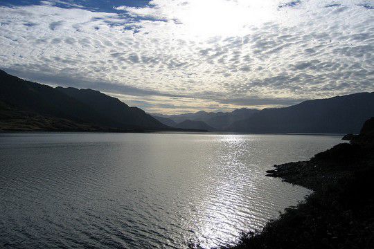
Altocumulus (Ac): 2 to 6 km altitude
They are in the form of a bench or layer of clouds in the form of white and/or grey strips, pebbles or rollers. They can be welded together and are mainly composed of supercooled water droplets.
Effect They do not announce a particular weather but rather a change of weather. They can bring rain in rather light and short rainfalls.

L'altostratus (As) : 2 to 6 km altitude
It is a bluish or greyish cloud layer with a striated, fibrous or uniform appearance and covers a large part of the sky. It can let the sun appear where it is thinnest. It looks like a cirrostratus, but without the halo phenomenon. Several layers of altostratus can overlap at intervals of a few dozen metres and are often associated with altocumulus.
Effect When it is thick, it can bring rain, snow or ice granules.

Nimbostratus (Ns) : 2 to 6 km altitude
It is a sign of bad weather and takes the form of a thick grey and dark cloud layer, whose appearance is blurred by the precipitation it generates. Coming from the altostratus, it causes either rain or snow continuously with a strong to very strong intensity. It often gives the impression of being lit from the inside, but is thick enough to completely hide the sun. It is regularly accompanied by shattered low clouds (pannus).
Effect Rain: Its rains can last all day and in winter, if it is cold, it will generate snow or ice pellets.
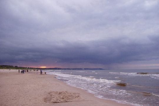
Stratocumulus (Sc): 300 m at 2.5 km altitude
These are regular banks or layers of grey and/or whitish clouds in the form of slabs, rolls, etc., welded or not. They consist mainly of water droplets and are a sign of overcast weather with no precipitation. They resemble altocumulus in appearance, but differ in altitude and diameter of their constituent elements.
Effect They announce a rather threatening weather and it can - but very rarely - give rise to light rainfall, snow or rolled snow.
Stratus (St): 0 to 500 m altitude
It is a cloud of grayness, which forms a uniform, extended and gray layer of low clouds, which can occur to drizzle, snow or ice prisms. It can also take the form of a shredded bench when it dissipates. Its irregular contours and dimensions change continuously and rapidly. Its base is very low (between 20 and 500 m) and it can hide the peaks of small hills. When it touches the ground, it turns into a fog. They are particularly common in large urban areas because of air pollution.
Effect It can produce drizzle, granular snow or snow in very small flakes, in very small quantities and with very low intensity.

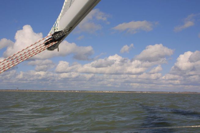
Cumulus (Cu): 200 m at 2 km altitude
Cumulus is a cloud of good weather despite its imposing size and develops vertically. It is dense, with well defined contours. Their upper side buds and often resembles a cauliflower. When the sun shines on them, they are bright white, while their rather flat base is more or less dark. We distinguish 3 varieties of cumulus according to their vertical development.
Effect The cumulus of good weather does not announce rain but it sometimes gives rise to rain, snow or rolled snow, always in the form of rainfall.
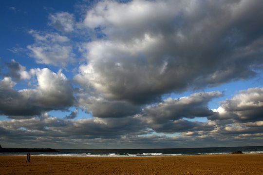
- Cumulus humilis They are weakly developed vertically and appear flattened. They do not give rise to precipitation and are therefore called"clouds of good weather."
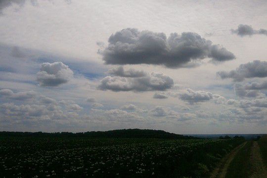
- The cumulus mediocris It develops vertically in a moderate way (from a few hundred meters to 2 km). Their top is covered with protuberances and little developed budding. They do not usually result in precipitation.

- Cumulus congestus They are very extensive vertically (up to 5 km) and bud strongly, with well-cut contours. It constitutes the last stage of development of the cloud before its transformation into cumulonimbus.
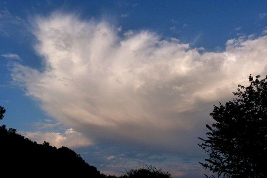
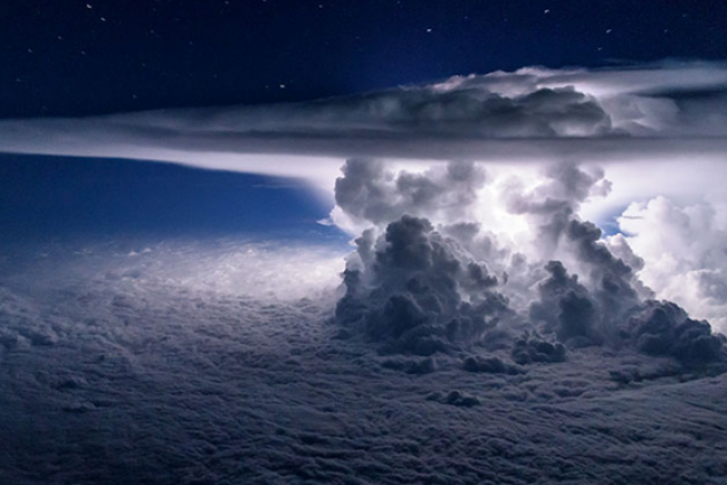
Cumulonimbus: 300 m a 17 km
These are cumulus clouds that herald bad weather: storms, showers, hail. They are formed by enormous volutes at the top and can generate very violent bad weather. They are the only clouds that cause thunderstorms.
Effect It brings the most violent bad weather, in winter as in summer: rain, snow, rolled snow, sleet and hail, always in the form of showers, often accompanied by lightning and thunder. Sometimes it can even form a waterspout, or even exceptionally, a tornado that will descend to the ground with strong winds.


 /
/ 