To avoid being bored while navigating, what could be more fun than practicing GPS drawing? This technique consists in making a virtual drawing with your GPS track.
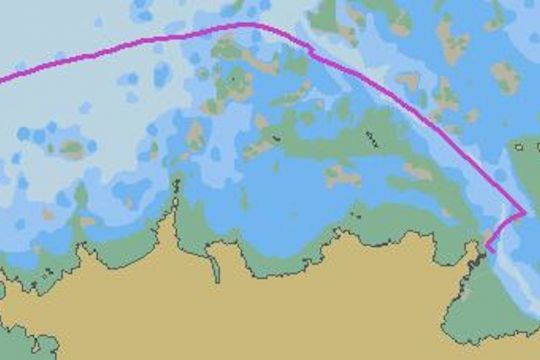
How to do GPS drawing on a boat?
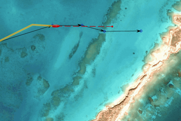
To make a GPS drawing on a boat, you must naturally have a GPS on your boat. The track of your boat must be recorded on your terminal in order to view and store your virtual drawing. Next, you need to determine the design you want to make. At first, it's best to choose a simple pattern that can be achieved with the wind and weather conditions and a limited number of heavy maneuvers. Then, it's important to place numbered waypoints on your mapping software that will give you reference points for making your design.
Finally, let's go: line up your markers one after the other to draw your design with your boat, respecting the numbering.
A good method of perfecting the maneuvers
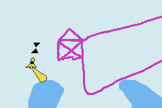
In sailing, GPS drawing is a challenge. You have to be as precise as possible in your maneuvers in order to make good drawings. The coordination of the crew will be a fundamental element as well as the good anticipation of the maneuvers.
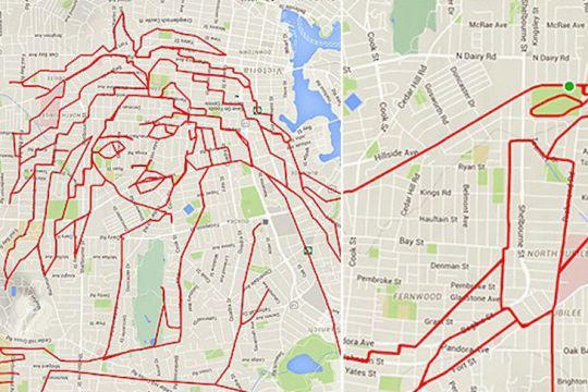
After a few sessions, you may become an ace at maneuvering. In any case, you will have had a lot of fun. From there to drawing giraffes like the one made by the cyclist Stephen Lund, there is a little practice to be had! The skippers of Team Initiatives Coeur have twice drawn hearts in GPS drawing at their arrival in the Vendée Globe.
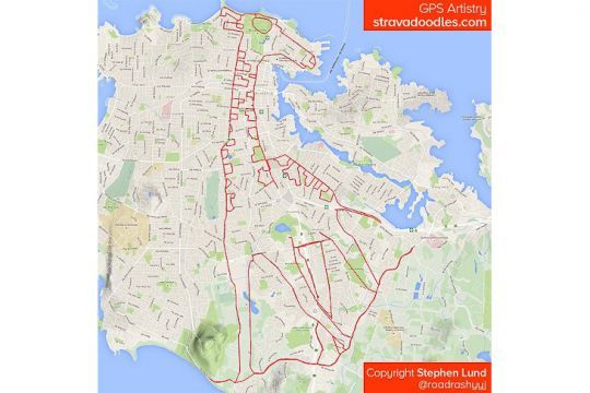
You too can start practicing GPS drawing on land, walking, running or biking with a small GPS or your cell phone. That way, you'll be ready to launch your boat this summer.

 /
/ 