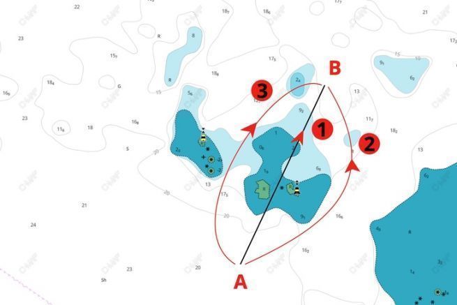
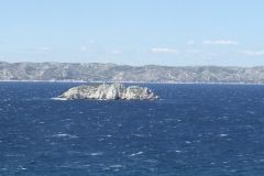
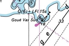
Reading a nautical chart is essential to navigate safely. On our example, we discover in front of us some reefs, more exactly the Esclassiers in the Chaussée du Beniguet in South Brittany. This rocky plateau is protected by two cardinals: one to the west of the plateau and the other to the east.
4 types of cardinals
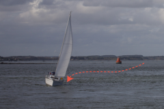
To resolve this issue, it is necessary to review its lesson on cardinals . These buoys, poles or turrets are installed to signal rocks or other reefs, dangerous for navigation. There are 4 types of cardinals, each representing one of the 4 cardinal points: North, East, South, West.
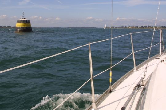
To never make a mistake and to pass on the right side of a cardinal, it is necessary to remember that an East cardinal is crossed to the East. The same goes for a North or a South cardinal that you pass to the North or to the South.
Pass east of the East cardinal
In our example, we have an East cardinal at the bottom right. It is thus necessary to pass to the East of this cardinal and, thus to borrow the way number 2. The road number 1 passes in the middle of the stones, not to be recommended, but especially, it passes to the West of the East Cardinal! Same for the road number 3. Only the road number 2 passes well in the East of the East cardinal.
Note that reading a nautical chart is always done with North at the top of the chart. This is a common practice on all maps of the world. The East is thus well on the right side of the mapâeuros¦
