A routing software with multiple victories
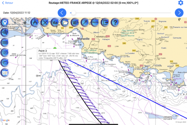
The Avalon Offshore software is the result of developments led by Jean-François Coulon and Philippe Joret, both passionate about online racing, but also real sailing. Philippe started by creating Avalon Virtual, a routing tool for online races on Virtual Regatta. Thanks to this, he has won several races including two virtual Transat Jacques Vabre.
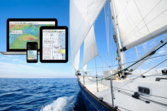
Afterwards, Avalon Offshore was a natural extension to the tablet to apply the performance of the routing tool to real sailing.
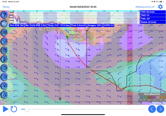
Bringing safety and comfort on a cruise
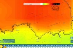
The tool has seduced ocean racers. "It is extremely powerful and can calculate 10 billion routes in 40 seconds! But the interest is not limited to professional sailors. "Routing brings security and comfort. You can choose the wind or wave conditions that are acceptable. With 85 weather sources available, some of which are optimized for satellite reception on the high seas, Avalon Offshore makes it possible to test different weather hypotheses simultaneously. A library with the polar charts of 450 boats is pre-registered" he adds.
Features for all boaters
Once you buy the application for your tablet for 60 euros, the software is updated regularly and free of charge with all the new features. There are on average 4 new versions per year. A subscription of 26 euros per year gives automatic access to all weather data.
Avalon Offshore uses Google as standard, but is compatible with Navionics charts. The editor also distributes electronic charts from SHOM or UKHO. The cartography can also be interfaced with the Navily community to prepare a cruise.
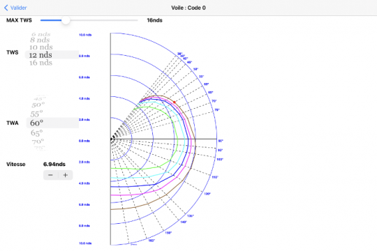
The yachtsman who would not find his happiness in the existing polar charts, can calculate the one of his boat with Avalon VPP, taking into account 70 parameters. Thanks to the acquisition of data at sea, he can also use his navigations to refine his polars.
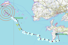
Other functions such as bathymetric routing, to make sure to have the necessary water level or a calculation of the direct route compared to the shortest one in order to limit the engine consumption are interesting arguments for the boaters.
