In maritime navigation, the chart is mainly used to locate oneself to avoid dangers. On inland waterways, landmarks are numerous and it is rare to get lost. On the other hand, structures, bridges, locks and others punctuate the navigation and it is comfortable to know what to expect in order to approach them well.
The guide maps are irreplaceable works that combine a precise representation of the waterway and particularly useful "nautical instructions". For example, you can find the location of the ideal channel, the distances between locks, but also their height of fall or their maneuvering mode... The reading allows to anticipate the gauge of the bridges or the choice of the arch marinière to be privileged. Finally, it is an essential tool to prepare your stopovers by anticipating the resources that you can expect from the riverside villages and the services available at the stops.
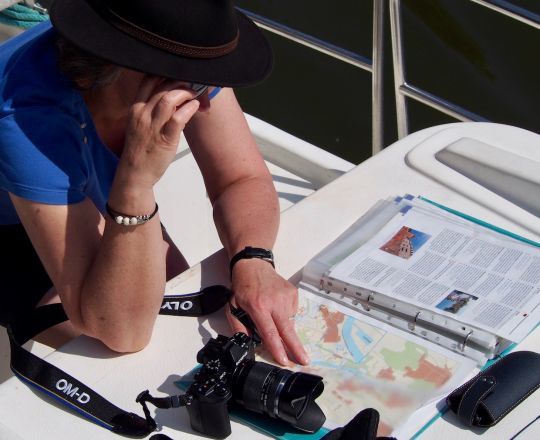
An expanded representation for an improved view
Not all inland waterways are alike. Canals, lakes, rivers and streams all have their own specific navigation characteristics. Canals are quite linear in nature, but most rivers have shoals and therefore a channel to respect.
The guide maps are presented in the form of a book, alternating pages of cartography and those describing the waterway. The scale used varies between 50,000th and 12,500th depending on the level of detail required. Some publishers have chosen to depict the waterway in a north-south orientation, while others prefer a vertical line which can be confusing in the case of a very winding river. For reasons of legibility, the representation of the 2 banks is not exact, but widened with respect to the bank. This is not a problem, unless you compare it to a zoom on a digital map, which is more accurate from this point of view.
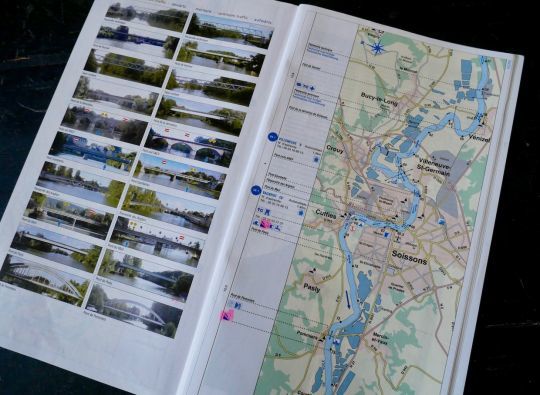
On the route, precious markers and indications
As on nautical charts, the available water level is indicated by shades of blue: dark for the navigable channel and lighter for uncertain bottoms or for non-navigable arms. When a buoy exists, it is represented, in other cases a dotted line marks the theoretical ideal channel.
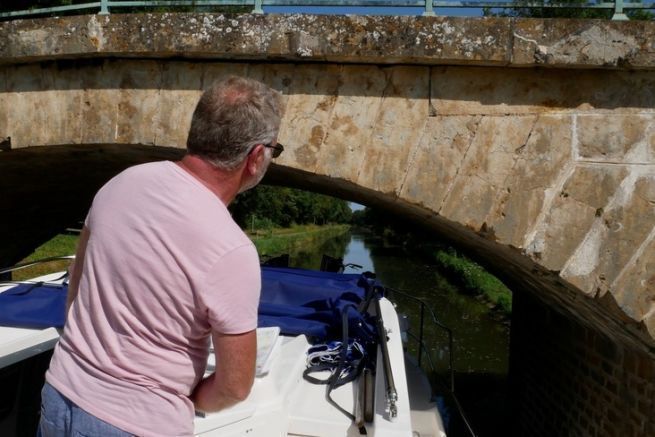
The layout indicates under which arch to enter when crossing a bridge. In addition, a cartouche shows a picture or drawing of the structure. This allows you to identify it with certainty, to be sure of its profile, but also to know in advance if it is a single lane or if there is a risk of coming face to face with a boat arriving in the other direction.
The route also mentions the KP, the kilometre points, whose physical representations (milestones or signs) have often disappeared from the shore, but which remain precious landmarks for locating oneself. The numbers parallel to the route indicate the distances between locks.
The power lines crossing the waterway are also represented and constitute a good reference.
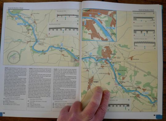
Common sense and the height of the locks...
The double chevrons of the locks indicate their direction, upstream or downstream. The possible waiting pontoons are represented in bold.
For each lock, there is a figure in brackets for the head. This is a valuable piece of information: one does not approach an ordinary lock in the same way as the 16-meter head of the Réchicourt-le-Château lock on the Marne-Rhine canal.
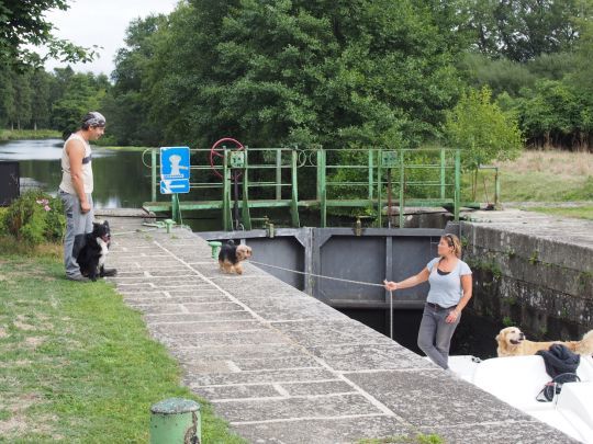
Another important point when approaching a lock is to know if you should expect to find a lock keeper, an automated system or if you should maneuver yourself. On the map, a color code helps you to find your way: blue when you have to maneuver yourself, green in other cases. When necessary, the telephone number where the lock keeper can be reached is also indicated.
Technical and touristic data on a single document
The pontoons, marinas and harbors are represented in a traditional way and pictograms list the services available. The same goes for the facilities of the localities along the river: on the map, the underlined names are those of the towns that are important enough to have "all the shops". Only those of the villages are detailed, which limits the risks of long wanderings in search of a missing bakery!
The towpaths are also indicated on the map. On some rivers, it is wise to make sure of their continuity before venturing out by bike.
The text also contains valuable information, ranging from the gauge of the waterway (draught, air draught, size of the locks), to the operating hours of the structures, including the contacts of the services responsible for navigation. In addition, there is tourist information to help you make the most of your cruise and avoid overlooking the treasures hidden behind the curtain of trees.
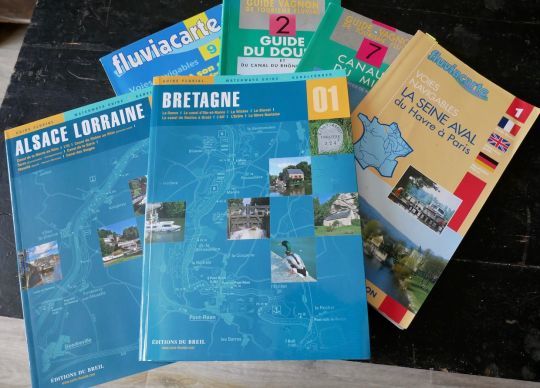
There are of course digital mapping applications, but to this day none of them brings together all the information that can be found in a paper document. On a personal basis and for certain passages, we sometimes use the satellite view of Google map which offers GPS positioning and an excellent visualization of the shoals.
While three publishers shared the guide card market, only the works of Editions du Breil are now available online or from specialized bookstores.
