Bateaux.com offers its readers precise information on marinas . Up to 125 pieces of information characterize marinas in the form of a card. This ranges from the number of places available for passing boats to the telephone number of the harbor master's office and the number of toilets and showers available for users. Of course, the technical facilities (craneage, careening area, slipway) are also well detailed.
Each record is updated by the port itself so that all information is as accurate and up-to-date as possible.
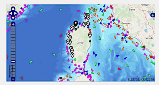
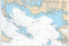
A marine map was missing to detail the port. It is now done with the adoption of this map.
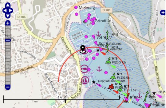
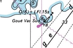
Lighthouses and buoys clearly represented
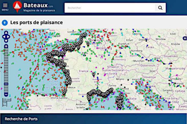
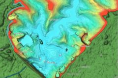
Thus, on these charts are represented the beaconing (lighthouse, buoy, wharves), but also the bathymetric lines (depth). In addition, the AIS targets are superimposed on the map. It is thus possible to follow the movement of the boats which emit in AIS. In pink, the pleasure boats, in orange the fishermen, in dark blue the liners, in green the cargo ships An arrow when they are moving, a circle when they are stopped.
If these maps cannot be used for navigation, they are a precious asset to prepare your trips or to discover a port before entering it.
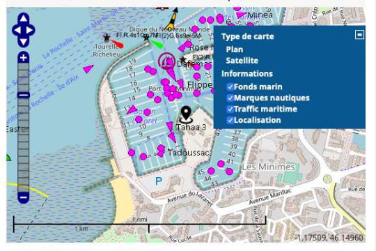
Menu on the right for the map setting
A side menu (+ symbol on the right side of the window) allows you to choose the different layers you wish to view. With it, you can choose a background map with satellite images, display or not the AIS (maritime traffic), the bottom lines and even the signs (nautical marks).
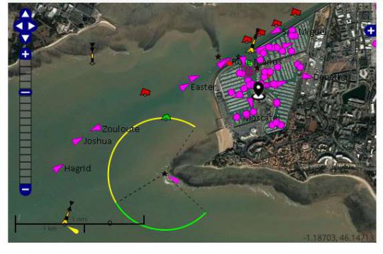
Display with satellite images
An additional point is that nearby ports are also indicated on the map (black positioning dot). You can thus easily navigate virtually from one port to another to discover the assets of a region.
