When sailing - whether inshore or offshore - there are essential (and mandatory) nautical documents to have on board. These documents can be collected in a single book or separated separately. For example, you can buy the Marine Block which gathers in one book all the information you need.
In France, it is the SHOM (Service Hydrographique et Océanographique de la Marine) which defines, elaborates, keeps up to date and distributes the general nautical documentation of the French maritime spaces in metropolitan France and overseas as well as in the zones of the former French Union. They centralize, exploit and diffuse, as soon as possible, the information concerning the safety in navigation, for all the users of the sea.
Navigation within 2 miles of a shelter
Within 2 miles of a shelter, there is no obligation, it is up to the skipper to decide what documents he will need for his navigation.
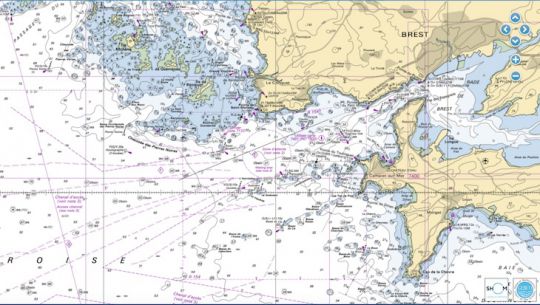
Mandatory documents for coastal navigation
In coastal navigation, i.e between 2 and 6 miles from a shelter Here are the required documents:
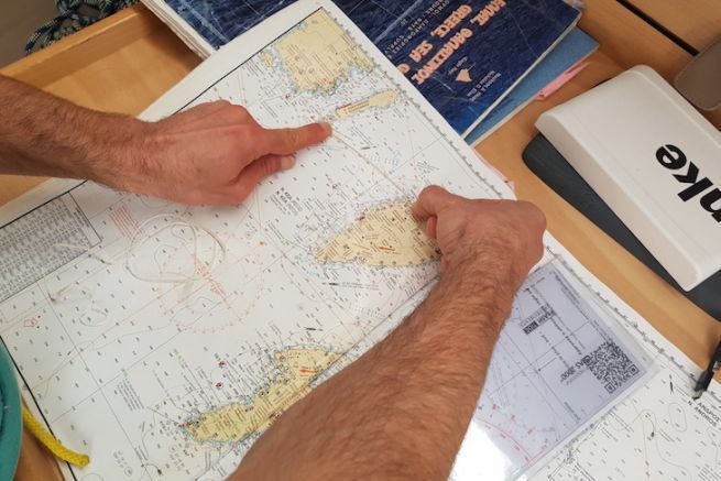
- Sea map or official extract elaborated from the information of a national hydrographic service. They must cover the entirety of the navigated zones, must be in paper version (and protected) or in electronic version on a suitable support. They must be regularly updated.
- RIPAM (International Regulations for Preventing Collisions at Sea) or a summary with text and images. It can be printed on stickers or downloaded electronically.
- Memo from marking of the frequented area either in electronic format or as a sticker.
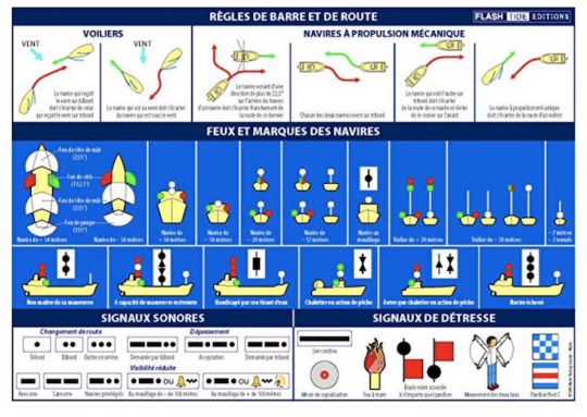
Mandatory documents for offshore and mid-shore navigation
To navigate beyond 6 miles from a shelter It is mandatory to have the following documents on board:
- Fire book up to date, in paper format or available digitally on a suitable medium
- Logbook with important navigation and safety features
- Tide directory or digital format or a document based on it. It is not mandatory in the Mediterranean.
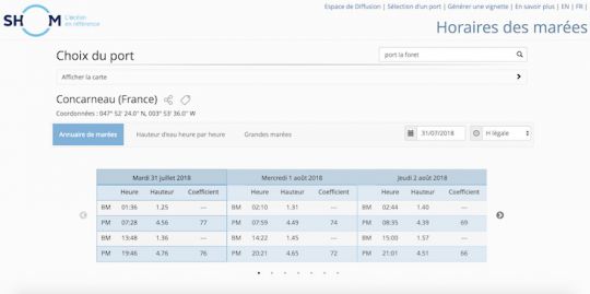
Check for consistency with official data
Your documents may have been prepared by a private publisher or by a national hydrographic service. Remember to check your information before sailing, as nautical documents are often modified to adapt to the maritime reality. Hydrographic services. The SHOM also regularly publishes so-called rapid information in the Notices to Mariners group (GAN), freely accessible on Bateaux.com.
Official hydrographic services have virtually real-time access to all available nautical information worldwide. ENC and RNC charts are distributed by accredited organizations and are continuously updated by national hydrographic offices.
On the SHOM website, you can find different information on these documents but also download some nautical books for free.
