The road melts
The bottom route is the route traced by the boat on the sea bed. A bit like the keel tracing its furrow on the bottom. This route is different from the surface route. On the surface, you can be deflected by the current. The bottom course is therefore the result of the surface course and the current.
In the absence of current, the bottom route is the same as the surface route.
Current suffered or expected?
The route is calculated using a vector construction, a simple drawing on the map that doesn't require complex mathematical knowledge.
There are 2 possible scenarios:
- He wants to know how far he's going to get after being subject to the current on a given course (subject current).
- It wants to arrive at a precise point, and so anticipates the current in calculating its route (predicted current).
How do you know the current?
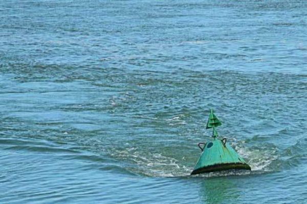
The current is the movement of water masses, mainly due to the tide. This is known as a tidal current. In some areas, currents due to salinity and the great equilibria of the seas, or to the weather, have been identified, such as the Gulf Stream.
The direction of the current is the direction in which the current is flowing, as opposed to the direction from which the wind is blowing. A northerly wind comes from the north, while a southerly current takes the boat southwards.
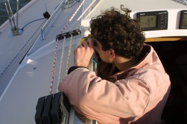
You can read the current strength and direction:
EXAMPLE OF A CURRENT UNDERGONE :
A boat is on a 70° course (surface course), travelling at 4 knots from point A. However, a current of 1.5 knots carries it to 110. Where will it be after one hour's sailing?
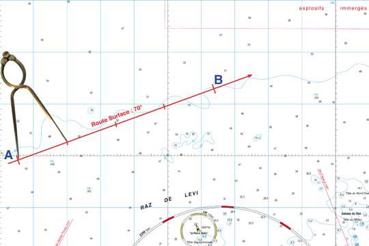
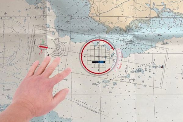
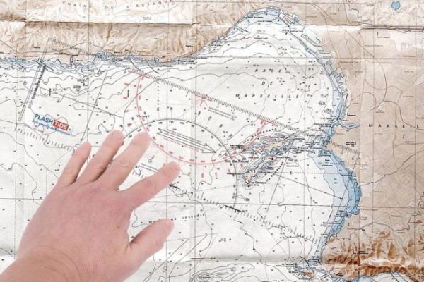
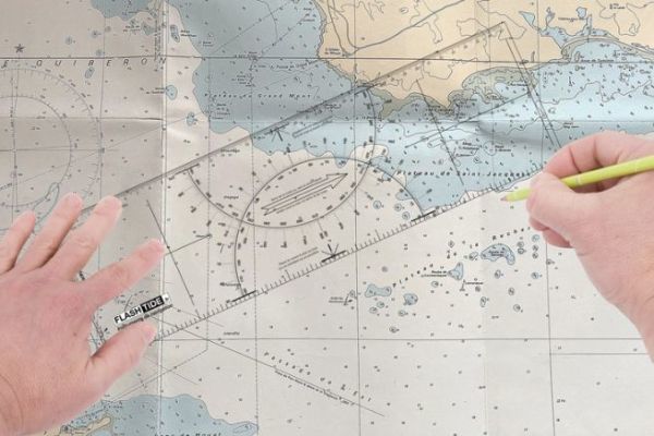
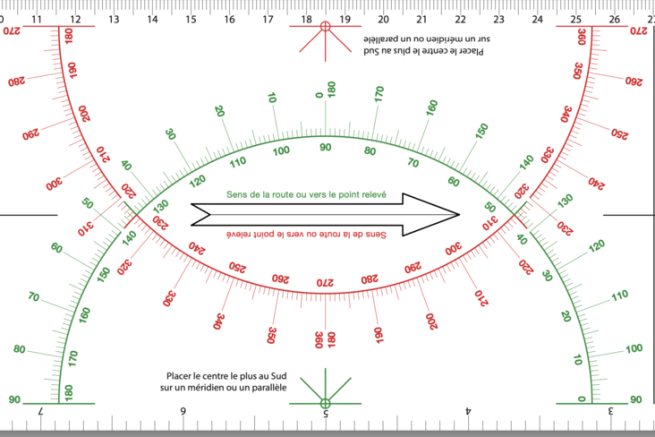
From point A, use a protractor ruler to trace the vector of the surface course at 70. Then, using a drypoint, plot the distance covered in one hour, i.e. 4 miles. The result is point B.
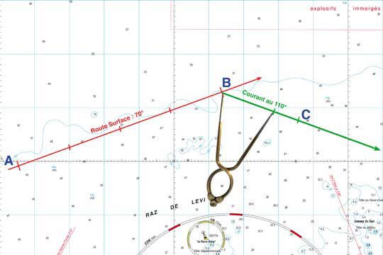
From point B, trace the current vector. Still using the protractor ruler (or Cras ruler), we plot a vector whose heading is that of the current (here 110). Using a drypoint, we plot the 1.5-mile equivalence. Point C is obtained.
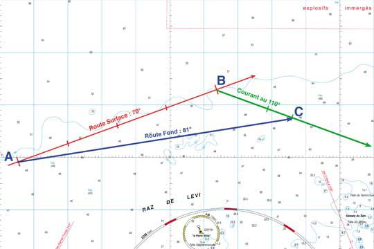
The bottom route is the route from point A to point C. After an hour's sailing, our boat will be at point C. To find out the course of this route, simply read it off with a protractor ruler. Note that the boat will have covered more than 4 miles, helped by the current.
In this case, you should check that there is no danger on the blue route actually travelled by the boat.
EXAMPLE OF EXPECTED CURRENT :
What course should the boat follow if it wants to reach point B, and knows that it will be hit by a 1.5-knot current carrying it to 110?
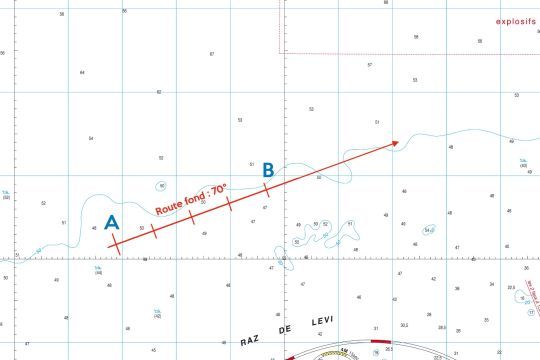
A straight line is drawn from A to B, here 4 miles to the 70. This will be the bottom route.
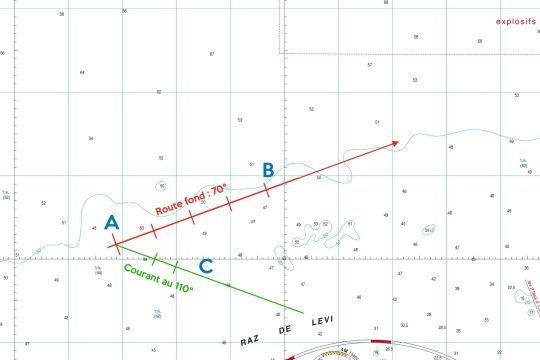
The current value is plotted over an hour (1.5 miles to the 110).
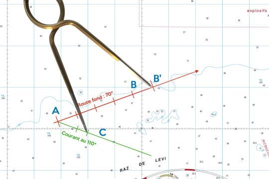
Using a drypoint, draw a circle of radius 4 miles from C. B' is the point of intersection of this circle with line AB.
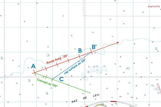
We then trace the surface route in blue. Use a ruler to measure the course (here 56°). The orientation CB' gives the course to be followed by the boat, which is 56°. Knowing that the distance AB' will be covered in one hour, we deduce that the boat starting from A will pass through B in 48 minutes, maintaining a course of 56° (calculated using a rule of 3). It's amusing to note that the boat will crab along its route to reach point B, but that this route will be in a straight line.

 /
/ 