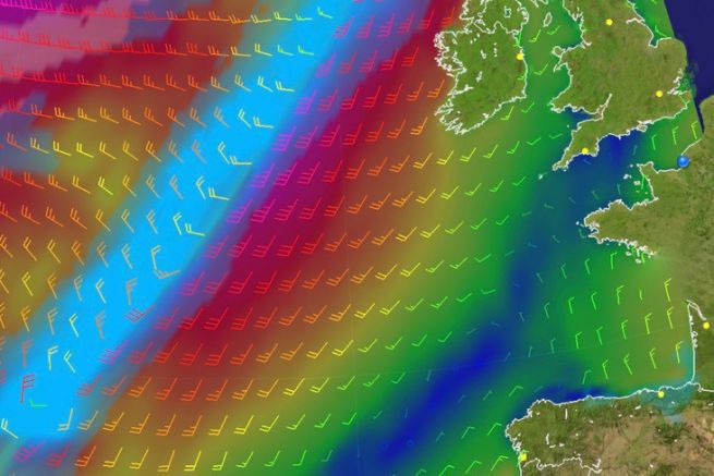
With the weather information 24 hours away from the start, what's the scenario that's coming up?
There's gonna be a little bit of everything. A fairly fast, direct tack out of the Channel in a slightly unstable NW'ly. A wind which is easing off around Ushant with the passage of a ridge of high pressure (a ridge of high pressure) coming up. As a result we're going to have to send the mainsails up to code 0, but very quickly on exiting the ridge of high pressure it's going to rise to a crescendo: 15 knots, 20 knots, 25 knots, 30 knots, 40 knots!
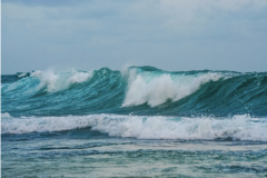
After this ridge of high pressure, the scenario is to look for a front which is a little more violent with quite a lot of sea: 3m waves which will cross with the swell. You're going to have to be very vigilant, the conditions won't be comfortable and the sailors will have to be in good shape: there will be 10 difficult hours with a lot of manoeuvres.

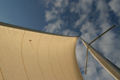
Then it's going to go back to the way it was before. They're going to tidy up the wardrobe to reduce the power of the sails: roll code 0, roll the solent, roll the staysail, switch to ORC. And for the mainsail: high, reef 1, reef 2, reef 3 ... All that, if the sailors haven't anticipated it, if they don't know what they're going to be eating, they risk endangering the boat. So they have to prepare their manoeuvres, in order, without waiting to be in a hurry. As soon as they feel the wind picking up, before it gets too strong. We have to manage these changes in the wind so that it doesn't break. It's not going to be easy, they're probably going to modify their recovery to be two on manoeuvres.
