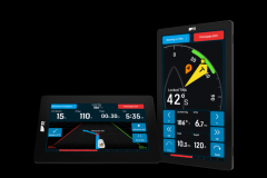
Weather4D is now available in version 2.0 on iOS (iPhone, iPad). Its developer Olivier Bouyssou had reserved his last developments for the Android version which was ahead of the Apple version. Things are now reversed since today Weather4D 2.0 offers more advanced features.
Much more than just a weather app
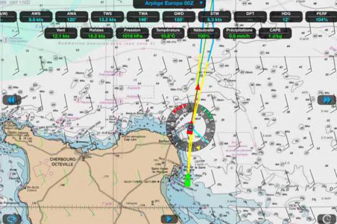
Weather4D is an application to read the weather. For this purpose, it displays low and high resolution GRIB files in graphic and animated form. On top of these weather functions, the possibility to perform a routing has appeared over time. With the speed polars of your boat entered, you can know the best route or the best departure time.
To receive the weather off shore, the application also indicates the best time to send the request, when the satellites are best positioned (the closest) to reduce the connection time (and therefore the cost).
The latest version has transformed the weather application into a real navigation software. With the possibility to load maps and use them to navigate. You can also save waypoints and create routes.
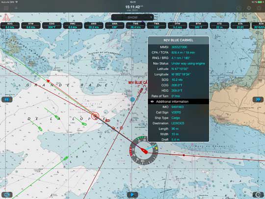
After the maps, the AIS
In the latest update, AIS is now enabled. The application is able to display the AIS targets of surrounding boats and manage alarms that can be set according to the dangers. Of course, this option will only be effective on board if the boat is equipped with an AIS, itself connected to a Wifi transmitter to be able to communicate with the tablet and Weather4D.
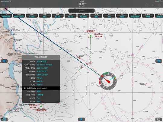
Multiple alarms
In addition to the AIS alarms (CPA, TCPA adjustable), the application integrates sensor alarms, GPS (low accuracy), course deviation, wind (threshold and adjustable time) and finally depth (adjustable threshold). These alarms appear on the tablet in the form of a display, a notification and a sound with the request for validation.
Price: 49,99 euros with GFS model, satellite maps and Open Street Map worldwide
Additional 12 months weather model forecasts: 33,99 euros
Marine charts: SHOM 60 euros, UKHO 50 euros,âeuros¦ (price varies according to hydrographic organizations)
