The nautical mile: where does it come from and how do you use it?
Every (conscientious) navigator knows that a nautical mile is equivalent to 1,852 meters. But why such a precise value? Why not adopt a "rounder" unit? Its origins go back to the dimensions of the Earth and the needs of sailors at sea.
A unit of measurement linked to the earth
The nautical mile (or nautical mile) is a unit of distance used in sea and air navigation. Unlike the kilometer, which belongs to the International System of Units (SI), the nautical mile is defined to facilitate the measurement of distances at sea.
Its calculation is based on terrestrial geometry:
- Since the earth is a sphere, we can draw an arc between the equator and a pole.
- This arc represents 90 degrees of latitude, each degree divided into 60 minutes, or 5,400 minutes of angle between the two poles.
- The distance from equator to pole is approximately 10,001 km, so dividing by 5,400 gives 1,852 metres per minute of arc, hence the definition of the nautical mile.
Knots: the right speed for navigation

At sea, boat speed is not expressed in kilometers per hour, but in knots. One knot (kn, kt or nd) corresponds to 1 nautical mile per hour, or 1.852 km/h.
The origin of the term dates back to a time when sailors measured a ship's speed using a plank attached to a rope with knots spaced at regular intervals. Once the plank had been thrown into the water, an hourglass was turned over. When all the sand had run out, the rope was pulled up and the number of knots counted, giving the boat's speed.
Today, although this technique is no longer used, the term "knot" has remained in maritime vocabulary and is also used to measure wind speed.
How do you represent the nautical mile on a map?
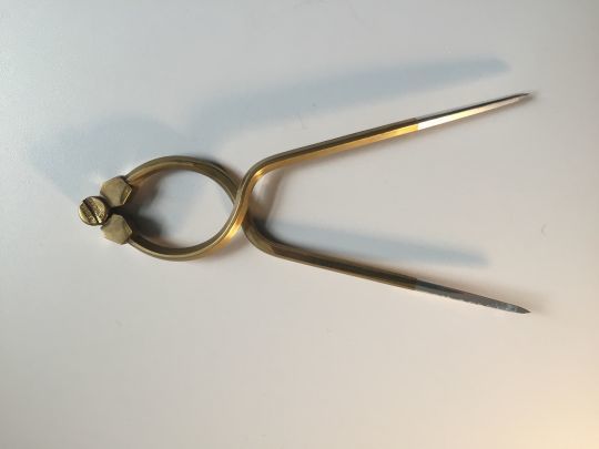
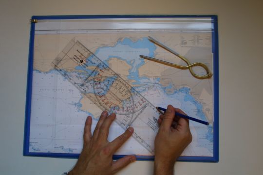
On a nautical chart, distance measurement is based on the latitude scale (vertical axis). In fact, one minute of latitude corresponds to one nautical mile, making it possible to measure distances directly with a dry-point compass.
Quick conversion: nautical mile and kilometer
To quickly convert nautical miles into kilometers :
- Multiply by 2 and subtract 10% from the result.
- Example: 10 nautical miles ? 18 km (10 × 2 = 20, minus 10% = 18).
Whether to express distance in nautical miles or speed in knots, these units remain essential for sailors and navigators the world over.
