Why organize your waypoints?
Some anglers write everything down on their handsets and over time end up with a multitude of waypoints without really remembering what they correspond to. I have also been confronted with this problem and I have been looking for a method to find my way around while continuing to add to my database with each trip.
The goal is to build a circuit according to the tide times. When I run out of inspiration, a quick look at the waypoints near my position allows me to find a new area to fish.
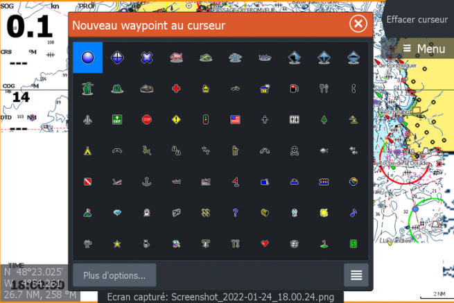
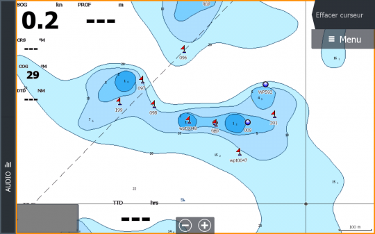
Below you have the typical example of what it is not advisable to do, namely to create a multitude of waypoints on the same board without any other indication. I might as well tell you that I have no idea of the context in which they were created.
What should be marked?
During a fishing trip, it is important to record different types of information on your device. Each fishing trip should allow you to add a little more to your database as long as it is at least organized to make it easier to find.
I distinguish on the one hand the temporary information such as the detection of forage fish which will surely not be in the same place during the next trip. Noting them will allow you to prospect around to look for possible predators. This information is identified in a legible way on my GPS so that it can be deleted during the next trips if necessary.
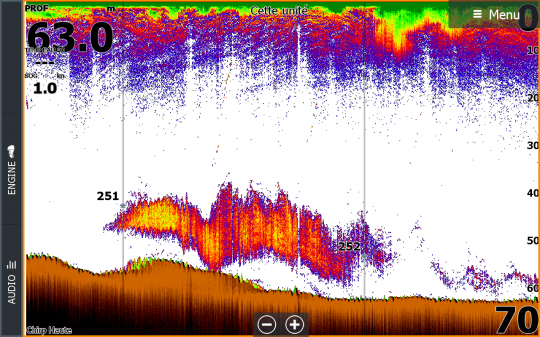
on the other hand, isolated rock heads are precious information to be noted. Even if one day they do not shelter any fish, nothing says that during a future outing they will not be fruitful. I strongly invite you to come back regularly to see if they shelter some predators.
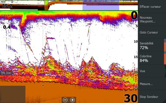
By habit, when I navigate between 2 spots, I keep an eye on the sounder and as soon as I see an interesting structure, I point it on my GPS with the aim of coming back later.
In this case, the installation of a transverse probe allowing detections at high speed is a real plus compared to the rear panel probes which are strongly subjected to the disturbances of the engine and offer an image often saturated in parasite at high speed.
When to mark a fish detection?
When I fish a new sector discovered after a little prospecting, I note on my handset all the catches I make, but also the detection of predatory fish. This is firstly to place the following drifts and try to link the catches, but also to remember during the following trips. This type of mark is distinguished from others by a different icon.
In a second article, we will see in detail how I manage my waypoints, but also how I name them.
