Before setting sail, whether you are sailing on a sailboat or a motorboat, whatever your destination, far away or not, you must prepare your route. This will go through different steps that will allow you to cast off safely.
Plan a program
A sea trip does not often go exactly as planned. Surprises can make the program change. But it is still a good idea to set the program before departure.
We will start by imagining an outing in adequacy with its boat and its crew. There is no point in wanting to sail dozens of miles with an open hull where the crew members will have no protection. Similarly, if you are going out with children, you must find short distances so as not to "lose" them and make them suffer your pleasure.
Knowing the weather
It is not advisable to go to sea without first consulting a weather report. This science is not necessarily very precise. This is why it is good to know the general situation before relying on a very local bulletin. As a good sailor, you will consult a bulletin a week before to know the main trends (location of highs and lows and their evolution). A new consultation the day before departure will allow you to validate your impressions and the day's bulletin will be in your mind when you leave the port.
Charting your course
To plan your route before departure, you must take into account various parameters:
- Tide schedules. In waters subject to tides, we make sure of the coefficients and the water heights in order to navigate safely.
- Currents. Even in the Mediterranean, but even more so in waters with high tides, currents influence navigation (speed and course). This must be taken into account according to the time of passage.
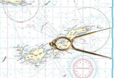
- Beaconing, lighthouse. A thorough study of the detailed nautical chart shows the waypoints with their characteristics and landmarks. Seeing them appear in front of the bow once at sea will not be a surprise for the navigator, but rather an assurance to be on the right track.
- Dangers, pitfalls. When we trace a route on the map, we can clearly see the pitfalls that can be found on our way.
- Number of miles. The distance between the start and finish point will indicate whether the course is realistic or not.
- Time estimation. The distance divided by the speed gives an estimate of the time spent at sea. But be careful, the speed cannot always be maintained. Depending on the sea or wind conditions, it will vary. It is therefore always good to leave a margin.
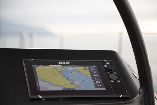
- Preparation of waypoints. With plotters or applications on our mobiles, it is possible to memorize waypoints. We will choose them, always keeping a safety margin in order not to hit an obstacle while driving on them.
- Headings to follow. When a route has several legs, you can calculate the courses to follow once you have passed each point. This is easier to do on land than at sea.
- Fallback ports. It is good to have alternatives. Solutions that can be implemented if some events lead to the obligation to divert. For this purpose, information on access to the port should be noted, as well as important information for safe entry (opening hours, telephone number, VHF channel, location of the visiting pontoon).

Once you have taken all these precautions, you can leave, keeping in mind that you will have to adjust each of the information in real time during the navigation.

Find and download the Prepare Your Route Checklist . A sheet to be printed in A5 format (half of an A4, 148 x 210 mm) and to be kept on your boat. Thus, each crew member will be able to easily refer to it to help him/her navigate.


