Easy to use
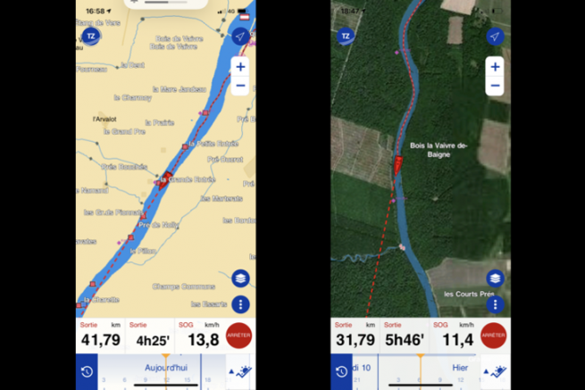
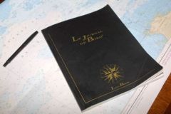
The operation is very simple. In the morning, as you cast off, you press the big blue "Nav" button at the bottom right of your screen. The TZ iBoat application starts recording your route for your logbook. You can pause the recording (which I recommend if at the lunch stop you keep the phone in your pocket while walking ashore) and in the evening you finish by recording the day's data.
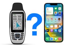
In addition to these small constraints, you must also think of recharging your smartphone, the GPS happily discharging the battery which then has difficulty surviving a full day.
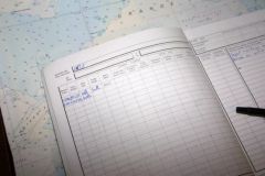
The whole point of this solution is not to relive your day the same evening (you've just lived it, it's time to think about a festive aperitif!), but to rediscover your outings and to be able to "replay" them on screen.
A long-term trial
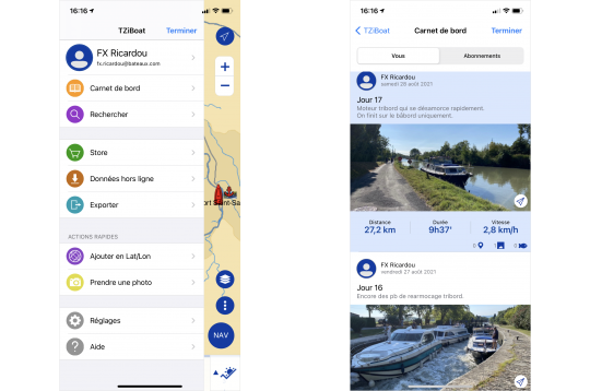
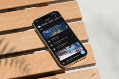
I have used TZ IBoat for the river-sea convoying of my boat during the summer of 2021 . An 18-day navigation on the Saône and Rhône rivers, the Mediterranean and the Canal du Midi. Each day, I was able to record my track, adding photos. I could have also, if I had been a fisherman, added my catches (but I don't tease the cork much...).
During the recording, the application shows you the distance covered and the time since the start, as well as the instantaneous speed (the background speed from the GPS). Every evening, when I recorded the day, I completed it with a short sentence (but a long text is also possible) to remind me of the day's events.
The pleasure of rereading your logbook
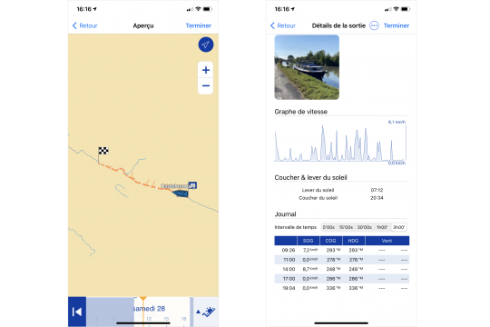
Today, after some water has passed since my final mooring, I can relive the different days, make my boat evolve on my map and find the geographical location of the photos taken along the way. The application gives me, in 5-minute intervals (which can be set between 5 minutes and 3 hours), the position, the course and the speed of the boat. If I am connected to a navigation center I will also have wind information. I can also see my boat evolve on a map background by varying the timeline.
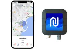
In addition, the application allows me to share this information with other TZ iBoat users, users that I have previously accepted. They can then find my logs and view them.
Free application, paid maps
The TZ iBoat application is free. Only the subscription to the cartography is not free. For my river route, I used the vector cartography "France Inland" (65,99 euros/year). I must admit that I was disappointed by the quality of the map, which is cruelly lacking in detail, whether on the Rhône or even on the Canal du Midi. For the maritime part, the advantage of TZ Iboat is that it allows you to display vector cartography, but also Raster (scanned paper maps). I admit I have a weakness for the latter and enjoy sailing with them.

 /
/ 