The North-West Passage must be earned
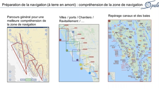
A phase of thorough preparation on land for navigation in these little frequented areas is essential. It is necessary to get used to the main navigation routes and to the very particular spirit of this geography composed of thousands of islands. For Marc, this requires a macro vision of each portion of the territory with the routes to be taken, and then a division into small areas with the necessary information such as cities and ports, supplies, bays and canals. It is advisable to consult all the navigation guides and blogs available and to refine this work by identifying and qualifying the anchorages (normal/good/excellent) that Opale will be able to choose according to the weather conditions encountered locally. This is a meticulous and precious work, completed by landmarks on Navionics and a visual overview by satellite photo of each anchorage.
The ice zones
There are 3 ice zones along the route. The CIS (Canadian Ice Service) provides statistics on the opening of the ice pack according to the regions on its website.
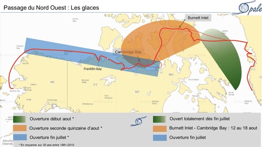
Marc explains that " the first area (green) opens in early August. For Opale, the Baffin Sea was largely open at the end of July and we did not encounter any ice for our crossing between Uppernavik and Pond Inlet.
The second zone (orange) in the heart of the North West Passage opens in mid-August. With Opale, we crossed the zone between August 12 and 18, starting from Burnett Inlet on Devon Island (sumptuous anchorage) to arrive in Cambridge Bay ».
A continuous navigation day and night - the nights are still short - in this area avoids being caught by the ice.
The third area in blue is located north of Canada and Alaska and is accessible from the end of July. The ice there is relatively close to the coast and bands of very dense pack ice can descend with strong N / NW or W winds." Opal had to go to the bottom of Franklin Bay to get around them.
The study of ice
Concentration charts provided by Canadian ice services give information on the level of ice concentration, in tenths, with color codes.
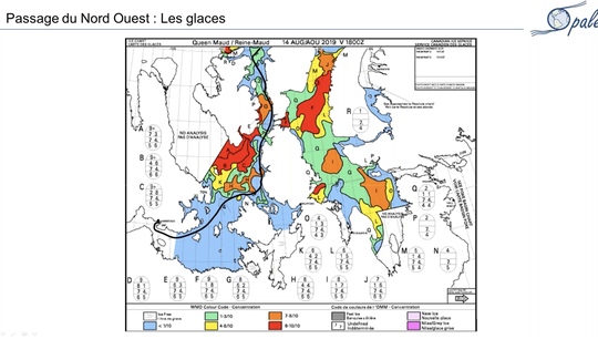
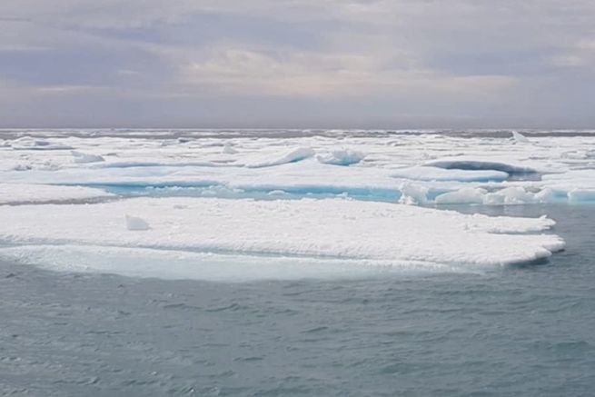
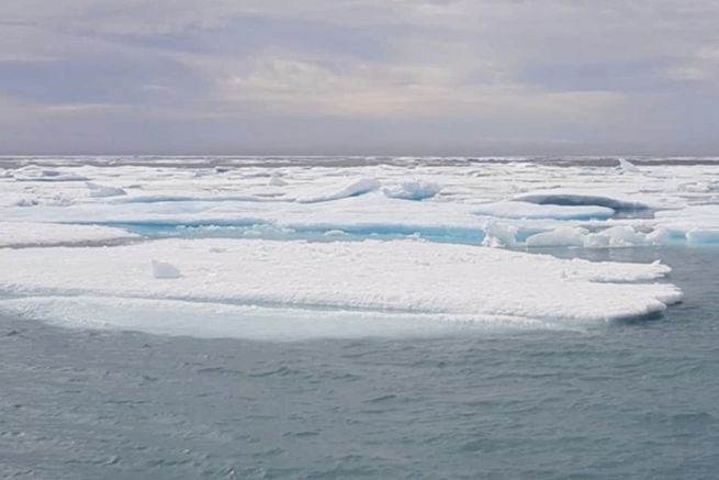
The red zone (9/10ths) corresponds to 99% of the surface concerned formed only of pack ice: it is impassable by boat. On the other hand, a light blue zone (1/10th) indicates a low concentration with little ice and no danger.
An aluminum sailboat like Opale can cross a 3/10th zone.
Caution is required and a smooth navigation under motor is completely feasible, coupled with a permanent watch in the mature to watch the channels in height.
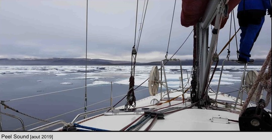
Marc adds that " polyester hulls can navigate in these areas, but you have to wait until the melt is already well underway and arrive quite late in the season in the passage ».
It is also possible to obtain weather, sea and ice conditions in text format over 3 days, via email requests to NOAA (U.S. National Oceanic and Atmospheric Administration) with the Iridium.
The keys to success
- A solid preparation upstream which required a lot of time, but which is also part of the adventure, because we already start to dream by preparing the travel books!
- The importance of doing the passage with a crew, to organize the permanent watch (even at anchor), because the navigation area is very demanding, and the crew members are very much in demand.
- A good experience in navigation is enough, while having already sailed in low pressure areas.
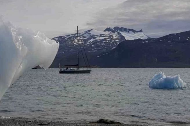
- Awareness of the dangers: you must know how to turn back if the path you are taking becomes risky for the boat and for the crew. Staying close to the coasts (warmer) to avoid getting stuck in the pack, going backwards, staying on the move, not getting too close to the icebergs are all decisions that make the adventure safer.
- The situation varies from one year to another in the Arctic according to the weather conditions, and the charts are often out of sync with the reality in front of the bow (front of the boat). It is necessary to adapt to the opening of the routes while respecting the passage calendars.

 /
/ 