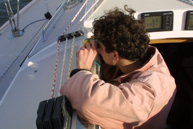
Update the nautical chart with bearings
Where does the nautical mile used by sailors come from?

Positioning on GPS and on a nautical chart: knowing the differences
File
Understand and translate data exchanged and displayed with AIS
File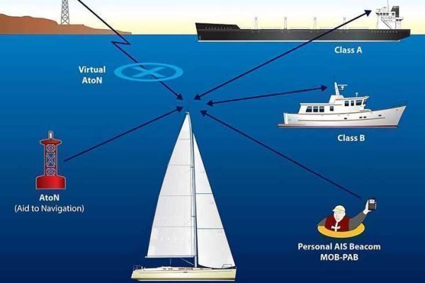
AIS, a system that makes maritime navigation safer
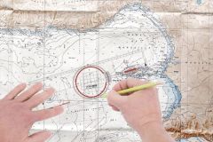
Breton protractor: how to use it to map out your route?

Tides, calculate the water heights and understand the rule of the twelfths
Mystery photo
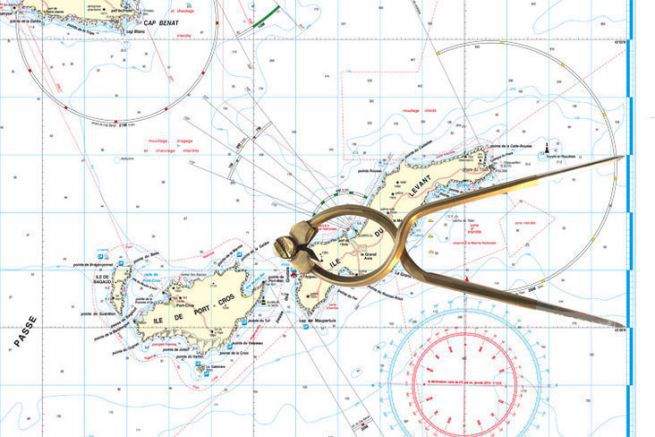
Will you be able to recognize him? The dry-point compass, the navigator's companion
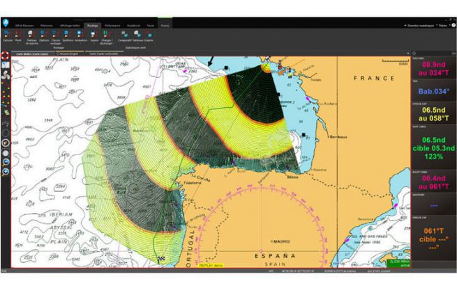
Adrena Octopus, a navigation software dedicated to cruising
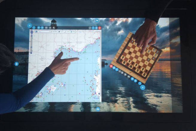
Kara touch chart table, the first brick of the connected sailboat
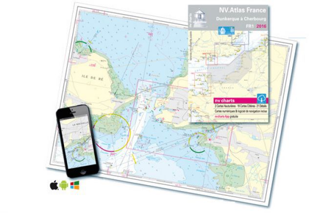
NV Charts marine charts change format
