The stopover in Baltimore (Ireland) is a great introduction to the treasures of the bay of the same name, which is well worth exploring.
Port of Baltimore, a choice port of call
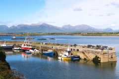
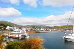
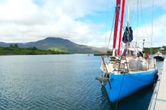
Although the marina remains basic, the services offered today to yachtsmen are quite respectable: a small pontoon for five to six medium-sized boats, sheltered visitor lockers, a wild mooring area, a pontoon for dinghies and sanitary facilities.
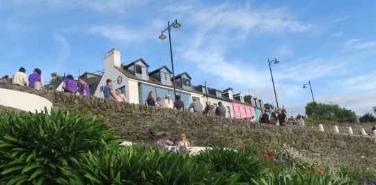
As for the village, it has grown in size: restaurants grouped together above the harbor and offering a friendly atmosphere, a small mini-market to add to its provisions, two quality artisan souvenir stores, an ice-cream parlour, a sea-view playground for children and, visibly, a few second homes which almost give it the status of a seaside resort.
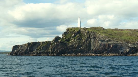
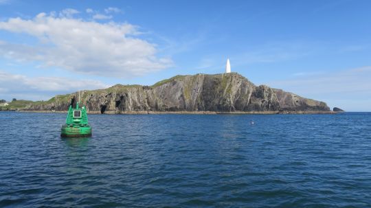
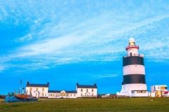
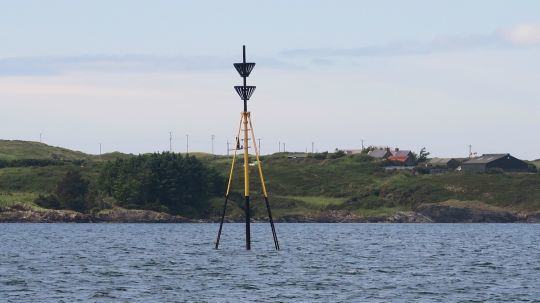
The entrance is via a narrow passage between the point bearing the imposing white bitter of Loo Point and, opposite it, the lighthouse signalling the night entrance to Sherkin Island. At the foot of Loo Point, a starboard fairway buoy marks Loo Rock. Almost in the center of the bay, a south cardinal marks Lousy Rock.
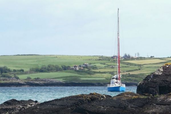
The setting is so vertiginous that the arrival is almost ceremonial: pure, verdant cliffs alongside rock with improbable geological folds and cuts.
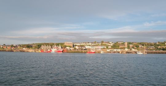
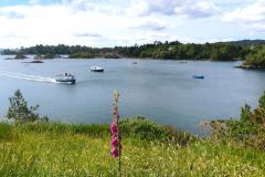
You then enter a stretch of water protected from all wind directions, a haven of peace where calm, moorland and more sheep than people reign: welcome to Ireland.
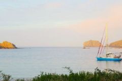
The seabed gradually rises from 10 to 2 metres in the northeast part of the bay. The small anchorage area to the south of Gregory point offers a magnificent view at sunset: the harbor and village on one side, while the moor to the west, is adorned in a flamboyant chiaroscuro.
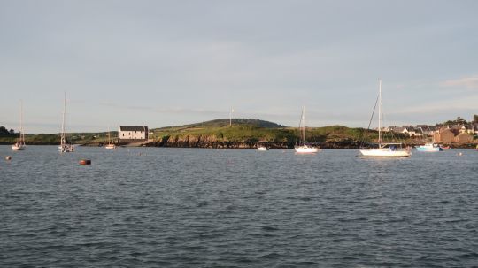
The bay lends itself perfectly to light sailing, and you'll have the pleasure of admiring the beautiful boats as they move across the landscape.
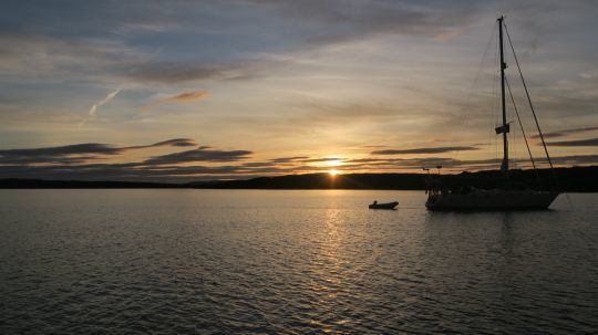
Sherkin Island
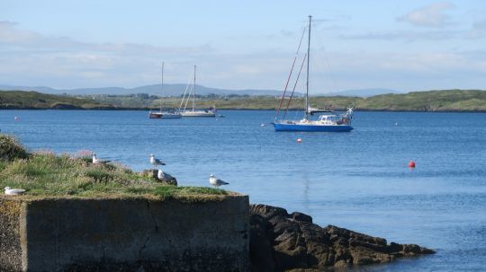
Crossing the bay, you can anchor at the end of Sherkin Island's slipway, taking care not to interfere with the many comings and goings of the ferry linking the island to the port of Baltimore. The anchorage, which is perfectly sheltered in strong westerly winds, is in about 5 meters of water.
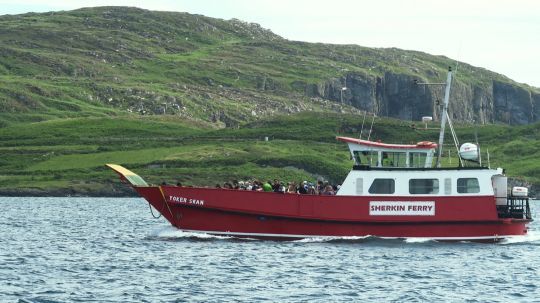
Disembarking in the dinghy on the small quay gives you access to two rides:
- A short one-hour trip with a magnificent view of Horse Shoe anchorage, a small cove with possible anchorage, but with particularly narrow access.
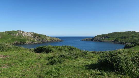
- And a three-hour tour around the island.
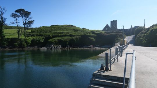
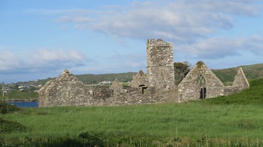
In both cases, your starting point is the ruins of an ancient abbey.
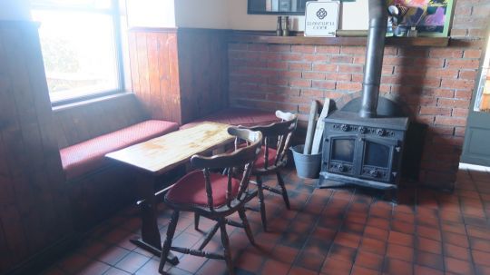
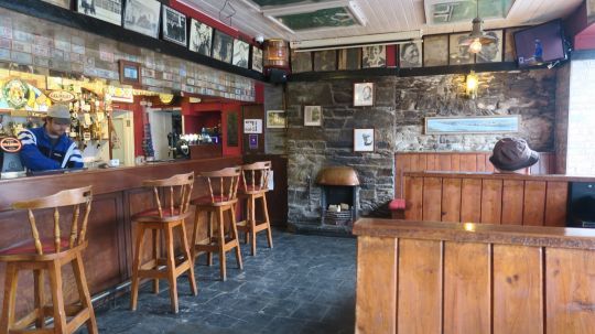
We recommend the island's only pub, "The Jolly Roger", offering a friendly welcome and a beautiful view of Baltimore harbor.
The Sound, Northwest Passage
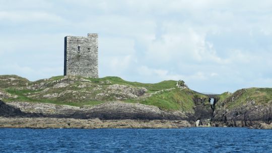
We then sailed through "The Sound" passage, to the north-west of the bay, giving access to the small islands in the western part of the bay. As in the Gulf of Morbihan, navigation in this narrow passage must be carried out with the current in the right direction, or risk treading water or even going backwards. So avoid tacking... The current is particularly strong between Quarantine Island and Sandy Island. This is when you enter Roaringwater Bay.
Nice anchorages are possible, but beware of the current and your draught. Roaringwater Bay is part of Baltimore Bay and is made up of hundreds of islands and islets, the four largest of which are inhabited: Sherkin Island, Heire Island, Long Island and Cape Clear.
At Heire Island, you can either :
- Head south-west towards Cape Clear, the island that closes off the bay to the south, not far from the mythical Fasnet rock and lighthouse.
- Or head north-west, skirting Horse Island (a private island) and Castle Island from the south or north.
Schull, Toormore and Crookhaven, east of the bay
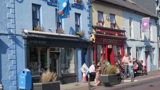
Schull Bay provides excellent shelter except in strong southerly winds. The mooring area lies to the north-west, close to a quay where you can purchase water and fuel. A small pontoon for dinghies enables you to disembark at the foot of the town, where you'll find pubs, restaurants, markets for provisions and children's play areas. From the mooring, you can admire Mount Gabriel, on which an astronomical observatory has been built.
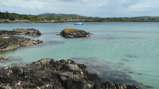
Toormore anchorage is a wild, crystal-clear haven a few miles west of Schull Bay. We stopped here for a picnic between Schull and Crookhaven, but we could have stayed overnight and enjoyed the Norwegian summer landscape.
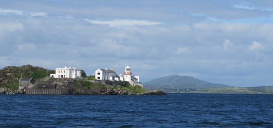
Crookhaven is an endearing little fishing village and our last port of call on the west side of the bay. The harbor is protected by a promontory, behind which forms a canyon that is open to the east and where a lighthouse and watchtower punctuate the entrance. It is closed off to the west by a large beach. The trunk area faces the quay, where pubs and restaurants line the waterfront. You can also anchor in the wild, but further west and away from the village.
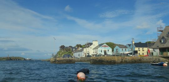
One of the pubs, the peninsula's institution from father to son, manages the occupation of the buoys. We suspect that the night in the safe was offered to us by the bar's proprietor, who speaks very good French, in exchange for two pints in his establishment.
Every large inhabited island and every small anchorage would have been worth exploring, but due to the weather conditions, we had to make choices in order to pass Mizen Head (a north-westerly cape) in good conditions. We'll have to come back another time to this pretty Baltimore Bay!
