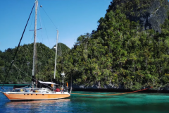
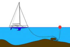
When it comes to yachting, enthusiasts are often on the lookout for singular destinations, far from the usual itineraries. In this article, we explore five little-known islands that offer not only a secluded getaway, but also the opportunity to anchor around their picturesque coasts or moor in their pretty harbors. An invitation to cast off for a disconnected retreat, at the end of more or less accessible navigations.
Jan Mayen, Norway
Anchorages and conditions
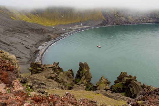
Located at 71¬į¬ 00‚euros≤¬ 00‚euros≥¬ North latitude and 8¬į¬ 20‚euros≤¬ 00‚euros≥¬ West longitude, some 550 kilometers north of Iceland and 450 kilometers east of Greenland, Jan Mayen stands out as a singular island. Stretching 53 km in length, its silhouette evokes a narrow spoon, with the glacier-capped Beerenberg volcano at its heart, rising 2,277 m above sea level.
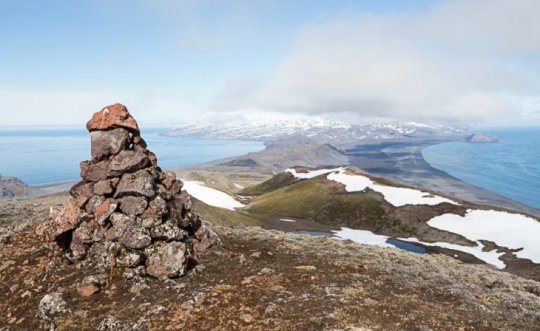
The coastline, stretching 124.1 kilometers, consists mainly of cliffs and rocky shores. Only the isthmus has marine deposits, forming two barrier beaches that delimit the Nordlaguna lagoon to the north and the larger Sorlaguna lagoon to the south. For sailors, small bays such as Guinea-bukta or Kvalrossabukta, on the eastern coast of Sor-Jan, offer mooring possibilities.
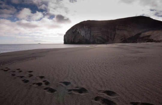
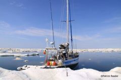
At this latitude, vigilance is called for due to strong winds and harsh temperatures. Currents and ice add to the complexity of navigation around Jan Mayen, located at the convergence of distinct oceanic water masses.
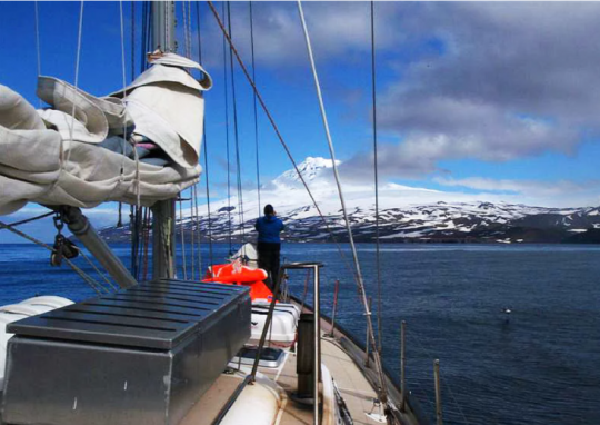
Although the cold waters of East Greenland's currents rarely touch the island's shores today, planning and mastery of navigation in this type of environment remain crucial. Reinforced survival equipment and an ice-resistant hull are essential.
Points of interest
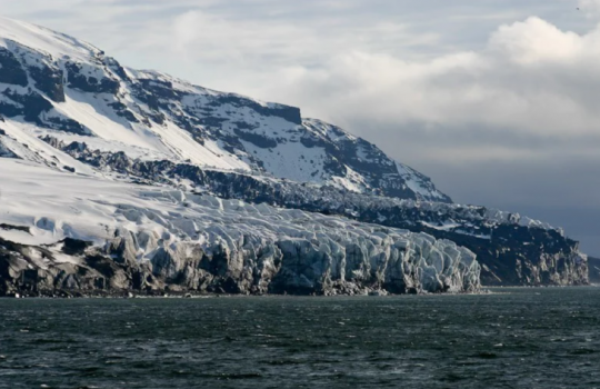
Discovered in the 17th century, Jan Mayen has been part of Norway since 1930. Witness to a history marked by whaling and military stations, the island now offers an authentic polar experience. However, visitors face logistical challenges: no tourist infrastructure, severe restrictions since its declaration as a nature reserve in 2010, and difficult weather conditions. The entire staff of the island's meteorological station live at Olonkinbyen, the only inhabited place on the island located on the Sor-Jan coast and comprising accommodation, technical workshops and an energy station. Jan Mayen rewards explorers with exceptional geological landscapes and a varied marine fauna. A polar adventure which, despite its challenges, offers a unique experience for lovers of extreme sailing.
Runde, Norway
Anchorages and conditions
The island of Runde, located at 62į 23' 6" North latitude and 5į 47' 10" East longitude, off the Norwegian coast, offers suitable anchorages in the surrounding waters, depending on weather conditions and local regulations.
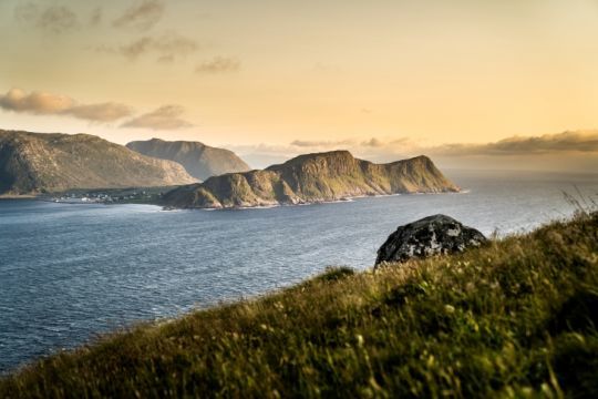
Options include Havnneset, a harbor on the east side of the island offering mooring opportunities, as well as port facilities in the municipality of Heroy, to which Runde is attached.
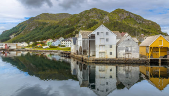
If you're planning a more extensive exploration of the area, other nearby ports and anchorages can be considered, such as Alesund further north. Sailing close to the cliffs requires special attention to local winds.
Points of interest
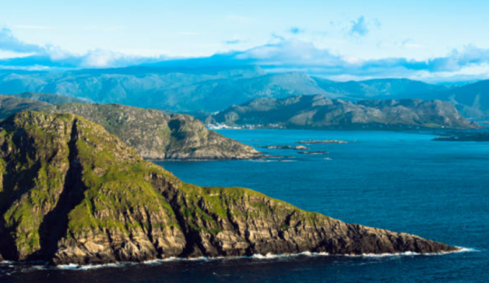
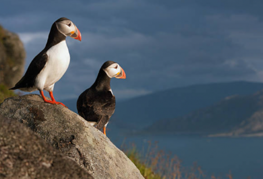
The Rundehornet rock formation offers a panoramic view of the sea: Varden is the island's highest point, at 333 meters above sea level. Renowned for its bird life, Runde is a birdwatcher's paradise. It's an important bird nesting area, with species such as puffins, razorbills, guillemots and others. Runde's steep cliffs and environmental conditions make it an ideal site for seabirds to breed and live.
Samso, Denmark
Anchorages and conditions
The island of Samso, in the heart of the Danish Kattegat, lies at latitude 55į 54' 0" North and longitude 10į 35' 0" East, in the Baltic Sea. Sailors can moor there by boat in well-equipped ports such as Ballen.
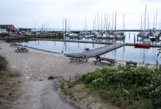
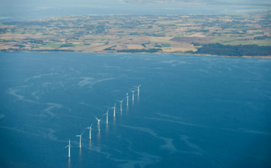
Conditions are generally mild, facilitating navigation. However, navigation in the vicinity of offshore wind turbines requires particular care.
Points of interest
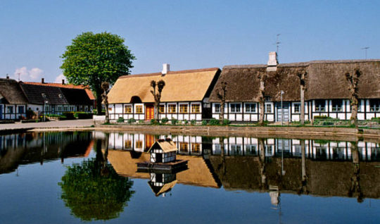
In 2007, Samso became the first island to be self-sufficient in renewable energy. Renowned for its potato and strawberry crops, the island is home to 22 traditional Danish villages, and offers visitors the opportunity to sample delicious local produce.
It is also home to the world's largest labyrinth, the 6-hectare Samso Labyrinten.

Fair Isle, Scotland
Anchorages and conditions
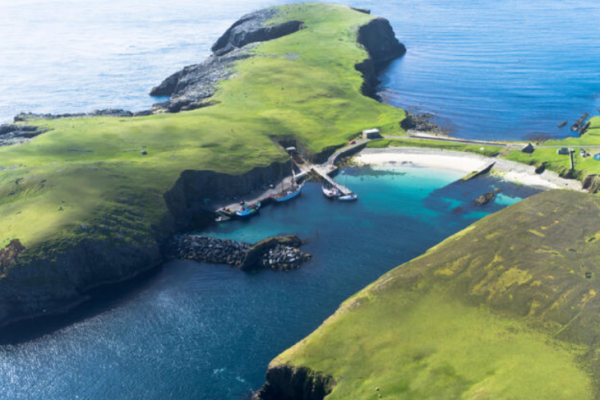
Fair Isle is a small island located at 59¬į 32‚euros≤ 30‚euros≥ North latitude and 1¬į 37‚euros≤ 21‚euros≥ West longitude in the North Sea off the coast of Scotland, halfway between Orkney, to the southwest, and Shetland, to the north, on which it depends both geographically and politically. The crossing between Fair Isle and the Shetland mainland represents a risky twenty-four-mile itinerary through waters prone to swift currents, requiring extensive local knowledge of the tide. Two lighthouses, built in 1892, aid navigation.
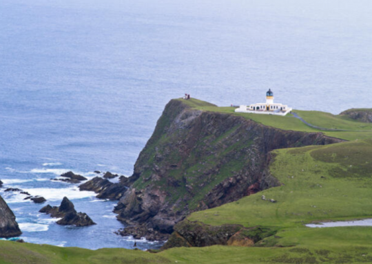
Weather conditions can be changeable, but the island's relief creates sheltered spots.
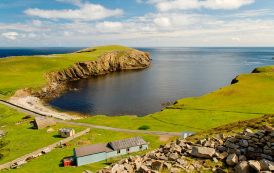
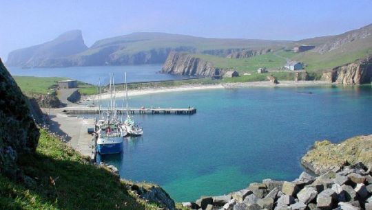
North Haven harbour, built in the 20th century with a jetty and pontoon, offers safe anchorage.
Points of interest
Fair Isle, with its modest dimensions of 4.8 kilometers long and 2.4 kilometers wide, covers an area of 7.68 km≤, making it the most isolated of the UK's islands. Acquired by the National Trust for Scotland in 1954, the island is home to a permanent observatory for migratory birds, where enthusiasts can spot Siberian nesters such as the Petchora's Pipit, Lanceolate Locust and Pallas's Locustella. Grey and harbor seals are frequently seen, with harbor porpoises most frequently observed in summer. Whales and dolphins sometimes sail close to shore. Atlantic white-beaked dolphins, killer whales and minke whales are often spotted from boats.
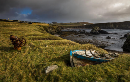
This sparsely populated haven attracts nature lovers. Explore the island on foot to discover Malcolm's Head with its panoramic views, the remains of the Napoleonic watchtower, Sheep Rock with its intrepid sheep, and the moors to the north with the North Stack lighthouse. As you explore, you'll also come across local maritime traditions: fishermen hoist their yoals onto the beaches, wedging them in "noosts", stone niches shaped by time.
Gotland, Sweden
Anchorages and conditions
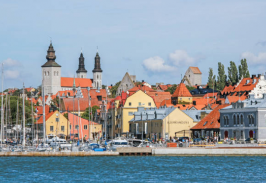
Gotland Island is Sweden's largest island, located in the Baltic Sea at latitude 57¬į¬ 28‚euros≤¬ 51‚euros≥¬ North and longitude 18¬į¬ 29‚euros≤¬ 18‚euros≥¬ East. Weather conditions in the Baltic Sea can be mild in summer, but sailors should be aware of sudden weather changes. On the west coast, the well-protected Visby marina has 250 berths. Maximum draught is 7.5 meters.
Points of interest
The island of Gotland is known for its rich historical heritage, medieval churches and ramparts, as well as for its picturesque character and natural landscapes.
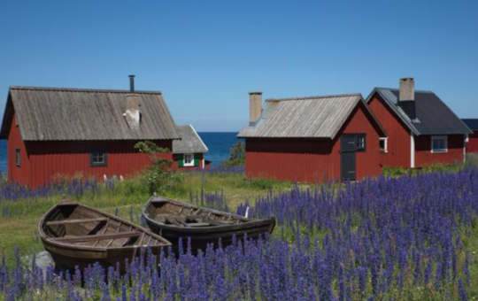
The island's main town is Visby, which is also a UNESCO World Heritage Site for its well-preserved medieval center.
Gotland is a limestone plateau with no mountains. Gotland's highest point, at Lojsta in the center of the island, is just 83 meters above sea level. However, the cliffs along the west coast are often quite impressive.
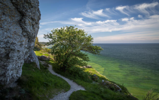
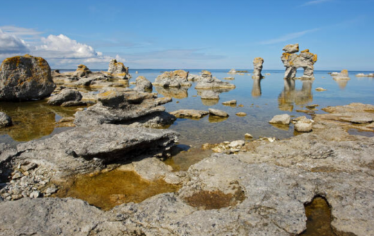
The northern and southern parts of the island are dominated by arid landscapes, some of which are alvars, dry moors, while the center of the island is one of Sweden's most fertile regions. Sea-sculpted limestone pillars, known as raukars, can also be found mainly in the north and south of the island. They can reach heights of up to 10 metres.
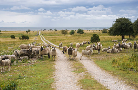
Gotland is known for its great diversity of flora and fauna, especially birds and orchids. Numerous reserves have been created on the island to preserve the environment. The Gutefar, a small, robust breed of sheep, is Sweden's oldest sheep breed and one of Northern Europe's short-tailed breeds. The island is also home to a hardy pony breed, recognized as the oldest in Scandinavia.
