Maupiti Atoll
Maupiti is a small atoll of 12 km≤, located in the western part of French Polynesia. The island is part of the archipelago of the Leeward Islands, but does not receive the intense tourist traffic of its neighbor, Bora-Bora.
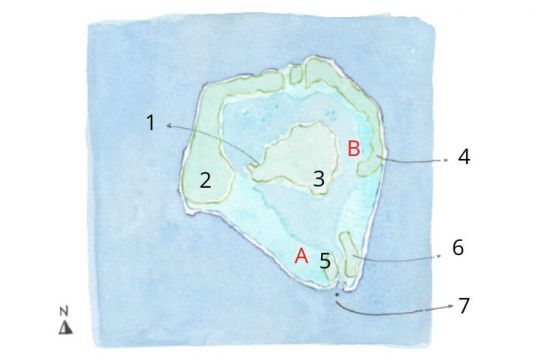
The island, which refused the construction of hotels on its territory, is in fact an ancient volcano that collapsed into the sea. Today, the atoll consists of a main island surrounded by five motus: Auira, Tuanai, Pae'ao, Pitiahe and Tiapa'a. A little more than 1200 inhabitants live on the island, mainly in the small village of Vai'ea.
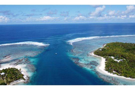
The Onoiau Pass
Maupiti atoll is first of all famous for its pass. Between the motus Pitiahe and Tiapa'a, in the south of the island, the Onoiau pass is a narrow and dangerous passage, known to make it difficult to enter and exit the lagoon. The outgoing current is always very strong and can reach 9 knots. Many boats have capsized there!
The pass is not accessible during heavy swell, and to have good conditions to enter the lagoon is a privilege. In good conditions, it is strongly recommended to wait for slack water to enter the lagoon.
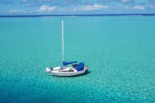
30 cm of water under the keel of the boat
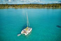
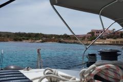
The first anchorage area, represented by the letter A on the map, is idyllic. Near the motu Pitiahe, at anchor with a very low water level, we enjoy the translucent lagoon and the white sandy bottom. Because of the nearby coral reef, the area is very quiet.
The shallow depth allows, depending on its draft, to have a foot around the boat!
Stingrays or leopard rays and tropical fish are numerous. By moving a little away from the anchorage area in a dinghy, we can also quickly spot the giant manta rays that live in the lagoon.
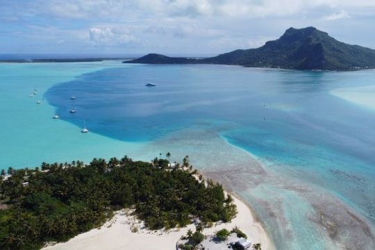
The village of Vai'ea
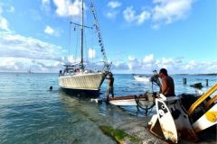
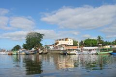
The second anchorage area, which we have marked with the letter B on the map, is just in front of the only village on the island, Vai'ea. Here, there is about 5 meters of water, and a small pontoon ideal for landing, next to the town hall and all the services offered.
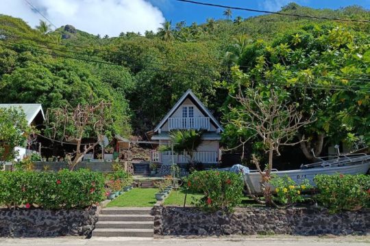
In the village, the houses and gardens are of all colors. Around the municipal services are a church, a fire station, schools with sports fields and a little further on, the small port. The coastal walk is very pleasant, and offers to see many typical boats, arranged on porticos.
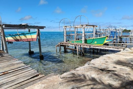
To reach the neighboring islands, it is possible to book a boat trip or a seat on a plane, which will leave from motu Tiapa'a. The OPT offers the possibility to send mail.
Renting a bike from one of the inhabitants is a good idea to discover the island, by the only road that goes around in a few kilometers. You will discover, for example, some archaeological sites, maraes and petroglyphs, and the beach of Tereia. From the latter, it is possible to reach the motu Auira by foot in a shallow water.
If you are going to be away for the day, you should bring what you need: there are several food stores and snack bars in Vai'ea, but you may not find anything to eat once you leave the village.
The ascent of Mount Teurafaatiu
From the second anchorage, you may spot the flag and the coconut planted at the end of a stick, at the top of Mount Teurafaatiu. That's where you have to go up! There are several routes to get there, all starting from the village. The easiest way is to ask the locals for information about the path to take.
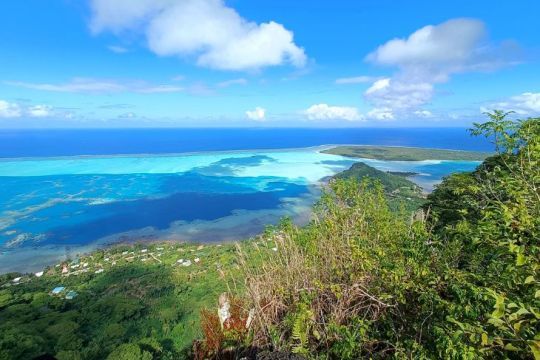
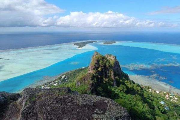
The walk lasts about 2 hours 30 round trip, and the ascent is relatively easy. Ropes help the walker at the end of the route, for the steepest parts. At the top, at 372 meters of altitude, the 360 degrees view is striking.
