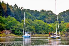
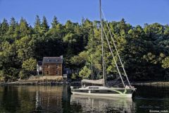
The Lot is cut by several hydroelectric dams, which make it impossible to travel it in one stretch. The upstream section is by far the most beautiful, but it can also become dangerous in high water periods, with violent currents and spectacular and especially sudden floods.
Following a simple storm, the flow can become so strong in a few hours that it transforms the peaceful river into an impetuous flow. This happens quite regularly at the beginning of the season. Outside of these periods, navigation on the Lot requires a certain amount of attention because of the high locks, which are often adjacent to the weirs. Above all, the often rocky bottoms do not forgive the slightest inattention. For all these reasons, the different rental companies who operate here take care to give their customers good advice. Even more than elsewhere, they make sure of their renters' skills during a navigation test.
The river embraces hills full of orchards and vineyards
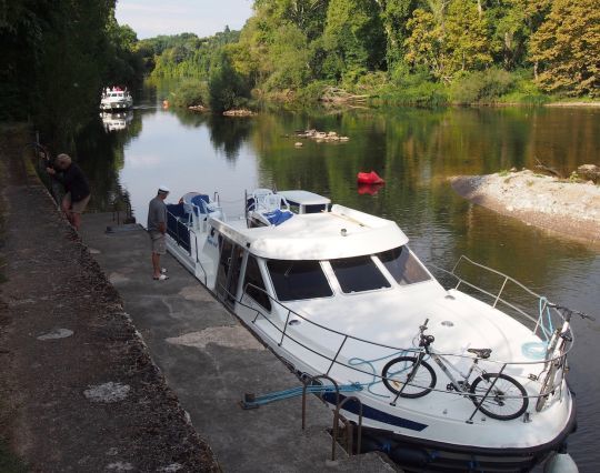
The hydroelectric dam of Luzech, marks the downstream limit of this section. This small town was for a long time an important boating town before the dam made it a terminus. The first reach is enchanting. The river meanders at the foot of gentle hills where castles surrounded by vineyards emerge. We are attracted by the swimming areas, but it is better to keep an eye on the navigation, one eye on the map, the other on the river to avoid leaving the channel. A short stone quay offers to disembark one or two crew members who will go and prepare the lock. These are manual and perfectly maintained.
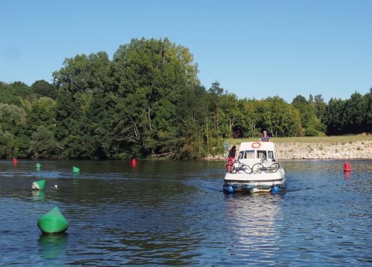
Under the surface, a rocky chaos to avoid!
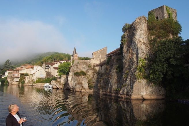
Upstream from Douelle, the landscape is simply sublime, as varied as it is steep. The greenery offers a setting to the warm tones of the stone from here, and from which emerges, there a castle, here the bell tower of a village... The castle of Mercuès is nicely reflected in the valley, but we soon have to lower our eyes to follow with attention the markings of a narrow rocky gorge, 2 km long. In transparency, it is easy to see that any deviation from the route would not fail to have consequences! As soon as you pass the lock, the landscape calms down and the banks turn into beautiful gravel beaches. An amazing contrast!
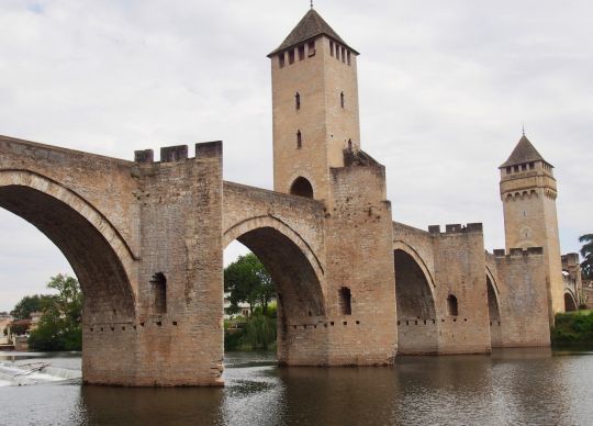
The bridges and towers of Cahors, at the crossroads of the river and the road to Santiago
Cahors is built on an isthmus sculpted by the river. One approaches it first by crossing the superb Valentré bridge which raises its towers above the lock. You can moor at the right bank stop or pass by the very pretty Coty mill and continue to the Bullier port, or even to the swimming pool pontoon. None of them is far from the heart of the city where it is good to get lost. Each street, each little square makes you want to linger before your eye is drawn to the next. Cahors is a pretty town on a human scale where you can enjoy your stay to the sound of the warm local accent.
A drink at the table of the Mémé du Quercy
Laroque-des-Arcs is one of those villages with such a pleasant river frontage that it is difficult not to stop there: a welcoming quay, a chapel on the height from which the view embraces a beautiful piece of the valley, but also a rock overhanging from which the local youth dives to refresh themselves... The village owes its name to a Roman aqueduct which crossed a stream here and had several rows of arches on the model of the Pont du Gard. Impossible to come to the Lot without visiting the Mémé of Quercy the same one which regales the visitors of the Nautic of foie gras sandwiches and Cahors wines. This association of producers is holding a store in Vers for the summer season. D t's hard not to come back on board with arms full of duck sausage or of this famous white wine, harvested early in the morning "so as not to lose the freshness of the grain"...
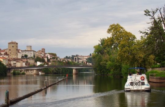
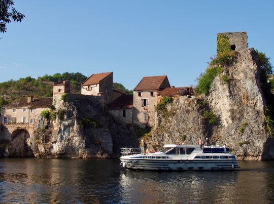
Saint-Cirq-Lapopie, the pearl of the Lot!
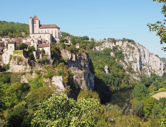
Shortly after Bouziès, we go along one of the most emblematic sites of the Lot: the towpath was dug in corbelling on nearly 700 m downstream from the lock of Ganil. The channel passes at the foot of the rock finely sculpted and polished by Daniel Monnier, an artist from Toulouse. But here is the highlight of the cruise: Saint-Cirq-Lapopie. This eagle's nest village is reflected in the valley, as far as the mill next to the lock. It is from there, by turning around, that one embraces all the splendor of the place! Wherever your eyes take you, it is an enchantment of water running over the stones of the dam, of slender stones and greenery illuminated by the sun. At the exit of the canal, the stopover is perfectly equipped and adjoins a bathing area where the crew can relax from the fatigue of navigation.
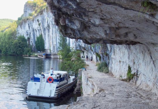
Whimsical, sometimes angry, but always superb, the Lot is fascinating to navigate! Following the road requires a sustained attention, but the landscapes are so varied and so well adorned with shadow or light from one meander to another, that one remains dazzled. If the cliffs, vineyards and multi-centennial buildings delight the eye, one only has to add the wine, the gastronomy and the friendship of the local people to have a thousand reasons to come and taste the waters of the Lot!
Local tips and tricks :
- Only the rocky areas are marked. It is imperative to follow the channel indicated on the map and not to cut inside the curves.
- The slightest storm can turn the peaceful river into a raging flood. Pay attention to the weather forecast and check the water level before setting out.
- Some locks are attached to a dam. Anticipate the cross-current to a large extent
- Manual locks are equipped with a safety system that disengages the opening of the doors if the gates are not fully raised. We must sometimes groping to get around this weirdness.
- In Luzech, the Planet of the mills is a wonderful museum around the rotational movement. A uss as exciting for the technicians as for the children!
- In Douelle, you can take a paramotor flight over the valley.
- In Cahors, François Sol the boss of the Casino shop comes to deliver the boats with its triporteur.
- You will not hesitate to go for a hike to discover the remains of the Roman aqueduct, 33 km long, which supplied Cahors with water.
- Swimming is possible on the Lot. The beach upstream Saint-Cirq-Lapopie is perfect, but there are many others!
The upstream Lot in summary:
- Length 75 km
- 17 locks operated by the user
- Speed limit of 12 km/h over 25 m from the shoreline and 5 km/h near the shoreline and in the diversion channels
- Vignette and navigation tax: no
- Navigation manager : Conseil départemental du Lot
- Template: 30 x 5 m
- Minimum air draft : 4,40 m
- Minimum draught : 1,00 m
- Renter : Les Canalous in Luzech, Le Boat in Douelle, Babou marine in Cahors and Lot navigation (Nicols) in Bouziès
- Period of unemployment: from 1 er november to 1 er april
- Closure to navigation during high water periods (PHEN II panel, or above 200 m³/s downstream from Vers and 170 m³/s upstream)
- Smartphone application : no
