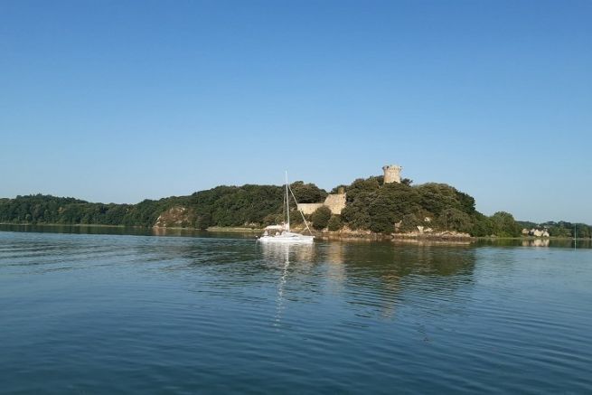
The Rance is a river sometimes sinuous, sometimes canalised or sometimes maritime river, which offers a great variety of landscapes.
Follow the valley and its river, gently, and see for yourself where it leads you. You won't be disappointed!
Navigation on the Rance, from St-Malo to Dinan, can be divided into 3 distinct parts
- From St-Malo to the Rance dam
- From the Rance dam to the port of Plouër-sur-Rance
- From the port of Plouër-sur-Rance to Dinan.
These three parts have different technical characteristics but they have in common that they can only be navigated by vessels with a maximum draught of 1m40. To this, we must add the two locks of the course: the lock of the Rance dam which should be approached knowing the principle of operation of the dam already mentioned in our columns, and the Chatelier lock whose opening hours are linked to the water level downstream.
The distances are short, but the speed is low because it is limited as on all rivers and canals. The maximum speed allowed is 3 knots on the canals and 5 knots on the rivers, in order to preserve the state of the banks. On certain sections and near ports, the speed may be lower. In this case, a sign indicates it.
Day 1 : from Saint Malo to La Richardais
We no longer present Saint-Malo, the corsair city, that you will have taken the time to discover by making the tour of the ramparts (magnificent view on the bay) and the city intramuros for its small streets and haunts of corsairseuros
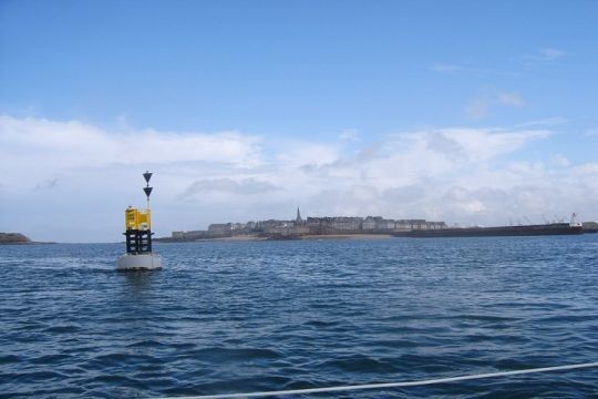
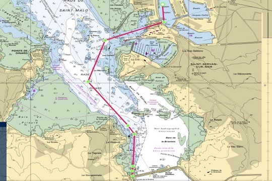
1 era stage of the day : Saint Malo euros the dam of the Rance. It does not present any particular difficulty, except for a little current and the lock.
Like all locks, it is approached with a few simple rules:
- Calm down
- A good preparation of the boat, i.e. a hawser at the front and back cleats and a flying hawser ready.
- Numerous fenders on each side
- A crew equipped with PFD - life jacket
The game consists of mooring either alongside another ship or along the quay by passing the hawsers (without dead turns) around the hangers at the front and back of the boat.
Once you have passed through this door, the Rance is yours!
No difficulty, just follow the many side markings towards the Richardais.
Located on the left bank of the Rance, the port of La Richardais, actually the Moulin Neuf cove, allows for a peaceful mooring on a buoy. Near the tide mill, a large slipway, a vestige of the port's economic activity, allows you to dock easily with your tender.
If the harbour is no longer used or little used for economic purposes, it is very convenient for pleasure boating.
To do
From the harbor, it is possible to walk to the tidal power plant of the dam from the coast.
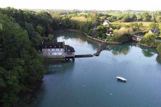
Day 2 : from La Richardais to Plouër sur Rance
Ideally located between St-Suliac and the Chatelier lock, the port of La Minotais in the commune of Plouër sur Rance, is the only port with a pontoon. It can be used as a starting point for many explorations of the small anchorages around during the slack tide. It is a nice stop for this 2nd day of navigation.
For those who have transportable boats, it is a nice starting point for a hike that avoids the Rance dam.
To do
A hiking trail starts near the restaurant to join the GR which runs along the Rance and the canal via the towpaths from La Richardais to Dinan. You can continue the hike to the Sainte-Anne chapel and the church of La Souhaitier where the Cap-horners came to pray and offer their ex voto.
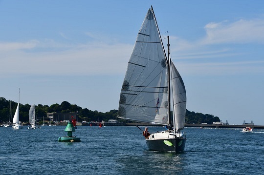
Day 3 : from Plouër sur Rance to Taden
Taden is the ideal and quiet stopover before reaching the city of Dinan. In spite of the few infrastructures on the spot, the mooring is easy and the bottom is sufficient for draughts up to 1,5m.
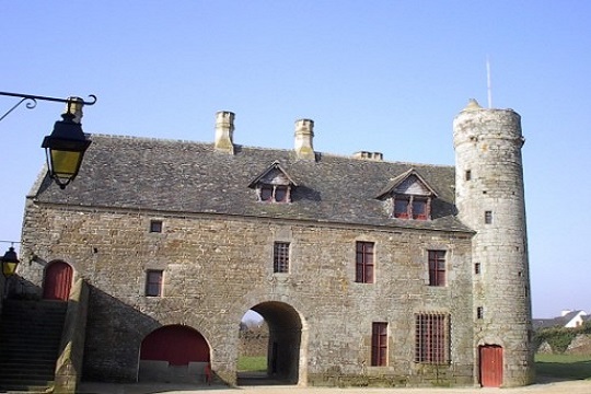
This stopover allows us to reach the village of Taden to visit the manor of the Grand'Cour and find the remains of a Gallo-Roman site. The whole village with its old stone houses takes us back to the Middle Ages quite easily
To do
Le Manoir de la Grand'Cour : this superb XIVth century building is the seat of the Lordship of Taden.
The church of Saint Peter. Very old, it is in the shape of a tau or cross of Saint Anthony and keeps several elements of the art of the XIVth century.
Day 4: from Taden to Dinan
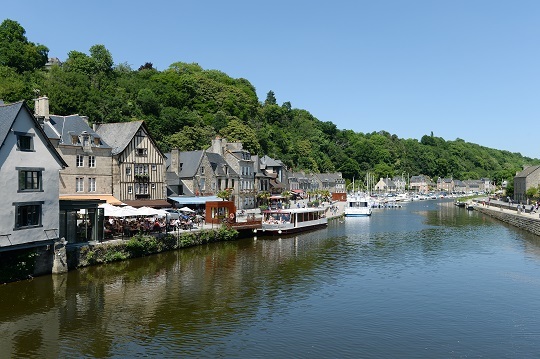
City of art and history, Dinan is the goal of this walk. Located in the heart of the city, the port of Dinan does not present any particular difficulty of access. The only problem is the lack of space in season. The mooring of the boats in stopover is done in the downstream part of the port on spaces reserved on the left bank.
Leaving the port to reach the city center, the rue du petit fort offers us a range of old half-timbered houses and/or with small doors and windows (small door, small tax)
You should also look up. Shopkeepers and art galleries compete with each other to create signs that take the visitor back a few centuries!
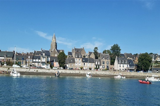
Day 5 : from Dinan to Saint Suliac
It's time to return. You know the route by heart except that the green beacons are left on the port side and the red ones on the starboard side.
Easy to access during the hours of rising tide and slack water (with regard to the device of the dam), it is however necessary to be careful during the falling tide because the current can be strong in the zones of constriction like at the point of Landriais. The zone of evolution always in water remains however rather broad on this part of the basin.
The harbor is under municipal management, but the visitors' buoys are managed by the nautical base, which should be called before taking any trunk (4 buoys are available for visitors).
To do
The Beauchet tide mill and the path of the Garot Point promontory
The Viking camp after the Garot point
Day 6 : from Saint Suliac to Saint Malo
Beware of the current! This is the instruction to leave the Rance and to arrive in the best conditions at the lock of the dam. Respect the instructions, the queue and everything will be fine.
Go up to Saint Malo following the markings and present yourself at the entrance of the Vauban basin. You will be close to the city, but not too close.
If you didn't have time to go, consider visiting the Solidor Tower and the Cap Horniers Museum.
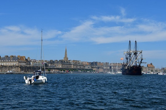
This small walk, certainly incomplete, gives you a small outline of the charms of the Rance.
SHOM chart used to prepare this navigation :
- 4233 from Saint Malo to Chatelier lock
River map
- Fluviacarte Bretagne n°12
